Download
Preview
Add to list
More
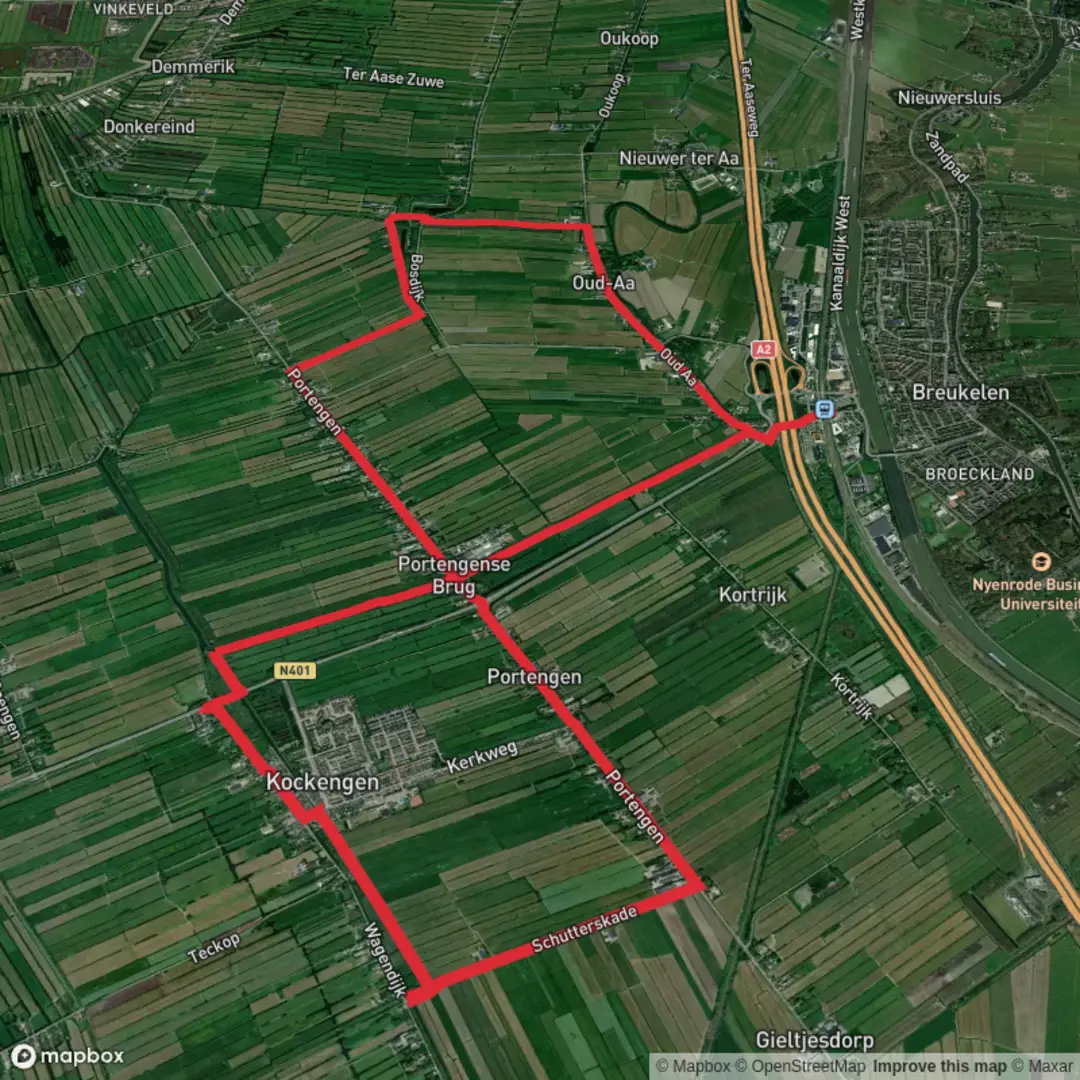
18.0 km
~3 hrs 36 min
0 m
Loop
“Meandering through timeless Dutch polders, this gentle loop pairs wildflower meadows with centuries-old waterways.”
Starting from the tranquil outskirts near Vianen, this 18 km (about 11.2 miles) loop hike follows the Marskramerpad and Floris V Pad, weaving through the heart of the Dutch polder landscape with virtually no elevation gain—perfect for those seeking a relaxed, easy walk. The trailhead is conveniently accessible from Vianen, a historic town just south of Utrecht. Arriving by public transport is straightforward: take a train to Utrecht Centraal, then a bus (such as line 47 or 63) to Vianen Centrum. For drivers, parking is available near the town center or at the Parkeerplaats Vianen, close to the Lek River.
Through the Polders and Along the Grote Heicop
The route quickly immerses you in the quintessential Dutch countryside, with wide-open fields, grazing cattle, and the ever-present network of ditches and canals that define the region. The Marskramerpad, part of the European long-distance E11 trail, and the Floris V Pad, named after the medieval Count Floris V, both trace ancient routes once used for trade and travel. The Grote Heicop itself is a historic waterway, and you’ll follow its banks for a significant stretch, enjoying views of reed beds and waterfowl.
Landmarks and Points of Interest
At around 4 km (2.5 miles), you’ll pass close to the hamlet of Hei- en Boeicop, a ribbon village with traditional Dutch farmhouses and a charming 19th-century church. The area is rich in birdlife—look for herons, storks, and the occasional kingfisher darting along the water. In spring and summer, the meadows burst with wildflowers, and the air is alive with the calls of lapwings and skylarks.
Continuing along the Floris V Pad, you’ll skirt the edge of the Zouweboezem nature reserve at about 10 km (6.2 miles). This wetland is a haven for rare marsh birds, including the purple heron, and offers a peaceful spot for a break. Wooden boardwalks and observation points provide excellent opportunities for birdwatching and photography.
Historical Context and Navigation
The landscape here has been shaped by centuries of water management, with dikes, pumping stations, and windmills bearing witness to the Dutch battle against the sea. The Marskramerpad and Floris V Pad both follow routes that have been in use since medieval times, connecting towns and villages across the low-lying land. The region’s history is palpable in the old farmsteads and the carefully maintained waterways.
Navigation is straightforward, with well-marked paths and signposts at key junctions. For precise route guidance and up-to-date trail conditions, use HiiKER, which provides detailed maps and GPS navigation for both the Marskramerpad and Floris V Pad.
Practical Tips
There are several small villages along the route where you can find cafes and rest stops, but services can be limited on Sundays and holidays. Bring enough water and snacks, especially if you plan to linger in the nature reserves. The flat terrain makes this hike suitable for all fitness levels, and the well-maintained paths are accessible year-round, though waterproof footwear is recommended after heavy rain due to occasional muddy sections.
Wildlife enthusiasts should bring binoculars for birdwatching, and photographers will find endless inspiration in the ever-changing skies and reflections in the waterways. The loop returns you to Vianen, where you can explore the historic town center, known for its medieval city gate and lively market square, before heading home.

Surfaces
Unknown
Asphalt
Grass
Paved
Comments and Reviews
User comments, reviews and discussions about the Grote Heicop via Marskramerpad and Floris V Pad Loop, Netherlands.
average rating out of 5
0 rating(s)