Download
Preview
Add to list
More
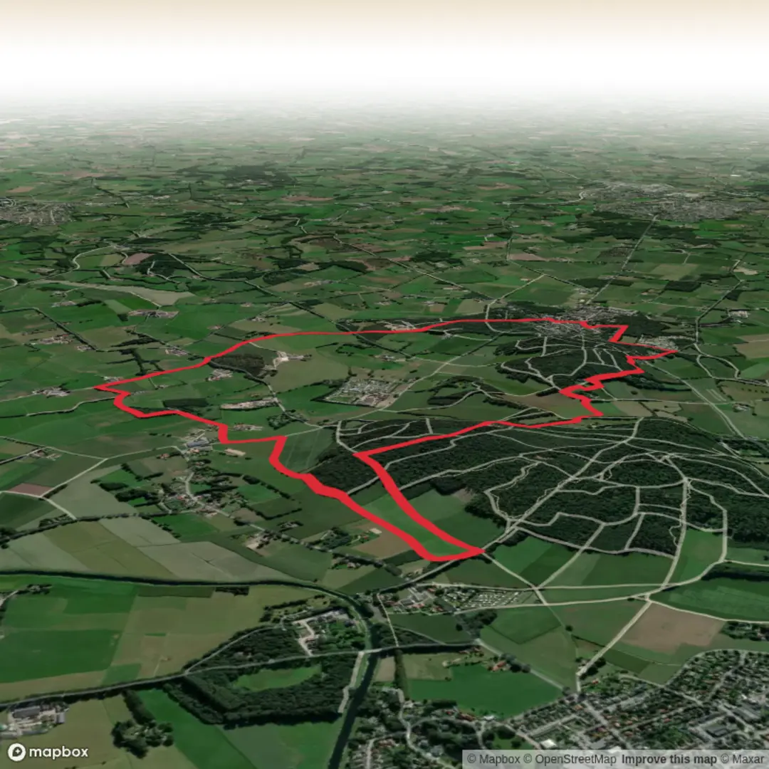
9.5 km
~1 hrs 59 min
55 m
Loop
“Wander through vibrant meadows, ancient ruins, and rolling hills, where history and nature beautifully entwine.”
Starting from the vicinity of Mount Paggaio’s southern slopes, near the village of Nikisiani in northern Greece, this 10 km (about 6.2 miles) loop offers a gentle introduction to the legendary Kale Berg region. With an elevation gain of approximately 100 metres (328 feet), the route is accessible to most walkers and is well-suited for those seeking a relaxed day hike with a blend of natural beauty and cultural intrigue.
Getting There
Reaching Nikisiani is straightforward by car, with well-maintained roads connecting from the city of Kavala, about 40 km (25 miles) to the southeast. Public transport options include regional buses from Kavala or Drama, which stop in Nikisiani’s central square—a convenient starting point for the hike. Parking is available near the village center, and local signage points toward the trailhead.
Trail Overview and Navigation
The path begins on a broad dirt track just outside Nikisiani, quickly immersing hikers in the rolling foothills of Paggaio. The route is well-marked, but carrying the HiiKER app is recommended for real-time navigation and to ensure you stay on the correct loop, especially at junctions where smaller paths branch off toward local farms and olive groves.
Landmarks and Points of Interest
About 2 km (1.2 miles) in, the trail skirts the edge of a dense oak forest, home to a variety of birdlife including woodpeckers and Eurasian jays. In spring and early summer, wildflowers carpet the clearings, attracting butterflies and bees. At the 4 km (2.5 mile) mark, a short detour leads to the ruins of a Byzantine watchtower, a silent sentinel overlooking the valley below. This spot offers panoramic views of the Strymonas River plain and, on clear days, glimpses of Mount Athos to the south.
Nature and Wildlife
The gentle ascent brings you through mixed woodland and open meadows, where you may spot foxes or wild boar tracks. The area is also known for its medicinal herbs—locals often gather oregano, thyme, and sage along the trail edges. Keep an eye out for tortoises crossing the path, especially after rain.
Historical Significance
The region around Kale Berg has been inhabited since antiquity, with archaeological finds indicating Thracian and later Byzantine settlements. The mountain itself is steeped in legend, believed by some to be the site of the mythical Mount Pangaion, famed for its gold mines and as a center of Dionysian worship. The remnants of ancient terraces and stone walls occasionally visible along the route are a testament to centuries of agricultural activity.
Final Stretch and Return
The final 3 km (1.8 miles) descend gently back toward Nikisiani, passing through vineyards and orchards. The path is shaded in parts, making it comfortable even in warmer months. The route loops back to the village, where you can enjoy local tavernas serving traditional Macedonian dishes.
Water sources are limited along the trail, so bring sufficient supplies. The hike is best undertaken from March to November, as winter conditions can make the upper sections muddy and slippery. For navigation, HiiKER provides detailed mapping and offline access, ensuring a safe and enjoyable journey through this storied landscape.

Surfaces
Sand
Unknown
Ground
Asphalt
Comments and Reviews
User comments, reviews and discussions about the Kale Berg Route, Netherlands.
average rating out of 5
0 rating(s)