Download
Preview
Add to list
More
11.1 km
~2 hrs 51 min
379 m
Point-to-Point
“The Kirchlotheim to Asel Bucht Walk offers stunning scenery, historical landmarks, and diverse wildlife in a moderately challenging hike.”
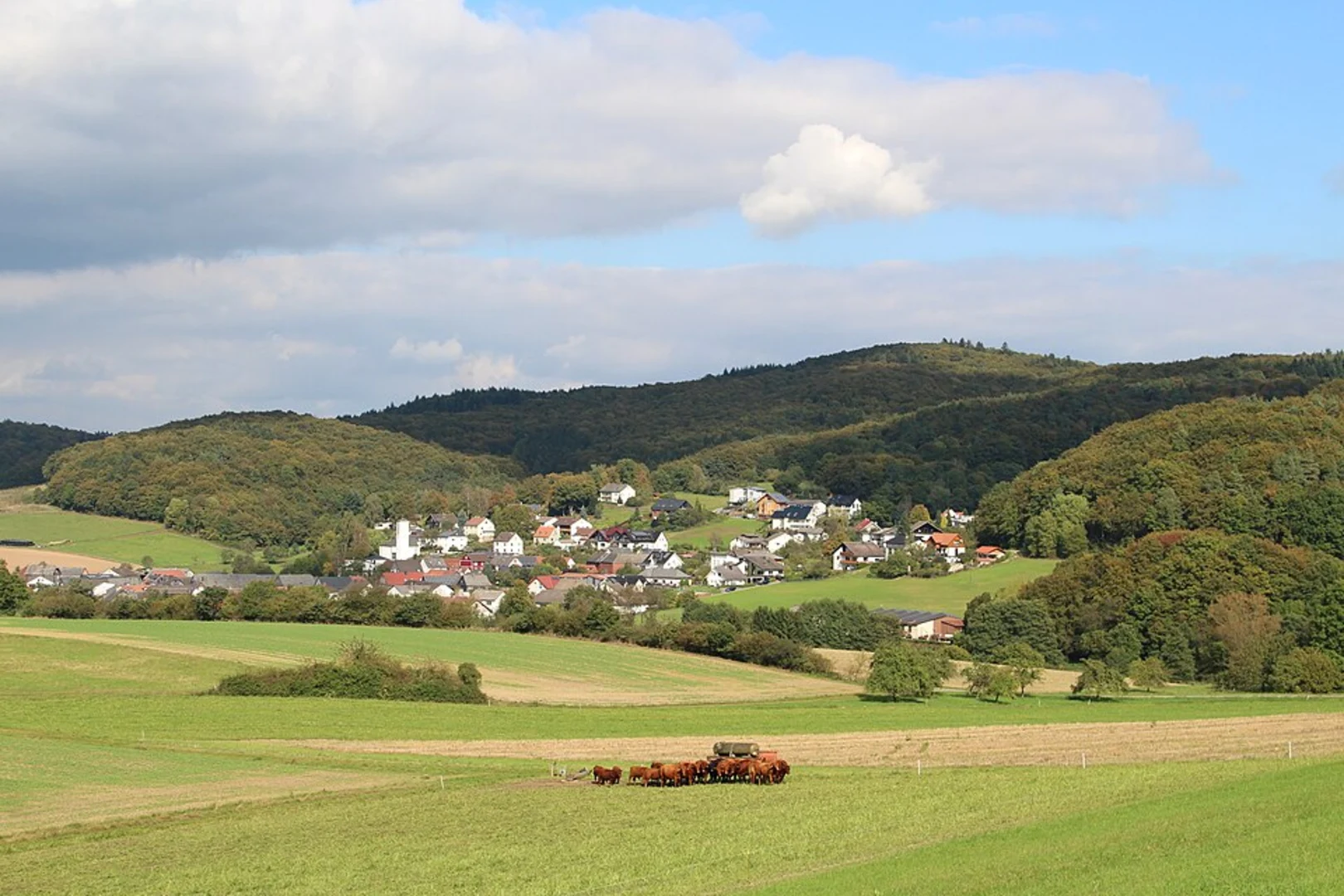
Starting near the picturesque town of Waldeck-Frankenberg in Germany, the Kirchlotheim to Asel Bucht Walk via River Eder is a delightful point-to-point trail that spans approximately 11 kilometers (around 6.8 miles) with an elevation gain of about 300 meters (984 feet). This medium-difficulty hike offers a blend of natural beauty, historical significance, and opportunities for wildlife spotting.### Getting ThereTo reach the trailhead, you can either drive or use public transport. If driving, head towards Waldeck-Frankenberg and look for parking options near the trail's starting point. For those using public transport, the nearest major town is Korbach, which is well-connected by train. From Korbach, you can take a local bus to Kirchlotheim. The bus stop is conveniently located near the trailhead, making it easy to start your hike.### Trail OverviewThe trail begins in Kirchlotheim, a charming village that serves as a gateway to the Edersee region. As you set off, you'll be greeted by the serene beauty of the River Eder, which will accompany you for a significant portion of the hike. The initial part of the trail is relatively flat, making it an excellent warm-up for the more challenging sections ahead.### Key Landmarks and ElevationAround the 3-kilometer (1.86-mile) mark, you'll encounter the first significant elevation gain as the trail ascends through a dense forest. This section can be a bit strenuous, but the effort is well worth it. As you climb, keep an eye out for various species of birds and small mammals that inhabit the area. The forest is also home to a variety of flora, including oak and beech trees, which provide ample shade.At approximately 5 kilometers (3.1 miles), you'll reach a scenic overlook that offers panoramic views of the Edersee reservoir. This is an excellent spot to take a break, hydrate, and enjoy the stunning landscape. The elevation gain to this point is around 150 meters (492 feet).### Historical SignificanceContinuing along the trail, you'll come across remnants of historical significance. The Edersee region has a rich history dating back to medieval times. Look out for old stone walls and ruins that hint at the area's past. One notable landmark is the Asel Bridge, a historic structure that dates back to the early 20th century. The bridge was submerged when the Edersee reservoir was created but re-emerges during periods of low water levels, offering a fascinating glimpse into the past.### Wildlife and NatureAs you approach the final stretch of the trail, the path descends gently towards Asel Bucht. This area is a haven for wildlife, particularly waterfowl and fish. The tranquil waters of the Edersee provide a perfect habitat for species such as kingfishers, herons, and various types of ducks. If you're lucky, you might even spot a deer or wild boar in the surrounding woods.### Navigation and SafetyFor navigation, it's highly recommended to use HiiKER, which provides detailed maps and real-time updates. The trail is well-marked, but having a reliable navigation tool can enhance your hiking experience and ensure you stay on track.### Final StretchThe last kilometer (0.62 miles) of the trail takes you along the shoreline of the Edersee, leading you to the endpoint at Asel Bucht. This area is perfect for a post-hike picnic or a refreshing dip in the lake. The total elevation gain for the entire hike is around 300 meters (984 feet), making it a moderately challenging but highly rewarding experience.Whether you're a seasoned hiker or a nature enthusiast, the Kirchlotheim to Asel Bucht Walk via River Eder offers a captivating journey through one of Germany's most beautiful regions.

What to expect?
Activity types
Comments and Reviews
User comments, reviews and discussions about the Kirchlotheim to Asel Bucht Walk via River Eder, Germany.
4.5
average rating out of 5
2 rating(s)