Download
Preview
Add to list
More
13.7 km
~3 hrs 8 min
241 m
Point-to-Point
“Explore Thuringian Forest's beauty and history on this 14 km moderately challenging hike from Gehlberg to Geschwenda.”
Starting near Suhl, Germany, the trail from Gehlberg to Geschwenda via Geraberger Rundwanderweg spans approximately 14 kilometers (around 8.7 miles) with an elevation gain of about 200 meters (656 feet). This point-to-point trail is rated as medium difficulty, making it suitable for moderately experienced hikers.
Getting There To reach the trailhead, you can either drive or use public transport. If driving, head towards Suhl and follow the signs to Gehlberg. For those using public transport, take a train to Suhl and then a local bus to Gehlberg. The nearest significant landmark to the trailhead is the Gehlberg Train Station.
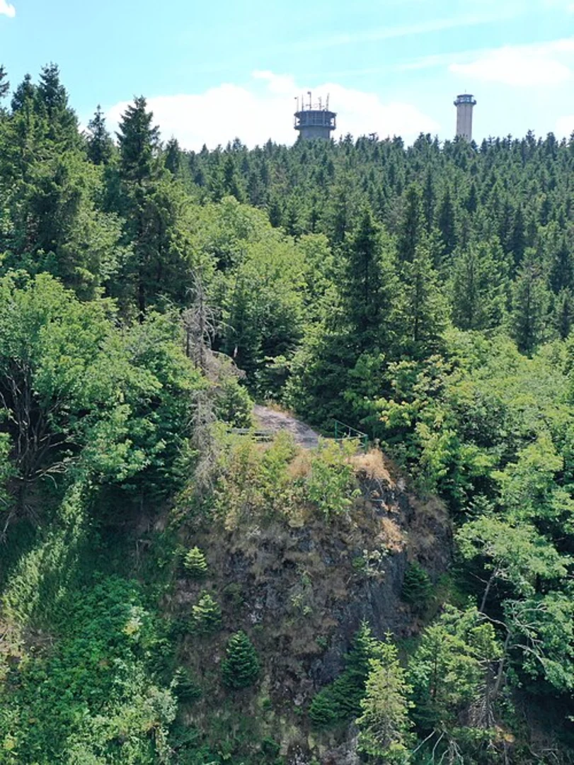
Trail Overview The trail begins in the quaint village of Gehlberg, nestled in the Thuringian Forest. As you start your hike, you'll be greeted by dense woodlands and the serene sounds of nature. The initial part of the trail is relatively flat, allowing you to ease into the hike.
Key Landmarks and Sections
#### Gehlberg to Geraberg Approximately 5 kilometers (3.1 miles) into the hike, you'll reach the village of Geraberg. This section of the trail is characterized by gentle ascents and descents, with an elevation gain of about 100 meters (328 feet). Keep an eye out for the Geraberg Herb Garden, a delightful spot where you can learn about local flora and medicinal plants.
#### Geraberg to Geschwenda Continuing from Geraberg, the trail leads you through a mix of forested areas and open meadows. This section is slightly more challenging, with an additional elevation gain of around 100 meters (328 feet) over the next 9 kilometers (5.6 miles). The landscape here is dotted with picturesque views of the Thuringian Forest and occasional wildlife sightings, including deer and various bird species.
Historical Significance The region has a rich history, particularly related to the Thuringian Forest. During the hike, you'll come across remnants of old trade routes and possibly even some historical markers indicating the area's significance during medieval times. The Thuringian Forest itself has been a vital part of German history, serving as a natural barrier and a resource hub for centuries.
Navigation and Safety For navigation, it's highly recommended to use the HiiKER app, which provides detailed maps and real-time updates. The trail is well-marked, but having a reliable navigation tool ensures you stay on track.
Wildlife and Flora The Thuringian Forest is home to a diverse range of wildlife. Keep your eyes peeled for red deer, wild boar, and a variety of bird species. The flora is equally impressive, with dense beech and spruce forests, interspersed with colorful wildflowers during the spring and summer months.
Final Stretch to Geschwenda As you approach Geschwenda, the trail descends gently, offering a relaxing end to your hike. The village of Geschwenda is a charming place to explore, with traditional German architecture and local eateries where you can unwind and reflect on your journey.
This trail offers a perfect blend of natural beauty, moderate physical challenge, and historical intrigue, making it a rewarding experience for any hiker.

What to expect?
Activity types
Comments and Reviews
User comments, reviews and discussions about the Gehlberg to Geschwenda via Geraberger Rundwanderweg, Germany.
average rating out of 5
0 rating(s)