Download
Preview
Add to list
More
13.1 km
~3 hrs 23 min
464 m
Point-to-Point
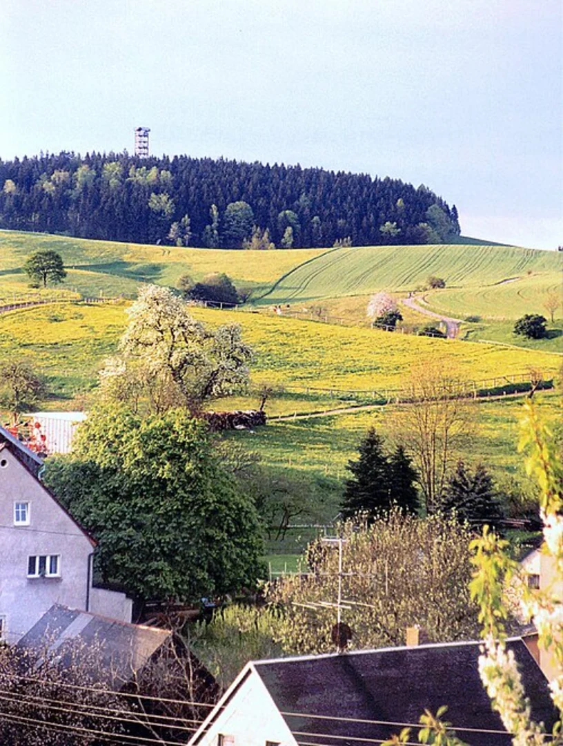
“Embark on a 13 km hike from Hinterhermsdorf, blending lush nature, historical intrigue, and stunning vistas.”
Starting your hike near the picturesque village of Hinterhermsdorf in the Sächsische Schweiz-Osterzgebirge region of Germany, this 13 km (8 miles) trail offers a delightful blend of natural beauty and historical intrigue. With an elevation gain of around 400 meters (1,312 feet), this point-to-point trail is rated as medium difficulty, making it suitable for moderately experienced hikers.### Getting There To reach the trailhead, you can either drive or use public transport. If driving, set your GPS to Hinterhermsdorf, a charming village known for its traditional wooden houses and serene landscapes. For those using public transport, take a train to Bad Schandau and then a bus to Hinterhermsdorf. The bus stop is conveniently located near the trailhead, making it easy to start your adventure.### Trail Highlights and Landmarks As you embark on the trail, you'll soon find yourself immersed in the lush greenery of the Saxon Switzerland National Park. The trail is well-marked, but it's always a good idea to have the HiiKER app for navigation. Early on, you'll encounter the Kirnitzsch River, a serene waterway that adds a soothing soundtrack to your hike.#### Dr Alfred Meiche Weg Named after the renowned local historian Dr. Alfred Meiche, this section of the trail is rich in historical significance. Dr. Meiche was instrumental in documenting the cultural and natural history of the Saxon Switzerland region. As you walk along this path, you'll come across several information boards detailing the area's history and Dr. Meiche's contributions.### Flora and Fauna The trail is a haven for nature enthusiasts. You'll traverse through dense forests of beech, oak, and pine, offering ample shade and a cool respite during warmer months. Keep an eye out for local wildlife, including deer, foxes, and a variety of bird species. The area is also known for its diverse plant life, including rare orchids and ferns.### Midway Point: Oberer Affensteinweg Approximately halfway through your hike, you'll reach the Oberer Affensteinweg, a popular viewpoint offering panoramic vistas of the surrounding sandstone formations and deep valleys. This is an excellent spot to take a break, enjoy a snack, and soak in the breathtaking scenery.### Final Stretch to Finkenberg As you continue towards Finkenberg, the trail becomes slightly steeper, gaining most of its 400 meters (1,312 feet) of elevation in this section. The effort is well worth it, as you'll be rewarded with stunning views of the Elbe Sandstone Mountains. The trail winds through narrow gorges and past impressive rock formations, making it a visually captivating experience.### Historical Significance The region has a rich history dating back to medieval times. The sandstone formations were once used as natural fortifications, and you may come across remnants of old watchtowers and fortresses. The trail itself has been used for centuries, initially by local villagers and later by tourists drawn to the area's natural beauty.### Ending at Finkenberg Your hike concludes at Finkenberg, a small but charming settlement. From here, you can either arrange for a pickup or take public transport back to your starting point. Buses run regularly to nearby towns, making it convenient to return to Hinterhermsdorf or continue your exploration of the Saxon Switzerland region.

Comments and Reviews
User comments, reviews and discussions about the Hinterhermsdorf to Finkenberg via Dr Alfred Meiche Weg, Germany.
4.33
average rating out of 5
3 rating(s)