Download
Preview
Add to list
More
14.2 km
~3 hrs 0 min
104 m
Loop
“Explore scenic beauty and history on Germany's 14 km Brunner Weg Loop, a moderately challenging trail.”
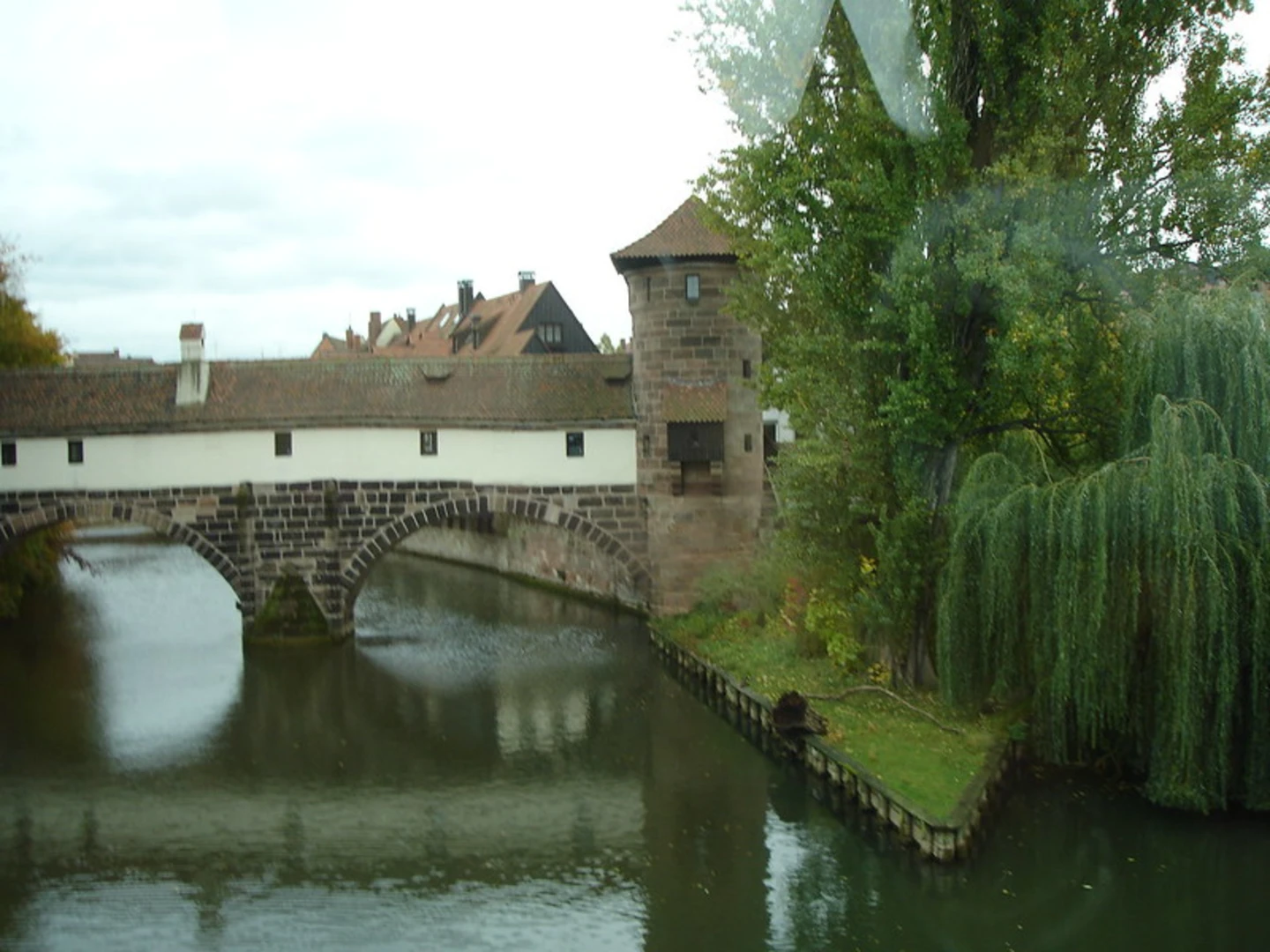
Starting near Nuremberg, Germany, the Brunner Weg Loop is a delightful 14 km (approximately 8.7 miles) trail that offers a moderate challenge with an elevation gain of around 100 meters (328 feet). This loop trail is perfect for those looking to explore the scenic beauty and historical richness of the Franconian region.
Getting There To reach the trailhead, you can either drive or use public transport. If driving, head towards the village of Brunn, located just a short distance from Nuremberg. For those using public transport, take a train or bus to Nuremberg and then a local bus to Brunn. The nearest significant landmark to the trailhead is the Brunn village center.
Trail Overview The Brunner Weg Loop is well-marked and navigable, making it suitable for hikers with a moderate level of experience. The trail meanders through a mix of dense forests, open meadows, and charming rural landscapes.
Key Sections and Landmarks - **Forest Path (0-3 km / 0-1.9 miles)**: The initial section of the trail takes you through a serene forest area. The path is shaded and cool, making it a pleasant start. Keep an eye out for local wildlife such as deer and various bird species. The forest floor is often carpeted with wildflowers in the spring and summer months.
- Open Meadows (3-6 km / 1.9-3.7 miles): As you exit the forest, the trail opens up into expansive meadows. This section offers panoramic views of the surrounding countryside. The elevation gain here is gradual, making it a good spot to catch your breath and enjoy a picnic.
- Historical Sites (6-9 km / 3.7-5.6 miles): Around the halfway mark, you will come across several historical landmarks. One notable site is the ruins of an old Franconian castle, which dates back to the medieval period. This area is rich in history, and informational plaques provide insights into the region's past.
- Rural Villages (9-12 km / 5.6-7.5 miles): The trail then winds through a couple of quaint rural villages. These villages offer a glimpse into traditional Franconian life. You might even find local markets or small cafes where you can rest and refuel.
- Return to Brunn (12-14 km / 7.5-8.7 miles): The final stretch of the trail takes you back towards Brunn. This section is relatively flat and easy, allowing you to cool down as you complete the loop.
Navigation and Safety For navigation, it is highly recommended to use the HiiKER app, which provides detailed maps and real-time updates. The trail is generally well-maintained, but it's always a good idea to check weather conditions before heading out, as some sections can become muddy after rain.
Flora and Fauna The Brunner Weg Loop is home to a diverse range of flora and fauna. In the forested areas, you can find oak, beech, and pine trees. The meadows are often dotted with wildflowers such as daisies and buttercups. Wildlife enthusiasts might spot deer, foxes, and a variety of bird species, including woodpeckers and owls.
Historical Significance The region around Nuremberg has a rich history, and the Brunner Weg Loop is no exception. The trail passes by several sites of historical significance, including medieval castle ruins and ancient farmhouses. These landmarks offer a fascinating glimpse into the area's past, from its medieval roots to its agricultural heritage.
Whether you're a history buff, a nature lover, or simply looking for a moderate hike near Nuremberg, the Brunner Weg Loop offers a well-rounded experience.

What to expect?
Activity types
Comments and Reviews
User comments, reviews and discussions about the Brunner Weg Loop, Germany.
4.5
average rating out of 5
6 rating(s)