Download
Preview
Add to list
More
6.9 km
~1 hrs 45 min
226 m
Loop
“Embark on the Xanderklinge Loop for a medium-difficulty hike through Calw's historic charm and Black Forest beauty.”
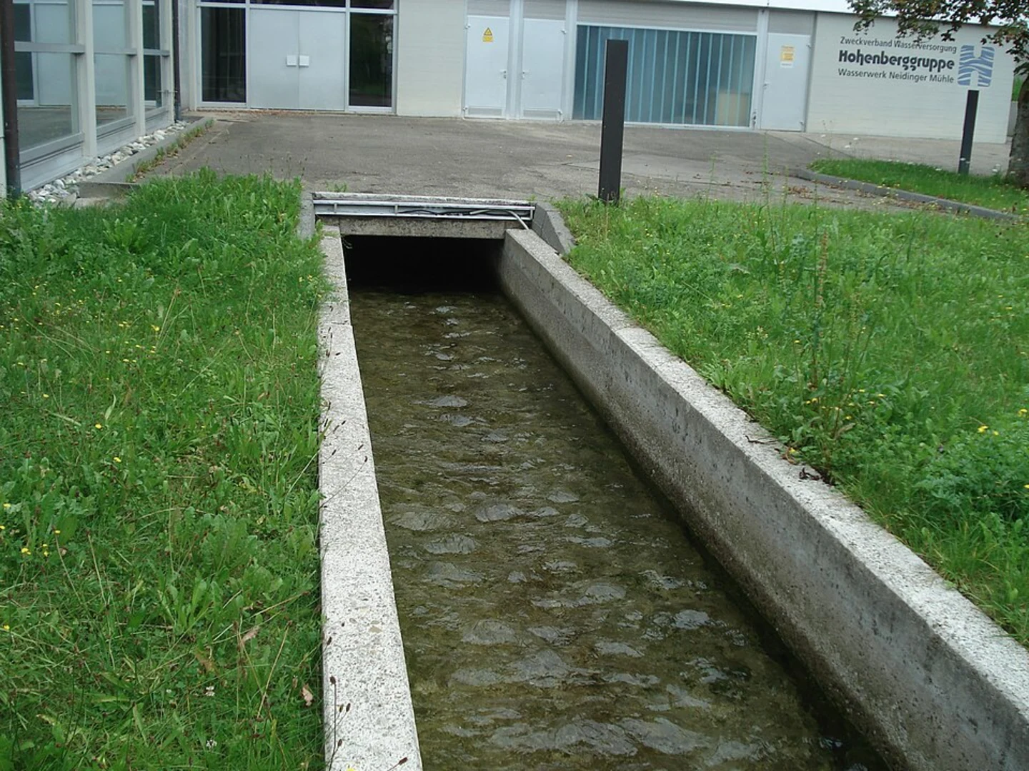
Starting near the picturesque town of Calw in Germany, the Xanderklinge Loop via Xanderklinge Rundweg offers a delightful 7 km (4.35 miles) journey through the enchanting Black Forest region. With an elevation gain of approximately 200 meters (656 feet), this loop trail is rated as medium difficulty, making it suitable for moderately experienced hikers.### Getting There To reach the trailhead, you can either drive or use public transport. If driving, head towards Calw and look for parking options near the town center or at designated trailhead parking areas. For those using public transport, Calw is well-connected by train and bus services. The nearest train station is Calw Station, from where you can take a local bus or taxi to the trailhead.### Trail Highlights and Navigation The trail begins near the historic town of Calw, known for its charming half-timbered houses and cobblestone streets. As you set off, you'll quickly find yourself immersed in the lush greenery of the Black Forest. The trail is well-marked, but it's always a good idea to have a reliable navigation tool like HiiKER to ensure you stay on track.### Nature and Wildlife As you hike, you'll encounter a diverse array of flora and fauna. The Black Forest is home to dense woodlands, vibrant wildflowers, and a variety of wildlife, including deer, foxes, and numerous bird species. Keep an eye out for the region's famous black fir trees, which give the forest its name.### Significant Landmarks Around the 2 km (1.24 miles) mark, you'll come across the Xanderklinge Gorge, a stunning natural formation that offers breathtaking views and a serene atmosphere. The gorge is a perfect spot for a short break and some photography. Continuing along the trail, you'll pass by several small streams and waterfalls, adding to the scenic beauty of the hike.### Historical Significance The region around Calw has a rich history, dating back to Roman times. Calw itself is the birthplace of the famous German author Hermann Hesse, and you can visit the Hermann Hesse Museum in the town to learn more about his life and works. The trail also passes by remnants of ancient settlements and old stone bridges, offering a glimpse into the area's historical past.### Elevation and Terrain The trail features a mix of gentle ascents and descents, with the most significant elevation gain occurring in the first half of the hike. The terrain is varied, ranging from well-trodden forest paths to rocky sections and wooden bridges. Proper hiking boots are recommended to navigate the diverse terrain comfortably.### Final Stretch As you near the end of the loop, the trail gradually descends back towards Calw. The final stretch offers panoramic views of the town and the surrounding countryside, providing a rewarding conclusion to your hike. Once back in Calw, take some time to explore the town's historic sites, enjoy a meal at a local restaurant, or simply relax and reflect on your journey through the beautiful Black Forest.

What to expect?
Activity types
Comments and Reviews
User comments, reviews and discussions about the Xanderklinge Loop via Xanderklinge Rundweg, Germany.
4.25
average rating out of 5
4 rating(s)