Download
Preview
Add to list
More
38.1 km
~1 day 3 hrs
615 m
Point-to-Point
“Experience a 38 km journey through picturesque landscapes, historical sites, and breathtaking views from Ardingly to Brighton.”
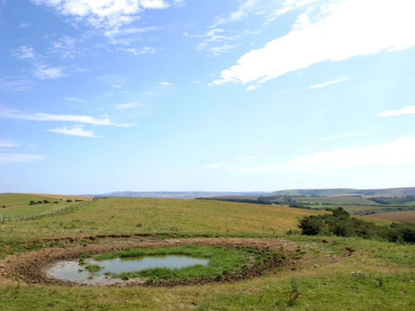
Starting near West Sussex, England, the Ardingly to Brighton Walk spans approximately 38 kilometers (about 24 miles) with an elevation gain of around 600 meters (approximately 1,970 feet). This point-to-point trail is estimated to be of medium difficulty, making it suitable for moderately experienced hikers.### Getting There To reach the trailhead, you can take a train to Haywards Heath Station, which is well-connected to London and other major cities. From Haywards Heath, a short bus ride or taxi will bring you to Ardingly, where the trail begins. If driving, parking is available in Ardingly village.### Trail Overview The trail meanders through the picturesque landscapes of West Sussex, offering a blend of rural charm and natural beauty. As you set off from Ardingly, you'll traverse through lush woodlands, open fields, and quaint villages, each offering its own unique charm.### Key Landmarks and Sections#### Ardingly Reservoir Approximately 3 kilometers (1.9 miles) into the hike, you'll encounter Ardingly Reservoir. This serene body of water is a haven for birdwatchers, with species such as herons and kingfishers frequently spotted. The reservoir also offers a peaceful spot for a short break.#### High Weald Area of Outstanding Natural Beauty Around the 10-kilometer (6.2-mile) mark, the trail enters the High Weald Area of Outstanding Natural Beauty. This section is characterized by rolling hills, ancient woodlands, and traditional hedgerows. The elevation gain here is moderate, providing stunning panoramic views of the surrounding countryside.#### Ditchling Beacon At approximately 30 kilometers (18.6 miles), you'll reach Ditchling Beacon, one of the highest points in East Sussex. Standing at 248 meters (814 feet) above sea level, this landmark offers breathtaking views of the South Downs and the English Channel on clear days. The climb to the beacon is steep but rewarding, making it a highlight of the trail.### Historical Significance The region is steeped in history, with several points of interest along the way. Ardingly itself is home to the historic Ardingly College, founded in 1858. As you approach Brighton, you'll pass through areas that were significant during the Norman Conquest and the medieval period. The South Downs, which you traverse towards the end of the hike, have been inhabited since prehistoric times, adding a layer of historical depth to your journey.### Wildlife and Nature The trail is rich in biodiversity. In addition to the birdlife at Ardingly Reservoir, you may encounter deer, foxes, and a variety of butterflies and wildflowers, especially in the High Weald and South Downs sections. The diverse habitats along the trail support a wide range of flora and fauna, making it a delight for nature enthusiasts.### Navigation For navigation, it is highly recommended to use the HiiKER app, which provides detailed maps and real-time updates to ensure you stay on track. The trail is well-marked, but having a reliable navigation tool will enhance your hiking experience.### Final Stretch to Brighton The final stretch of the trail descends into the vibrant city of Brighton. As you approach, the landscape transitions from rural to urban, culminating in the bustling atmosphere of Brighton's city center. The trail officially ends near the iconic Brighton Pier, where you can relax and enjoy the seaside after your hike.This trail offers a perfect blend of natural beauty, historical intrigue, and a satisfying physical challenge, making it a memorable experience for any hiker.

What to expect?
Activity types
Comments and Reviews
User comments, reviews and discussions about the Ardingly to Brighton Walk, England.
average rating out of 5
0 rating(s)