Download
Preview
Add to list
More
6.7 km
~1 hrs 38 min
186 m
Loop
“Experience the quintessential English countryside on the Brailes Hill Loop, a scenic 7 km moderate trail.”
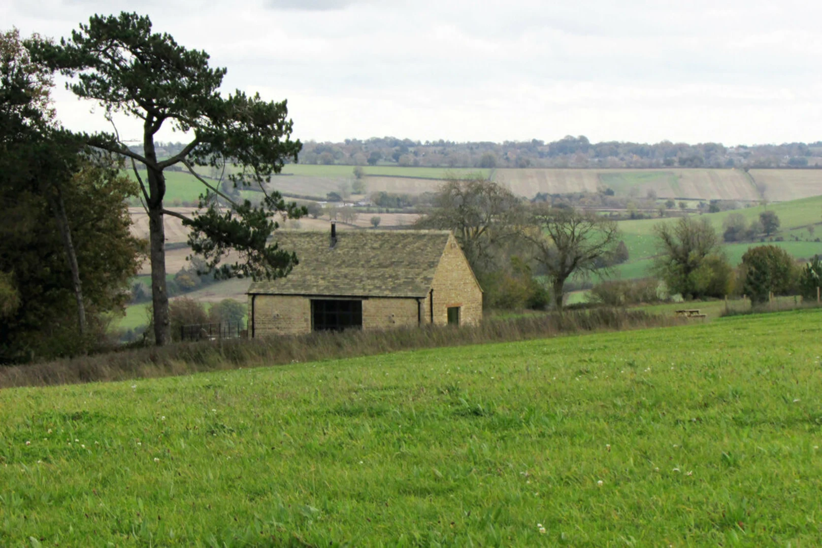
Starting near the charming village of Brailes in Warwickshire, England, the Brailes Hill Loop is a delightful 7 km (approximately 4.3 miles) trail that offers a moderate challenge with an elevation gain of around 100 meters (328 feet). This loop trail is perfect for those looking to experience the quintessential English countryside, complete with rolling hills, picturesque landscapes, and a touch of historical intrigue.### Getting There To reach the trailhead, you can drive or use public transport. If driving, set your GPS to Brailes, Warwickshire. There is limited parking available near the village center. For those using public transport, the nearest major town is Banbury, which is well-connected by train. From Banbury, you can take a local bus or taxi to Brailes.### Trail Overview The trail begins near the village center, where you can find the historic St. George's Church, a beautiful 12th-century building worth a quick visit before you start your hike. As you set off, the path takes you through a mix of open fields and wooded areas, offering a variety of scenery to enjoy.### Key Landmarks and Points of Interest - St. George's Church (0 km / 0 miles): Starting point with historical significance. - Brailes Hill (2 km / 1.2 miles): The highest point on the trail, offering panoramic views of the surrounding countryside. The climb is gradual but steady, making it a good workout without being overly strenuous. - Cotswold Stone Walls (3 km / 1.9 miles): As you descend from Brailes Hill, you'll pass by traditional Cotswold stone walls, which are characteristic of the region and add a touch of rustic charm to your hike. - Wildlife Spotting (4 km / 2.5 miles): Keep an eye out for local wildlife, including deer, foxes, and a variety of bird species. The area is particularly known for its vibrant birdlife, so bringing a pair of binoculars could enhance your experience. - Historic Farmlands (5 km / 3.1 miles): The trail meanders through farmlands that have been cultivated for centuries. Some of these farms date back to medieval times, adding a layer of historical depth to your journey.### Navigation and Safety The trail is well-marked, but it's always a good idea to have a reliable navigation tool. HiiKER is an excellent app for this purpose, providing detailed maps and real-time tracking to ensure you stay on course. The terrain is generally well-maintained, but can be muddy after rain, so waterproof hiking boots are recommended.### Flora and Fauna The Brailes Hill Loop is a haven for nature enthusiasts. In spring and summer, the fields are awash with wildflowers, including bluebells and poppies. The wooded sections are home to ancient oak and beech trees, providing ample shade and a sense of tranquility.### Historical Significance The region around Brailes has a rich history, with evidence of human settlement dating back to the Iron Age. The village itself has a long history, with many of its buildings reflecting traditional English architecture. As you hike, you'll be walking through landscapes that have been shaped by centuries of agricultural practices and historical events.### Final Stretch As you near the end of the loop, the trail brings you back into the village of Brailes. This is a great opportunity to explore the local pubs and cafes, where you can enjoy a well-deserved meal or refreshment. The George Inn, located near the trailhead, is a popular choice among hikers for its cozy atmosphere and delicious food.This trail offers a perfect blend of natural beauty, historical interest, and moderate physical challenge, making it an ideal choice for a day hike in the English countryside.

What to expect?
Activity types
Comments and Reviews
User comments, reviews and discussions about the Brailes Hill Loop, England.
4.5
average rating out of 5
6 rating(s)