Download
Preview
Add to list
More
2.6 km
~35 min
39 m
Loop
“The Limpsfield Chart Loop is a serene, accessible woodland trail rich in history and natural beauty.”
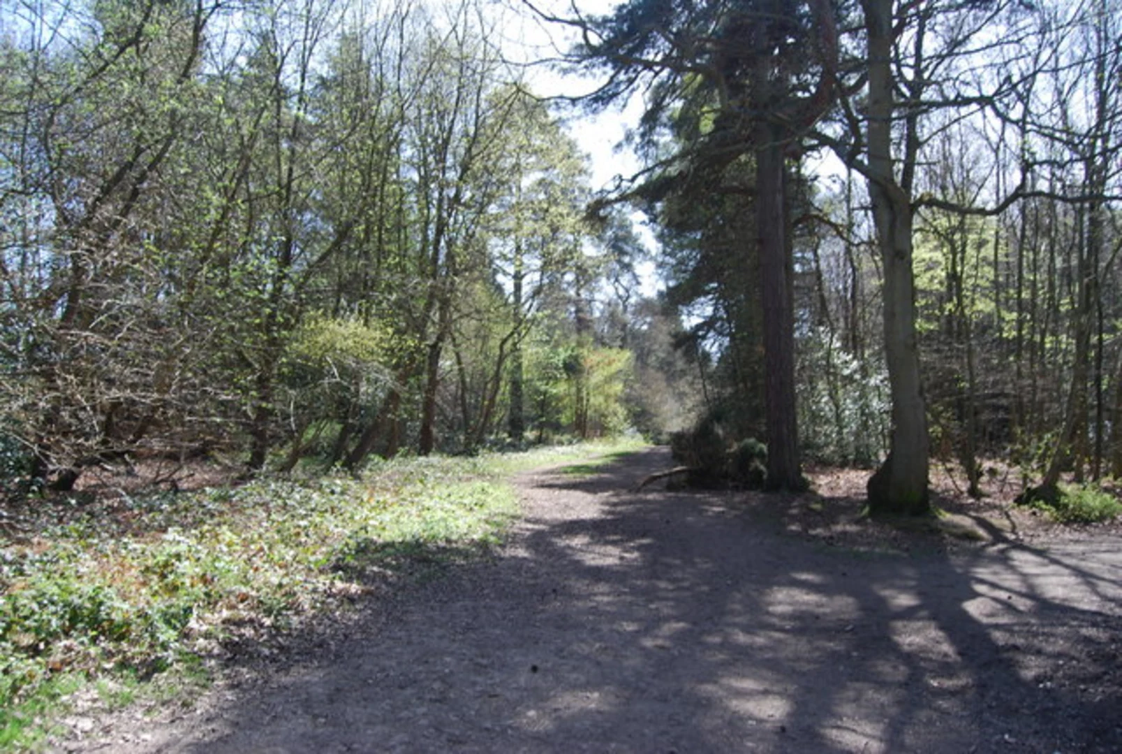
Starting near Surrey, England, the Limpsfield Chart Loop is a delightful 3 km (approximately 1.86 miles) trail with no significant elevation gain, making it accessible for a wide range of hikers. The trailhead is conveniently located near the Limpsfield Chart Golf Club, which serves as a recognizable landmark for those driving or using public transport.### Getting There For those traveling by car, the trailhead is easily accessible from the A25 road. Parking is available near the golf club, but it can fill up quickly on weekends and holidays. If you prefer public transport, the nearest train station is Oxted, which is about 3.2 km (2 miles) away. From Oxted, you can take a local bus or a taxi to reach the trailhead.### Trail Navigation The Limpsfield Chart Loop is well-marked, but it's always a good idea to have a reliable navigation tool like HiiKER to ensure you stay on track. The loop is relatively straightforward, with clear signposts at key junctions.### Points of Interest As you embark on the trail, you'll find yourself immersed in a serene woodland setting. The area is part of the Limpsfield Chart, a historic common land that has been preserved for public enjoyment. The trail meanders through ancient woodlands, offering a peaceful escape from urban life.#### Flora and Fauna The woodlands are home to a variety of native trees, including oak, beech, and chestnut. In the spring and summer months, the forest floor is carpeted with bluebells and other wildflowers, creating a picturesque landscape. Birdwatchers will be delighted by the presence of species such as woodpeckers, nuthatches, and various types of tits.#### Historical Significance The Limpsfield Chart area has a rich history dating back to medieval times. The common land was traditionally used for grazing livestock and collecting firewood. Today, it remains a cherished natural space for the local community. Along the trail, you may come across remnants of old boundary markers and ancient trees that have stood the test of time.### Trail Experience The loop is rated as medium difficulty, primarily due to some uneven terrain and occasional muddy patches, especially after rain. Good walking shoes are recommended. The trail is family-friendly and suitable for dogs, but be mindful of keeping them on a leash to protect the local wildlife.### Final Stretch As you near the end of the loop, you'll pass by the Limpsfield Chart Cricket Club, another local landmark. This is a great spot to take a break and enjoy a picnic while watching a game if one is in progress. The final stretch of the trail brings you back to the starting point near the golf club, completing your tranquil journey through this historic and beautiful woodland.

What to expect?
Activity types
Comments and Reviews
User comments, reviews and discussions about the Limpsfield Chart Loop, England.
4.33
average rating out of 5
3 rating(s)