Download
Preview
Add to list
More
6.6 km
~1 hrs 22 min
38 m
Loop
“Explore the scenic, historical, and wildlife-rich Buss Creek and River Blyth trail in charming Walberswick.”
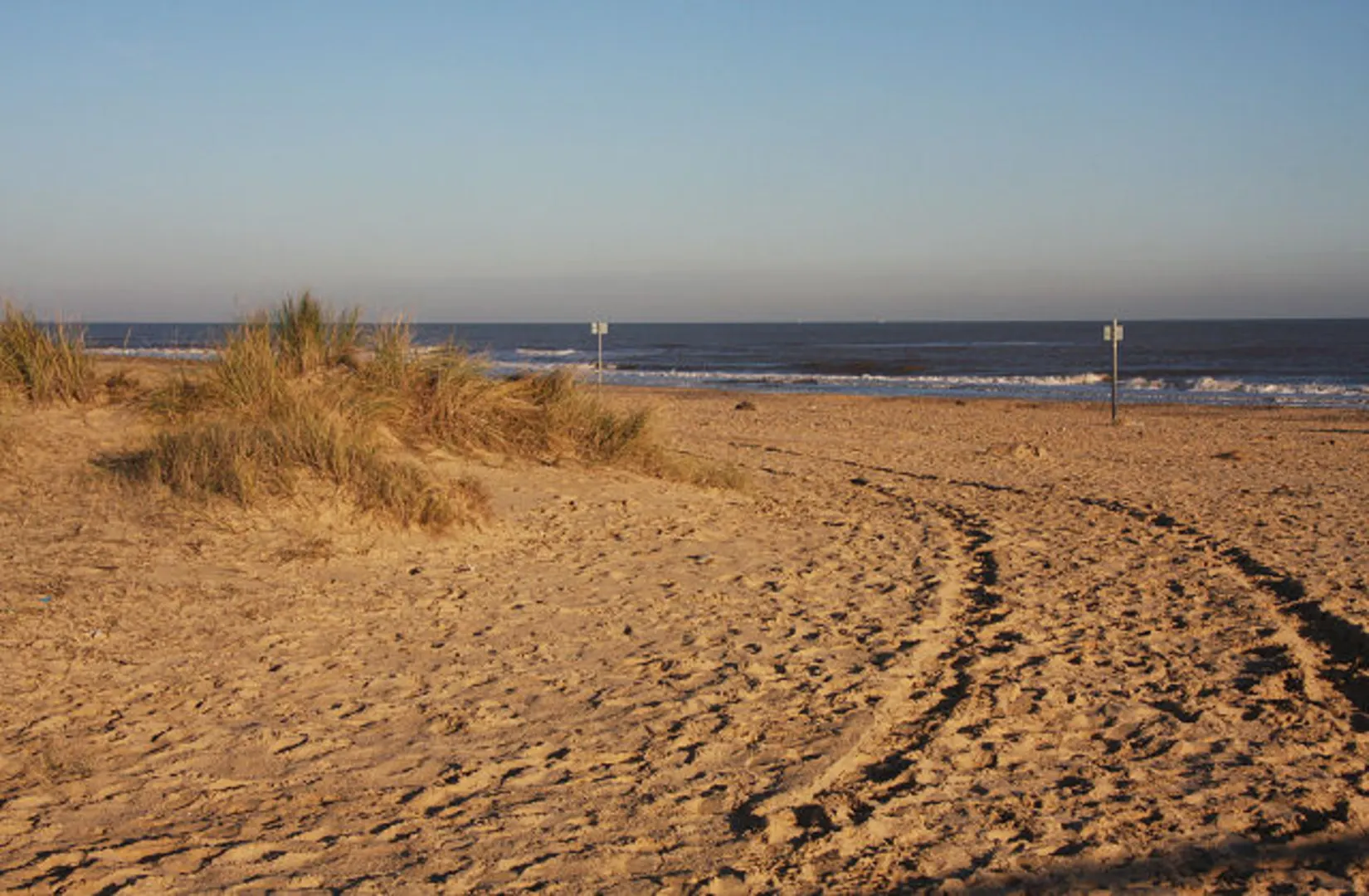
Starting near the charming village of Walberswick in Suffolk, England, the Buss Creek and River Blyth trail offers a delightful 7 km (approximately 4.3 miles) loop with virtually no elevation gain, making it accessible for most hikers. The trailhead is conveniently located near the Walberswick Village Car Park, which is easily accessible by car. For those using public transport, the nearest train station is in Darsham, about 8 km (5 miles) away, with local bus services connecting to Walberswick.### Trail OverviewThe trail meanders through a picturesque landscape, beginning with a stroll along the banks of Buss Creek. This serene waterway is a haven for birdwatchers, with species such as herons, kingfishers, and various waterfowl frequently spotted. As you continue, the path transitions into the marshlands, where the flat terrain allows for easy walking and ample opportunities to observe the diverse flora and fauna.### Historical SignificanceWalberswick itself is steeped in history, once a thriving port in the medieval period. The remnants of its past can be seen in the ruins of St. Andrew's Church, which you will pass early in your hike. This 15th-century structure, though now in ruins, offers a glimpse into the village's storied past. The area was also a popular haunt for artists in the early 20th century, adding a layer of cultural significance to your journey.### Key Landmarks and Points of Interest- Walberswick Beach: About 1 km (0.6 miles) into the hike, you’ll reach the sandy shores of Walberswick Beach. This is a perfect spot for a brief rest, offering stunning views of the North Sea and the chance to dip your toes in the water. - River Blyth: As you loop back towards the village, the trail follows the River Blyth. This section is particularly scenic, with the river winding through lush meadows and reed beds. Keep an eye out for otters and other wildlife that inhabit the riverbanks. - Southwold Harbour: Approximately 5 km (3.1 miles) into the hike, you’ll come across Southwold Harbour. This bustling area is a great place to observe local fishermen at work and perhaps enjoy some freshly caught seafood from one of the harbour’s eateries.### Navigation and SafetyGiven the flat terrain and well-marked paths, navigation is straightforward. However, it’s always wise to have a reliable navigation tool like HiiKER to ensure you stay on track. The trail can be muddy in sections, especially after rain, so waterproof footwear is recommended. Additionally, while the trail is generally safe, always be mindful of the tides when near the river and beach areas.### Getting ThereFor those driving, the Walberswick Village Car Park is the most convenient starting point. If you’re relying on public transport, take a train to Darsham Station and then a local bus or taxi to Walberswick. The village is well-signposted, and the car park is located near the village center, making it easy to find.This trail offers a blend of natural beauty, historical intrigue, and cultural richness, making it a rewarding experience for any hiker.

What to expect?
Activity types
Comments and Reviews
User comments, reviews and discussions about the Buss Creek and River Blyth, England.
4.33
average rating out of 5
3 rating(s)