Download
Preview
Add to list
More
10.3 km
~2 hrs 22 min
180 m
Loop
“Explore Somerset's Mendip Hills on a captivating 10 km trail featuring Beacon Batch and WWII history.”
Starting your hike near Somerset, England, the Beacon Batch and Wireless Station trail offers a captivating 10 km (6.2 miles) loop with an elevation gain of approximately 100 meters (328 feet). This medium-difficulty trail is perfect for those looking to explore the Mendip Hills Area of Outstanding Natural Beauty.### Getting There To reach the trailhead, you can drive or use public transport. If driving, set your GPS to Burrington Combe, a well-known limestone gorge near the village of Burrington. There is a car park available at the base of the gorge. For public transport, the nearest train station is in Weston-super-Mare. From there, you can take a bus to Burrington Combe, which is a short walk from the trailhead.### Trail Overview The trail begins with a gentle ascent through Burrington Combe, a dramatic limestone gorge that sets the tone for the hike. As you climb, you'll pass through a mix of open moorland and wooded areas, offering a variety of landscapes and habitats.### Significant Landmarks
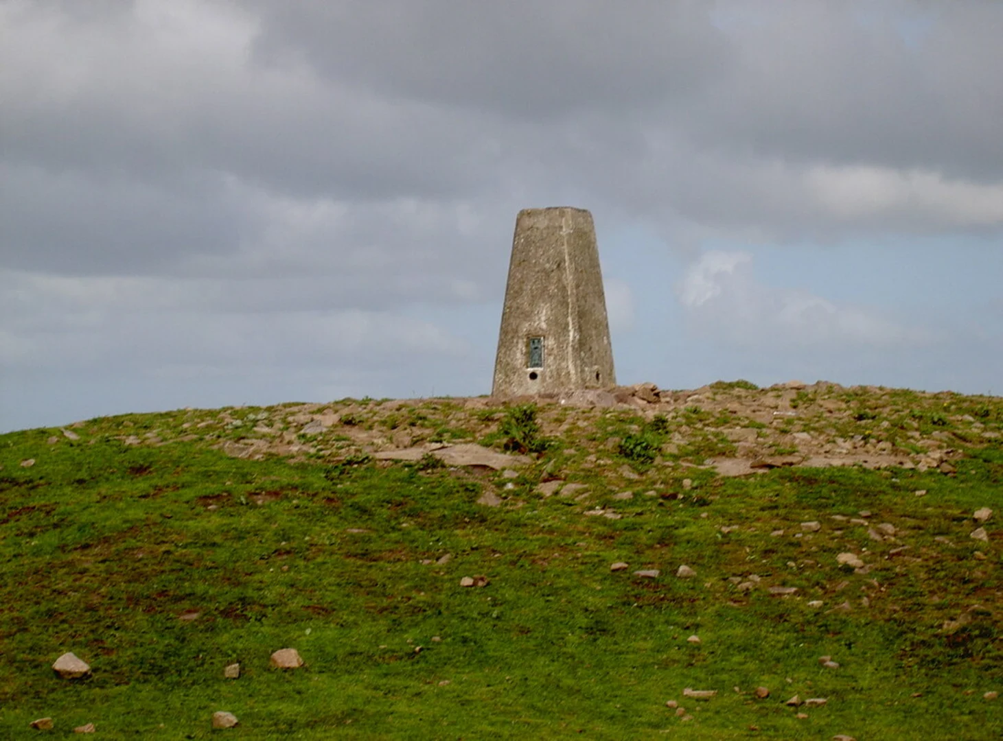
Beacon Batch
At approximately 3 km (1.9 miles) into the hike, you'll reach Beacon Batch, the highest point on the Mendip Hills at 325 meters (1,066 feet) above sea level. This Bronze Age burial mound offers panoramic views of the surrounding countryside, including the Bristol Channel and the Welsh coast on a clear day. It's a perfect spot for a short break and some photography.#### Wireless Station Continuing on, around the 5 km (3.1 miles) mark, you'll come across the remnants of a World War II wireless station. This historical site was part of a network used for intercepting enemy communications. Although only the foundations remain, it's a poignant reminder of the area's strategic importance during the war.### Flora and Fauna The trail is rich in biodiversity. In the spring and summer months, the moorland is adorned with wildflowers such as heather and gorse. Keep an eye out for local wildlife, including deer, badgers, and a variety of bird species like skylarks and kestrels. The wooded sections are home to ancient oak and beech trees, providing a lush canopy and a habitat for woodland creatures.### Navigation and Safety The trail is well-marked, but it's always wise to carry a reliable navigation tool. The HiiKER app is highly recommended for its detailed maps and real-time GPS tracking. Wear sturdy hiking boots, as the terrain can be uneven and muddy, especially after rain. Bring sufficient water and snacks, as there are no facilities along the trail.### Final Stretch The final 2 km (1.2 miles) of the loop take you through more open moorland before descending back into Burrington Combe. The descent offers a different perspective of the gorge, with its towering limestone cliffs and unique rock formations.This trail offers a blend of natural beauty, historical intrigue, and moderate physical challenge, making it a rewarding experience for any hiker.

What to expect?
Activity types
Comments and Reviews
User comments, reviews and discussions about the Beacon Batch and Wireless Station, England.
4.5
average rating out of 5
4 rating(s)