Download
Preview
Add to list
More
17.3 km
~4 hrs 16 min
483 m
Loop
“Discover the enchanting Tarnbrook and Ward's Stone Loop, a 17 km journey through Lancashire's stunning landscapes and rich history.”
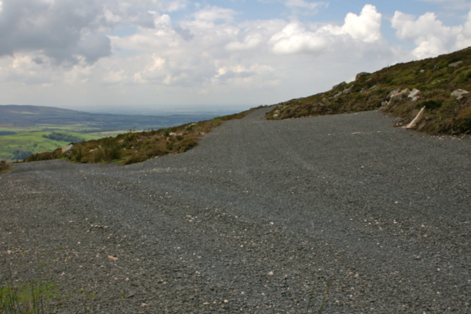
Starting near the picturesque village of Tarnbrook in Lancashire, England, the Tarnbrook and Ward's Stone Loop is a captivating 17 km (approximately 10.5 miles) loop trail that offers a moderate challenge with an elevation gain of around 400 meters (about 1,312 feet). This trail is perfect for those looking to immerse themselves in the natural beauty and historical richness of the area.### Getting ThereTo reach the trailhead, you can drive or use public transport. If driving, head towards Tarnbrook, which is accessible via the M6 motorway. Exit at Junction 33 and follow signs for Abbeystead and Tarnbrook. There is limited parking available near the village, so arriving early is advisable.For those using public transport, the nearest major town is Lancaster. From Lancaster, you can take a bus to Abbeystead and then either walk or arrange a taxi for the short journey to Tarnbrook.### Trail OverviewThe trail begins in Tarnbrook, a quaint village known for its traditional stone cottages and serene atmosphere. As you set off, you'll be greeted by rolling hills and lush meadows, typical of the Lancashire countryside. The initial part of the trail is relatively flat, allowing you to ease into the hike.### Significant Landmarks and Points of Interest#### Tarnbrook WyreAround 3 km (1.9 miles) into the hike, you'll encounter the Tarnbrook Wyre, a charming river that meanders through the landscape. This is a great spot to take a short break and enjoy the tranquil surroundings.#### Ward's StoneContinuing on, the trail begins to ascend towards Ward's Stone, the highest point in the Forest of Bowland at 561 meters (1,841 feet). This section of the trail is more challenging, with a steady climb that will test your endurance. However, the effort is well worth it, as the summit offers panoramic views of the surrounding moorlands and, on a clear day, you can even see as far as the Lake District and the Yorkshire Dales.#### Historical SignificanceWard's Stone has historical significance, as it was once a boundary marker in medieval times. The stone itself is a large gritstone outcrop, and its name is believed to derive from its use as a "ward" or lookout point.### Flora and FaunaThe trail is rich in biodiversity. As you hike, keep an eye out for various bird species such as curlews, lapwings, and skylarks. The moorlands are also home to red grouse and, if you're lucky, you might spot a hen harrier. The flora is equally diverse, with heather, bilberry, and cotton grass dominating the landscape.### Navigation and SafetyGiven the remote nature of parts of the trail, it's essential to be well-prepared. The trail is well-marked, but carrying a reliable navigation tool like HiiKER is recommended to ensure you stay on track. Weather conditions can change rapidly, so bring appropriate clothing and gear. ### Final StretchThe descent from Ward's Stone takes you through more moorland and eventually back into the lush valleys. The final 5 km (3.1 miles) of the trail are relatively gentle, allowing you to enjoy the scenery as you make your way back to Tarnbrook.### Practical Tips- Water and Snacks: Ensure you carry enough water and snacks, as there are no facilities along the trail. - Footwear: Sturdy hiking boots are recommended due to uneven terrain and potential boggy sections. - Weather: Check the weather forecast before setting out and be prepared for sudden changes.This trail offers a perfect blend of natural beauty, historical intrigue, and a moderate physical challenge, making it a rewarding experience for any hiker.

What to expect?
Activity types
Comments and Reviews
User comments, reviews and discussions about the Tarnbrook and Ward's Stone Loop, England.
average rating out of 5
0 rating(s)