Download
Preview
Add to list
More
27.6 km
~1 day 1 hrs
564 m
Point-to-Point
“Embark on a 28 km hike through Kent's stunning landscapes, rich history, and diverse wildlife.”
Starting near Kent, England, this 28 km (approximately 17.4 miles) point-to-point trail offers a medium difficulty hike with an elevation gain of around 500 meters (approximately 1,640 feet). The trailhead is accessible by both public transport and car. If you're driving, you can park at Trosley Country Park, which is well-signposted from the A227. For those using public transport, the nearest train station is Meopham, from where you can take a local bus or taxi to the park.
Trail Overview
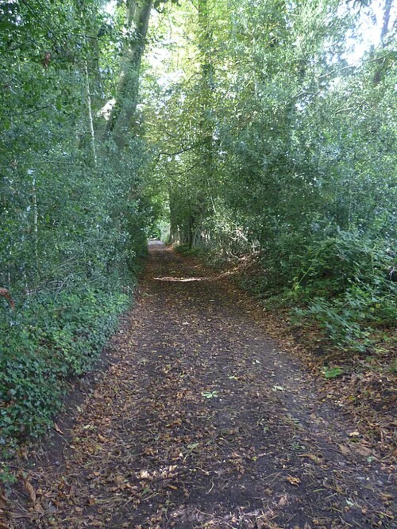
The trail begins at Trosley Country Park, a beautiful area known for its ancient woodlands and chalk grasslands. As you start your hike, you'll be greeted by a variety of flora and fauna. Keep an eye out for wildflowers like orchids and cowslips, especially in the spring and early summer. The park is also home to a variety of bird species, including woodpeckers and nuthatches.
Key Landmarks and Sections
1. Trosley Country Park to Vigo Village (0-5 km / 0-3.1 miles) The initial section of the trail takes you through the heart of Trosley Country Park. The terrain here is relatively gentle, making it a good warm-up for the more challenging sections ahead. You'll pass through dense woodlands and open meadows, offering a mix of shaded and sunny areas. The elevation gain in this section is minimal, around 50 meters (164 feet).
2. Vigo Village to Luddesdown (5-12 km / 3.1-7.5 miles) As you leave Vigo Village, the trail starts to ascend more steeply. This section offers panoramic views of the Kent Downs, an Area of Outstanding Natural Beauty. The elevation gain here is more significant, around 200 meters (656 feet). You'll also pass by Luddesdown, a small village with historical significance dating back to the Domesday Book. Take a moment to visit the 12th-century St. Peter and St. Paul's Church.
3. Luddesdown to Cuxton (12-20 km / 7.5-12.4 miles) This middle section is perhaps the most challenging part of the hike, with a mix of steep ascents and descents. The trail meanders through a series of woodlands and open fields, offering a variety of landscapes. The elevation gain in this section is around 150 meters (492 feet). Cuxton, your next waypoint, is a charming village on the banks of the River Medway. Here, you can take a short detour to visit the Cuxton Marina or the historic St. Michael and All Angels Church.
4. Cuxton to Medway River (20-28 km / 12.4-17.4 miles) The final section of the trail follows the River Medway, offering a more relaxed and scenic end to your hike. The terrain here is relatively flat, with an elevation gain of around 100 meters (328 feet). You'll walk along the riverbanks, passing through marshlands and small woodlands. This area is rich in wildlife, so keep your eyes peeled for kingfishers, herons, and even the occasional otter.
Navigation and Safety
Given the length and varied terrain of this trail, it's advisable to use a reliable navigation tool like HiiKER to keep track of your progress and ensure you stay on the right path. The trail is well-marked, but having a digital map can be invaluable, especially in the more remote sections.
Historical Significance
The region around the trail is steeped in history. From the ancient woodlands of Trosley Country Park to the historic villages of Luddesdown and Cuxton, you'll be walking through areas that have been inhabited for centuries. The River Medway itself has been a crucial waterway since Roman times, and you'll find remnants of this rich history along the way.
Whether you're a seasoned hiker or someone looking to explore the natural beauty and historical richness of Kent, this trail offers a rewarding experience.

What to expect?
Activity types
Comments and Reviews
User comments, reviews and discussions about the Trosley Country Park and River Medway, England.
4.5
average rating out of 5
4 rating(s)