Download
Preview
Add to list
More
3.7 km
~48 min
46 m
Point-to-Point
“A scenic 4 km hike through Kent's countryside, blending history, nature, and charming villages.”
Starting near the Bat and Ball Station in Kent, England, this 4 km (approximately 2.5 miles) point-to-point trail offers a delightful journey through the picturesque English countryside. With no significant elevation gain, this trail is accessible to a wide range of hikers, though it is rated as medium difficulty due to some uneven terrain and potentially muddy sections.
Getting There To reach the trailhead, you can take a train to Bat and Ball Station, which is well-connected via the Southeastern Railway network. If you're driving, there is parking available near the station, but spaces can be limited, so arriving early is advisable.
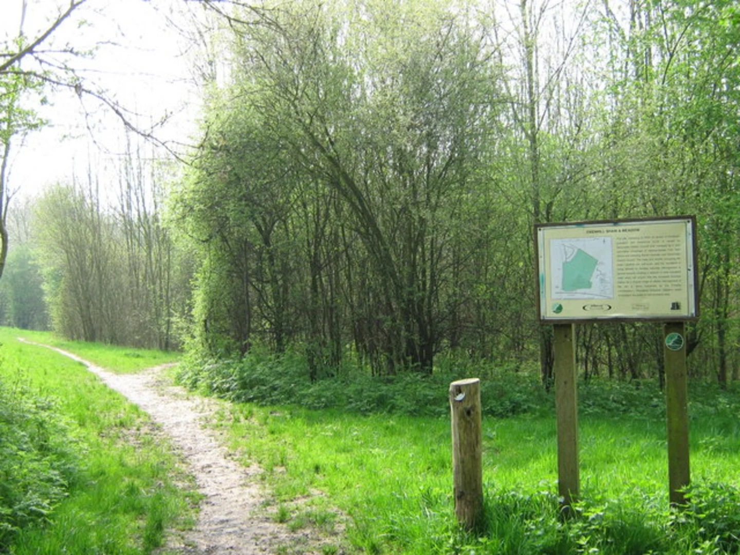
Trail Overview The trail begins near Bat and Ball Station, located at the intersection of Otford Road and St. John's Hill. From here, you'll head south, quickly leaving the urban environment behind as you enter the serene countryside. The path is well-marked, but it's always a good idea to have a navigation tool like HiiKER to ensure you stay on track.
Points of Interest As you progress, you'll pass through a variety of landscapes, including open fields, woodlands, and charming rural villages. About 1 km (0.6 miles) into the hike, you'll come across the historic St. Bartholomew's Church in Otford, a beautiful example of medieval architecture that dates back to the 11th century. This is a great spot to take a short break and appreciate the historical significance of the area.
Continuing on, you'll traverse the Darent Valley, known for its lush greenery and diverse wildlife. Keep an eye out for local fauna such as deer, foxes, and a variety of bird species. The valley is also home to several ancient trees, some of which are over 500 years old.
Navigating the Trail The trail is relatively flat, with an elevation gain of around 0 meters, making it a comfortable walk for most hikers. However, the path can become muddy, especially after rain, so waterproof footwear is recommended. The trail is well-signposted, but using HiiKER can provide additional reassurance and help you navigate any tricky sections.
Final Stretch As you approach the end of the trail, you'll enter the village of Otford. Here, you can explore the Otford Palace, a former Archbishop's palace with a rich history dating back to the 16th century. The village itself is quaint and offers several options for refreshments, including traditional English pubs and tea rooms.
The trail concludes near Otford Station, where you can catch a train back to your starting point or continue your journey. The station is located at the junction of Station Road and Pilgrims Way East, making it easy to find.
This hike offers a perfect blend of natural beauty, historical landmarks, and the charm of rural England, making it a rewarding experience for any hiker.

What to expect?
Activity types
Comments and Reviews
User comments, reviews and discussions about the Bat and Ball Station to Otford Walk, England.
average rating out of 5
0 rating(s)