Download
Preview
Add to list
More
14.4 km
~3 hrs 23 min
311 m
Loop
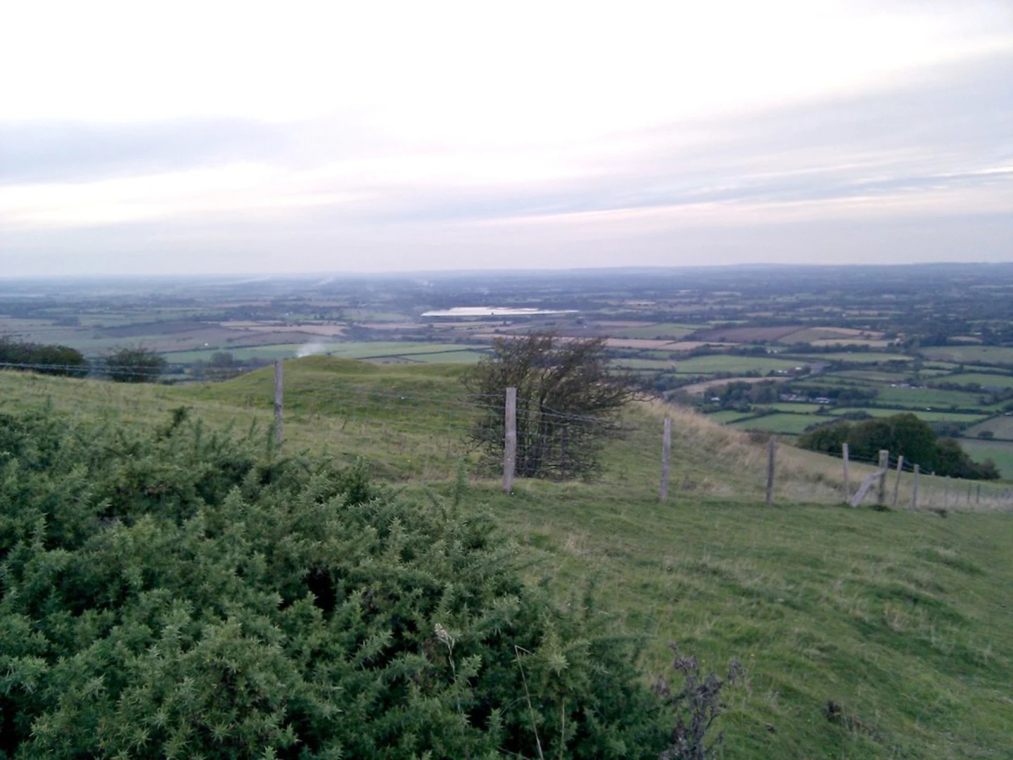
“Embark on the captivating 14 km Lullington Heath NNR Loop for stunning views, rare wildlife, and historical landmarks.”
Starting near East Sussex, England, the Lullington Heath NNR Loop is a captivating 14 km (approximately 8.7 miles) trail with an elevation gain of around 300 meters (984 feet). This loop trail is rated as medium difficulty, making it suitable for moderately experienced hikers.
Getting There To reach the trailhead, you can drive or use public transport. If driving, set your GPS to the nearest known address: Lullington Heath National Nature Reserve, East Sussex. For those using public transport, the nearest train station is in Eastbourne. From Eastbourne, you can take a local bus to the village of Litlington, which is a short walk from the trailhead.
Trail Overview The trail begins near the Lullington Heath National Nature Reserve, a unique chalk heathland that is one of the rarest habitats in Britain. As you start your hike, you'll be greeted by expansive views of the South Downs and the English Channel.
Key Sections and Landmarks - **0-3 km (0-1.9 miles):** The initial section of the trail takes you through open heathland, where you can spot a variety of wildflowers, especially in the spring and summer months. Keep an eye out for the rare silver-spotted skipper butterfly, which is native to this area. - **3-6 km (1.9-3.7 miles):** As you continue, the trail ascends gently, offering panoramic views of the surrounding countryside. This section is relatively exposed, so be prepared for varying weather conditions. The elevation gain here is gradual, making it a good warm-up for the more challenging parts ahead.
- 6-9 km (3.7-5.6 miles): This middle section takes you through a mix of woodland and open fields. The terrain becomes more undulating, with a few steeper inclines. Look out for the ancient chalk pits, remnants of historical quarrying activities that date back to Roman times.
- 9-12 km (5.6-7.5 miles): As you approach the latter part of the loop, you'll pass by the historic village of Alfriston. This picturesque village is worth a short detour to explore its medieval architecture and the 14th-century St. Andrew's Church, known as the "Cathedral of the Downs."
- 12-14 km (7.5-8.7 miles): The final stretch of the trail brings you back to the heathland, completing the loop. This section is relatively flat, allowing you to cool down and enjoy the last views of the South Downs.
Wildlife and Flora Lullington Heath is a haven for wildlife enthusiasts. The heathland supports a variety of bird species, including skylarks and nightjars. The diverse plant life includes rare orchids and the nationally scarce round-headed rampion, also known as the "Pride of Sussex."
Navigation For navigation, it is highly recommended to use the HiiKER app, which provides detailed maps and real-time updates. This will help you stay on track and ensure you don't miss any of the trail's highlights.
Historical Significance The area around Lullington Heath is steeped in history. The chalk pits you encounter are a testament to the region's industrial past, while the nearby village of Alfriston offers a glimpse into medieval England. The South Downs themselves have been inhabited since prehistoric times, with numerous archaeological sites scattered throughout the landscape.
Preparation Tips Given the medium difficulty rating, ensure you wear sturdy hiking boots and bring sufficient water and snacks. Weather can be unpredictable, so pack layers and a waterproof jacket. The trail is well-marked, but having a navigation tool like HiiKER will enhance your hiking experience.
Embark on this trail to experience the natural beauty and historical richness of East Sussex, all while enjoying a moderately challenging hike.

What to expect?
Activity types
Comments and Reviews
User comments, reviews and discussions about the Lullington Heath NNR Loop, England.
4.0
average rating out of 5
1 rating(s)