Download
Preview
Add to list
More
22.3 km
~4 hrs 30 min
27 m
Point-to-Point
“The Thorne to Gunness Walk offers a scenic, flat hike rich in history and natural beauty.”
Starting near Doncaster, England, the Thorne to Gunness Walk spans approximately 22 kilometers (around 13.7 miles) with virtually no elevation gain, making it a relatively flat and accessible hike. This point-to-point trail is estimated to be of medium difficulty, suitable for hikers with a moderate level of fitness.
Getting There To reach the trailhead, you can either drive or use public transport. If driving, head towards Thorne, which is easily accessible via the M18 motorway. For those using public transport, Thorne has two railway stations: Thorne North and Thorne South, both of which are serviced by trains from Doncaster. From either station, it's a short walk to the start of the trail.
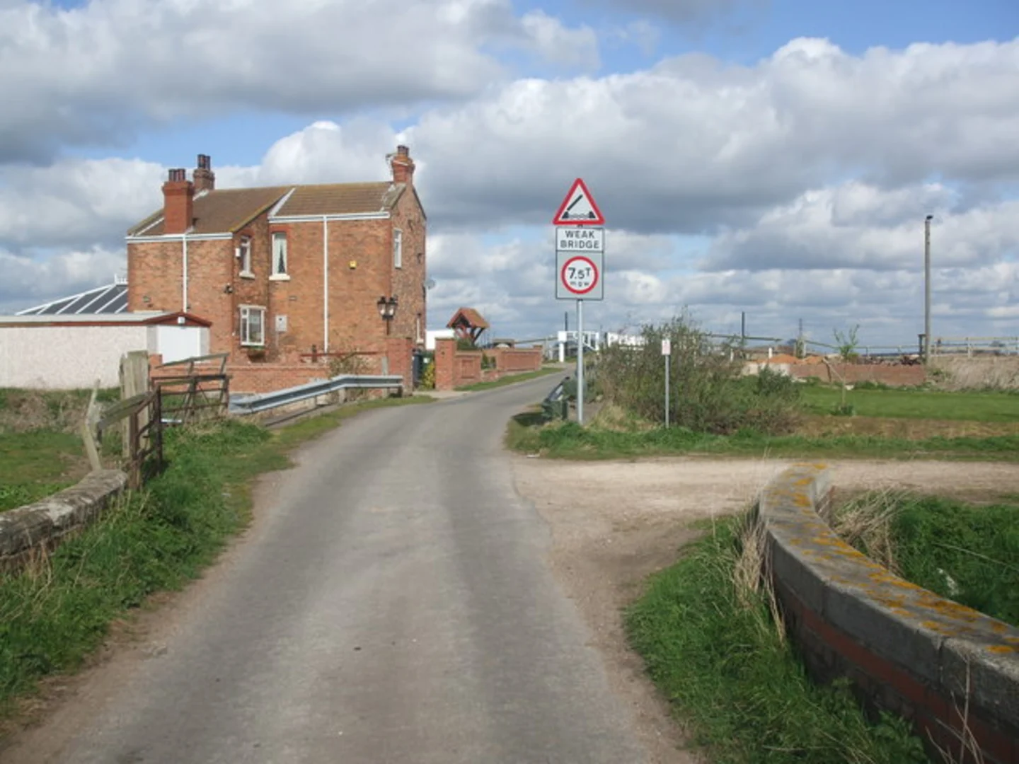
Trail Overview The trail begins in Thorne, a market town with a rich history dating back to the Domesday Book. As you set off, you'll traverse through a mix of rural landscapes, including farmland, meadows, and small woodlands. The flat terrain makes it an enjoyable walk, allowing you to take in the scenery without the strain of steep climbs.
Key Landmarks and Sections
#### Thorne Moors Approximately 5 kilometers (3.1 miles) into the hike, you'll encounter Thorne Moors, part of the Humberhead Peatlands National Nature Reserve. This area is a haven for birdwatchers, with species such as the nightjar and the marsh harrier frequently spotted. The moors are also home to a variety of plant life, including rare orchids and sundews.
#### Stainforth and Keadby Canal Around the 10-kilometer (6.2 miles) mark, the trail intersects with the Stainforth and Keadby Canal. This canal, constructed in the early 19th century, played a significant role in the industrial development of the region. Walking along the towpath, you'll see remnants of the area's industrial past, including old warehouses and locks.
#### Crowle At approximately 15 kilometers (9.3 miles), you'll pass through the village of Crowle. This quaint village offers a perfect spot for a rest. Crowle has a few local shops and cafes where you can refuel. The village itself has historical significance, with its roots tracing back to the Anglo-Saxon period.
Wildlife and Nature The trail is rich in wildlife, particularly in the wetland areas. Keep an eye out for waterfowl such as herons and kingfishers along the canals and rivers. The flat, open fields are also home to various species of butterflies and insects, making it a delightful walk for nature enthusiasts.
Navigation Given the length and the rural nature of the trail, it's advisable to use a reliable navigation tool like HiiKER to ensure you stay on track. The app provides detailed maps and real-time updates, which can be particularly useful in the more remote sections of the hike.
Final Stretch to Gunness The final section of the trail leads you towards Gunness, a small village near Scunthorpe. As you approach Gunness, the landscape becomes more industrial, reflecting the area's history in steel production. The trail concludes near the River Trent, offering a peaceful end to your journey.
Historical Significance The entire region is steeped in history, from the ancient peatlands of Thorne Moors to the industrial heritage along the canals. The trail offers a unique blend of natural beauty and historical intrigue, making it a rewarding experience for both nature lovers and history buffs.
Whether you're looking to enjoy a day out in nature or delve into the rich history of the region, the Thorne to Gunness Walk provides a diverse and engaging hiking experience.

What to expect?
Activity types
Comments and Reviews
User comments, reviews and discussions about the Thorne to Gunness Walk, England.
average rating out of 5
0 rating(s)