Download
Preview
Add to list
More
7.8 km
~2 hrs 12 min
390 m
Out and Back
“Embark on the Lose Hill via Mam Tor Circular Walk for stunning vistas, rich history, and diverse wildlife.”
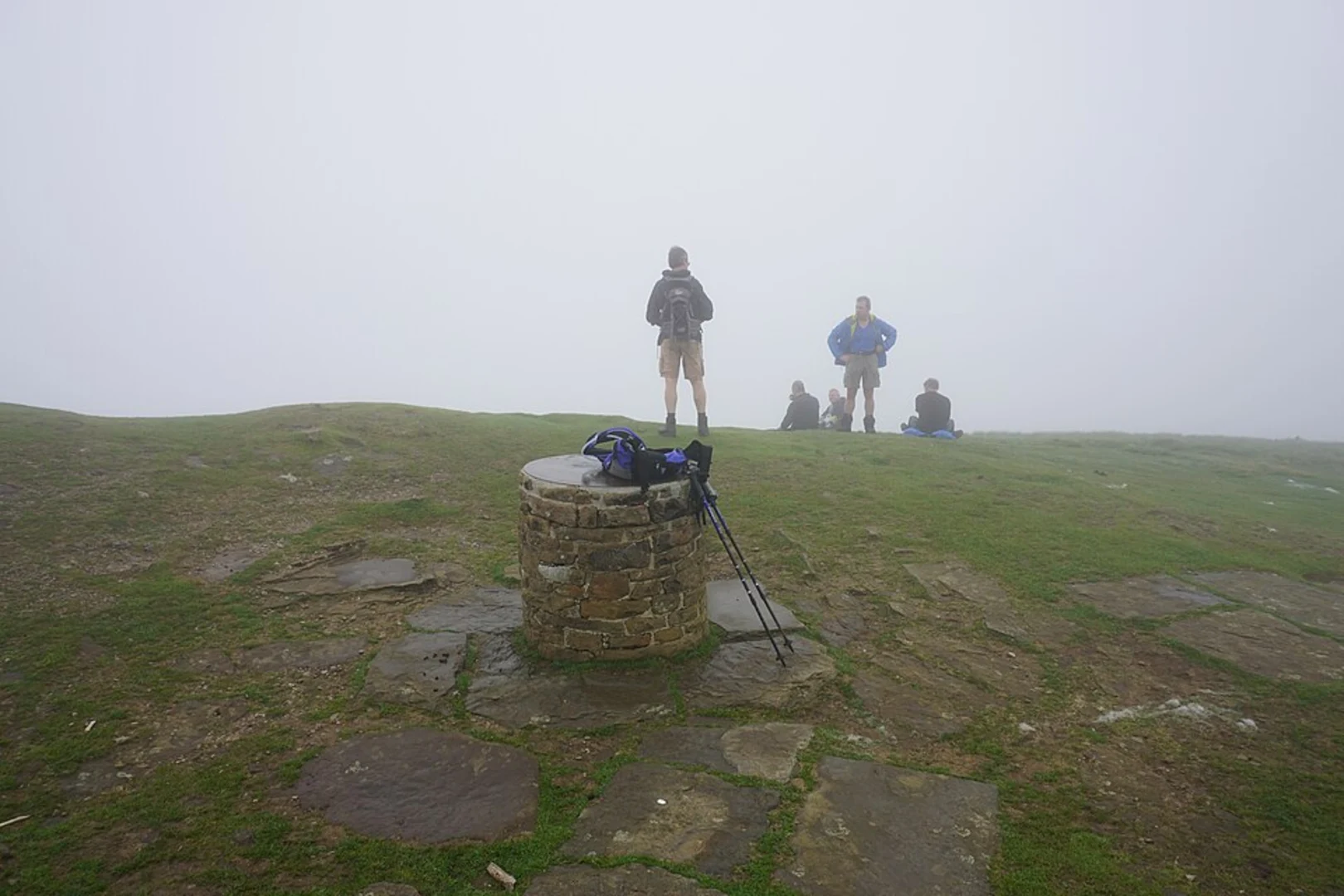
Starting near the charming village of Castleton in Derbyshire, England, the Lose Hill via Mam Tor Circular Walk is a captivating 8 km (5 miles) journey through the heart of the Peak District. With an elevation gain of approximately 300 meters (984 feet), this medium-difficulty trail offers a blend of historical intrigue, stunning landscapes, and diverse wildlife.### Getting ThereTo reach the trailhead, you can drive to Castleton, where parking is available at the Castleton Visitor Centre. For those using public transport, the nearest train station is Hope Station, approximately 2 miles (3.2 km) from Castleton. From Hope Station, you can take a local bus or a taxi to the village.### The Ascent to Mam TorStarting from Castleton, the trail initially takes you through the picturesque village, passing by quaint stone cottages and the historic Peveril Castle, which dates back to the 11th century. As you leave the village, the path begins to ascend towards Mam Tor, also known as the "Shivering Mountain" due to its frequent landslides.The climb to Mam Tor is gradual but steady, with the first significant elevation gain of around 150 meters (492 feet) occurring over the initial 2 km (1.2 miles). Along the way, you'll be treated to panoramic views of the Hope Valley and the surrounding hills. The summit of Mam Tor, standing at 517 meters (1,696 feet), offers a breathtaking 360-degree vista, making it a perfect spot for a short rest and some photography.### Ridge Walk to Lose HillFrom Mam Tor, the trail continues along the Great Ridge, a well-defined path that connects Mam Tor to Lose Hill. This section of the hike is relatively flat, with gentle undulations and an elevation gain of about 100 meters (328 feet) over the next 3 km (1.9 miles). The ridge walk is one of the highlights of the trail, offering uninterrupted views of the Edale Valley to the north and the Hope Valley to the south.As you make your way towards Lose Hill, keep an eye out for the diverse flora and fauna that inhabit the area. The Peak District is home to a variety of bird species, including skylarks and red grouse, as well as wildflowers like heather and bilberry.### Descending Back to CastletonUpon reaching the summit of Lose Hill, which stands at 476 meters (1,562 feet), you'll be rewarded with another set of stunning views. The descent back to Castleton is a gentle 3 km (1.9 miles) downhill walk, passing through open fields and pastures. This section of the trail is less strenuous, allowing you to enjoy the serene countryside and perhaps spot some grazing sheep or cattle.### Historical SignificanceThe area around Mam Tor and Lose Hill is steeped in history. Mam Tor itself is the site of an ancient hill fort, dating back to the Bronze Age. The remnants of the fort's ramparts are still visible today, offering a glimpse into the region's distant past. Additionally, the village of Castleton is home to several historical landmarks, including the Norman-era Peveril Castle and the Blue John Cavern, known for its unique Blue John stone.### Navigation and SafetyFor navigation, it's recommended to use the HiiKER app, which provides detailed maps and real-time tracking to ensure you stay on the correct path. The trail is well-marked, but weather conditions can change rapidly, so be prepared with appropriate clothing and gear. Always check the weather forecast before setting out and inform someone of your plans.This trail offers a perfect blend of natural beauty, historical significance, and moderate physical challenge, making it an ideal choice for hikers looking to explore the Peak District.

What to expect?
Activity types
Comments and Reviews
User comments, reviews and discussions about the Lose Hill via Mam Tor Circular Walk, England.
4.33
average rating out of 5
6 rating(s)