Download
Preview
Add to list
More
8.6 km
~2 hrs 32 min
492 m
Point-to-Point
“Explore a historical and scenic 9 km trail from Honister Slate Mine to High Brandelhow in England's Lake District.”
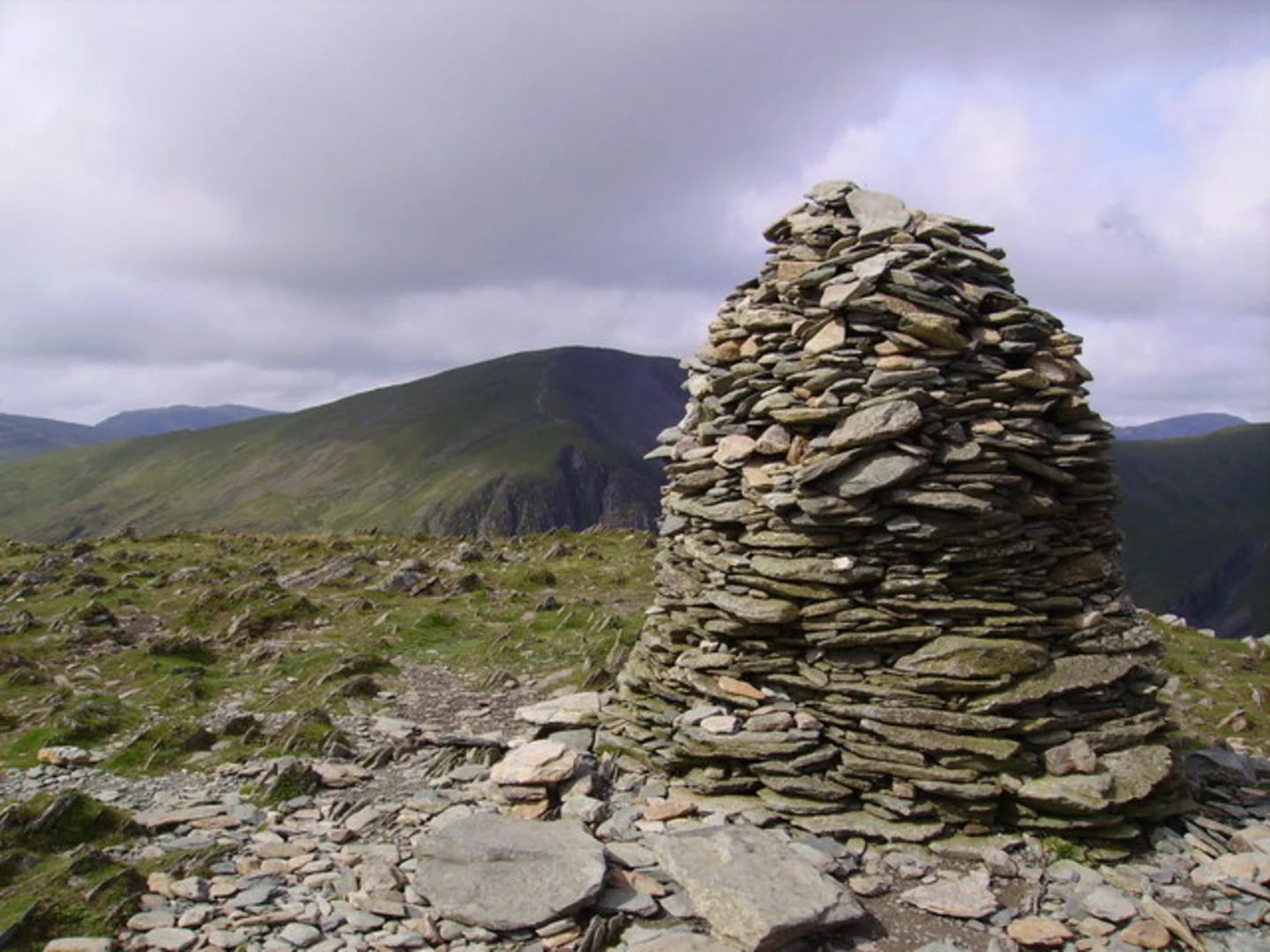
Starting near the picturesque Cumberland in England, this trail spans approximately 9 km (5.6 miles) with an elevation gain of around 400 meters (1,312 feet). The trailhead is accessible by car or public transport, with the nearest significant landmark being the Honister Slate Mine. If you're driving, there's parking available at the mine. For those using public transport, buses run from Keswick to the Honister Pass, making it convenient to reach the starting point.### Initial Ascent and Terrain The trail begins with a moderate ascent from Honister Pass, offering stunning views of the surrounding fells. The initial climb is steady but manageable, making it suitable for hikers with a moderate level of fitness. As you ascend, you'll traverse a mix of rocky paths and grassy slopes. The terrain can be uneven, so sturdy hiking boots are recommended.### Historical Significance Honister Pass is steeped in history, particularly due to the Honister Slate Mine, which has been operational since the 18th century. The mine is a testament to the region's industrial heritage and offers a fascinating glimpse into the lives of the miners who once worked there. As you hike, you'll notice remnants of old mining equipment and structures, adding a historical layer to your journey.### Midway Point: Dale Head Approximately 4 km (2.5 miles) into the hike, you'll reach Dale Head, a prominent fell that offers panoramic views of the Newlands Valley and the surrounding peaks. This is a great spot to take a break, enjoy a snack, and soak in the breathtaking scenery. The elevation gain to this point is around 300 meters (984 feet), making it a rewarding climb.### Wildlife and Flora The trail is rich in wildlife and flora. Keep an eye out for red squirrels, which are native to the area, as well as various bird species like the peregrine falcon and the red kite. The flora is equally diverse, with heather, bilberry, and various wildflowers dotting the landscape, especially vibrant during the spring and summer months.### Descent to High Brandelhow The descent towards High Brandelhow is gradual and offers a different perspective of the landscape. You'll pass through lush woodlands and open meadows, with the path becoming more defined and easier to navigate. The final stretch of the trail runs parallel to Derwentwater, providing serene lakeside views.### Navigation and Safety Given the varied terrain and potential for sudden weather changes, it's advisable to use a reliable navigation tool like HiiKER to stay on track. The trail is well-marked, but fog and rain can obscure markers, making digital navigation essential. Always check the weather forecast before setting out and carry appropriate gear, including a map, compass, and waterproof clothing.### Reaching High Brandelhow The trail concludes at High Brandelhow, a tranquil spot on the shores of Derwentwater. From here, you can catch a ferry back to Keswick or continue exploring the surrounding area. The total elevation gain for the hike is around 400 meters (1,312 feet), making it a moderately challenging but highly rewarding experience.This trail offers a perfect blend of natural beauty, historical intrigue, and moderate physical challenge, making it a must-do for any avid hiker exploring the Lake District.

What to expect?
Activity types
Comments and Reviews
User comments, reviews and discussions about the Honister Pass to High Brandelhow Walk, England.
5.0
average rating out of 5
3 rating(s)