Download
Preview
Add to list
More
9.3 km
~2 hrs 11 min
197 m
Loop
“Explore 9 km of natural beauty, historical landmarks, and diverse wildlife on the Balderhead Reservoir loop.”
Starting near County Durham, England, the Balderhead Reservoir, Blackton Reservoir, and Baldersdale loop trail spans approximately 9 km (5.6 miles) with an elevation gain of around 100 meters (328 feet). This medium-difficulty trail offers a blend of natural beauty, historical landmarks, and diverse wildlife, making it a rewarding experience for hikers.
Getting There
To reach the trailhead, you can drive or use public transport. If driving, head towards the village of Cotherstone, which is the nearest significant landmark. From there, follow signs to Balderhead Reservoir. For those using public transport, take a bus to Barnard Castle and then a taxi to the trailhead near Balderhead Reservoir.
Trail Overview
The loop trail begins near Balderhead Reservoir, a serene body of water surrounded by rolling hills and lush greenery. As you start your hike, you'll notice the gentle ascent, which gradually increases to an elevation gain of about 100 meters (328 feet) over the course of the trail.
Key Landmarks and Points of Interest
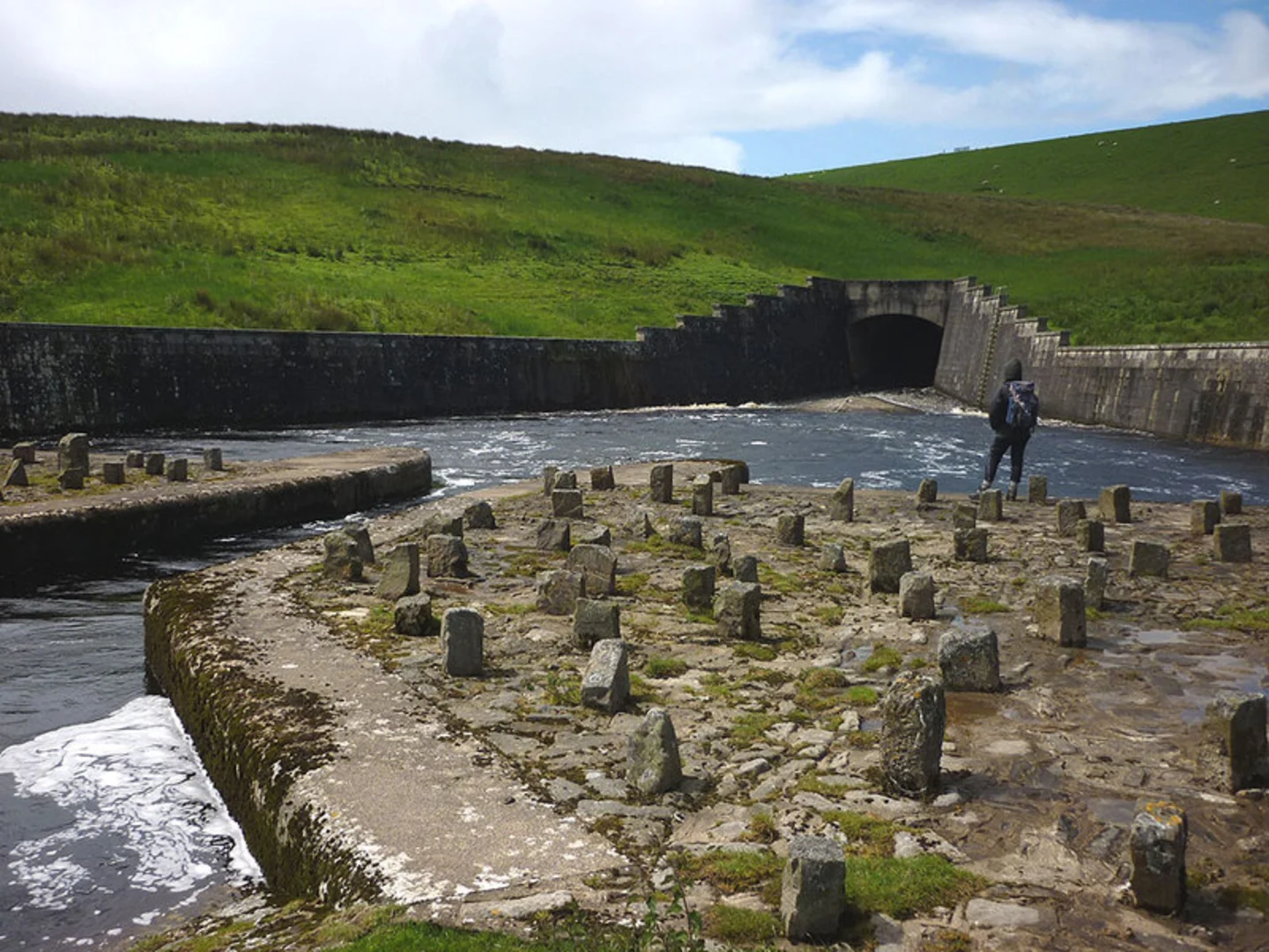
Balderhead Reservoir
At the beginning of your hike, you'll encounter Balderhead Reservoir. This reservoir is part of a series of man-made lakes constructed in the early 20th century to supply water to the surrounding areas. The reservoir is a haven for birdwatchers, with species such as the Great Crested Grebe and various ducks frequently spotted.
Blackton Reservoir
Approximately 3 km (1.9 miles) into the hike, you'll reach Blackton Reservoir. This area is particularly picturesque, with its calm waters reflecting the surrounding hills. The reservoir is also a popular spot for anglers, so you might see people fishing along the banks.
Baldersdale
Continuing on, you'll enter Baldersdale, a valley rich in history and natural beauty. The dale is home to Hannah Hauxwell's farm, a historical site that gained fame through documentaries highlighting the life of this remarkable woman who lived in the area. The farm is located about 5 km (3.1 miles) into the hike and offers a glimpse into the rural life of the past.
Flora and Fauna
The trail is abundant with diverse flora and fauna. In spring and summer, the meadows are carpeted with wildflowers such as bluebells and buttercups. Keep an eye out for red squirrels, which are native to the area, as well as various bird species including curlews and lapwings.
Navigation and Safety
Given the trail's medium difficulty rating, it's advisable to use a reliable navigation tool like HiiKER to ensure you stay on track. The path is generally well-marked, but some sections can be muddy, especially after rain, so sturdy hiking boots are recommended. Additionally, bring sufficient water and snacks, as there are no facilities along the trail.
Historical Significance
The reservoirs themselves are a testament to early 20th-century engineering, designed to meet the water needs of the growing population. The area around Baldersdale has a rich agricultural history, with stone walls and old farm buildings dotting the landscape, offering a window into the past.
Final Stretch
As you loop back towards the starting point near Balderhead Reservoir, you'll descend gently, allowing for a leisurely end to your hike. The final stretch offers panoramic views of the surrounding countryside, making it a perfect spot for some last-minute photos before concluding your journey.

What to expect?
Activity types
Comments and Reviews
User comments, reviews and discussions about the Balderhead Reservoir, Blackton Reservoir and Baldersdale, England.
4.5
average rating out of 5
2 rating(s)