Download
Preview
Add to list
More
4.8 km
~1 hrs 0 min
26 m
Loop
“Explore the Devils Dyke Loop for a blend of history, nature, and panoramic Cambridgeshire views.”
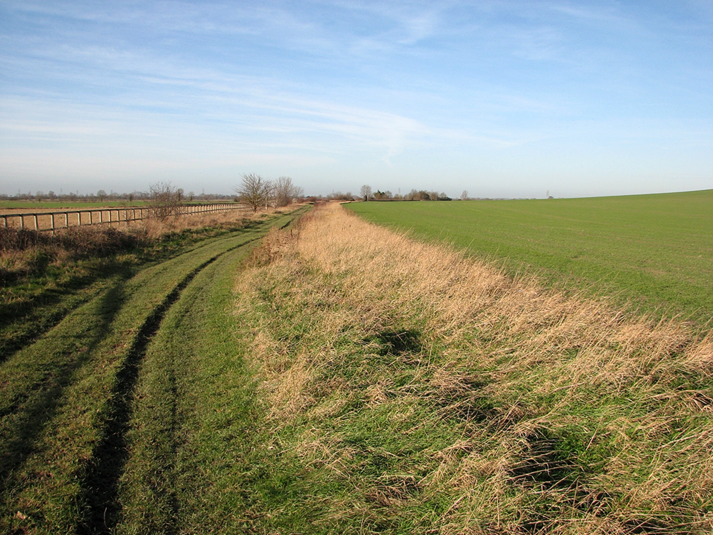
Starting near Cambridgeshire, England, the Devils Dyke Loop is a captivating 5 km (approximately 3.1 miles) trail with no significant elevation gain, making it accessible for a wide range of hikers. The trailhead is conveniently located near the village of Reach, which can be accessed by car or public transport. If you're driving, you can park at the Reach Village Centre. For those using public transport, the nearest train station is in Cambridge, from where you can take a bus to Reach.### Historical SignificanceDevils Dyke is an ancient Anglo-Saxon earthwork, believed to have been constructed in the 6th or 7th century. This impressive structure stretches for about 11 km (7 miles) and was originally built as a defensive fortification. As you hike along the loop, you'll encounter sections of this historic dyke, which stands as a testament to the engineering prowess of early medieval societies. The dyke itself is a Scheduled Ancient Monument, adding a layer of historical intrigue to your hike.### Trail Navigation and LandmarksStarting from Reach, the trail initially follows a well-marked path that runs parallel to the dyke. Using HiiKER for navigation is highly recommended to ensure you stay on track. About 1 km (0.6 miles) into the hike, you'll come across the first significant landmark: the Reach Lode, a man-made waterway that dates back to Roman times. This is a great spot to pause and take in the serene surroundings.Continuing along the trail, you'll soon reach the highest point of the dyke, offering panoramic views of the surrounding Cambridgeshire countryside. Although the elevation gain is minimal, the vantage point provides a unique perspective on the landscape. At around the 3 km (1.9 miles) mark, you'll pass through a small wooded area, which is home to a variety of bird species, including woodpeckers and finches. Keep an eye out for these feathered inhabitants as you make your way through the trees.### Flora and FaunaThe Devils Dyke Loop is rich in biodiversity. The chalk grassland along the dyke is home to a variety of wildflowers, including orchids and cowslips, particularly vibrant in the spring and early summer. The open fields and hedgerows are frequented by rabbits and hares, and if you're lucky, you might even spot a deer grazing in the distance.### Final StretchAs you near the end of the loop, the trail will bring you back towards Reach. This section of the hike is relatively flat and easy-going, allowing you to reflect on the historical and natural beauty you've encountered. The final stretch takes you past some picturesque farmlands before you arrive back at the village centre.### Preparation TipsGiven the trail's moderate difficulty, it's advisable to wear sturdy walking shoes and bring along water and snacks. The trail can be muddy after rain, so waterproof footwear is recommended. While the trail is well-marked, having HiiKER on hand will ensure you navigate the loop without any issues.Whether you're a history enthusiast, a nature lover, or simply looking for a pleasant day hike, the Devils Dyke Loop offers a unique blend of historical intrigue and natural beauty, making it a must-visit trail in Cambridgeshire.

What to expect?
Activity types
Comments and Reviews
User comments, reviews and discussions about the Devils Dyke Loop, England.
5.0
average rating out of 5
1 rating(s)