Download
Preview
Add to list
More
12.6 km
~2 hrs 43 min
124 m
Loop
“Embark on the Fairford Leys Loop, a 13 km trail blending scenic beauty, history, and moderate challenge.”
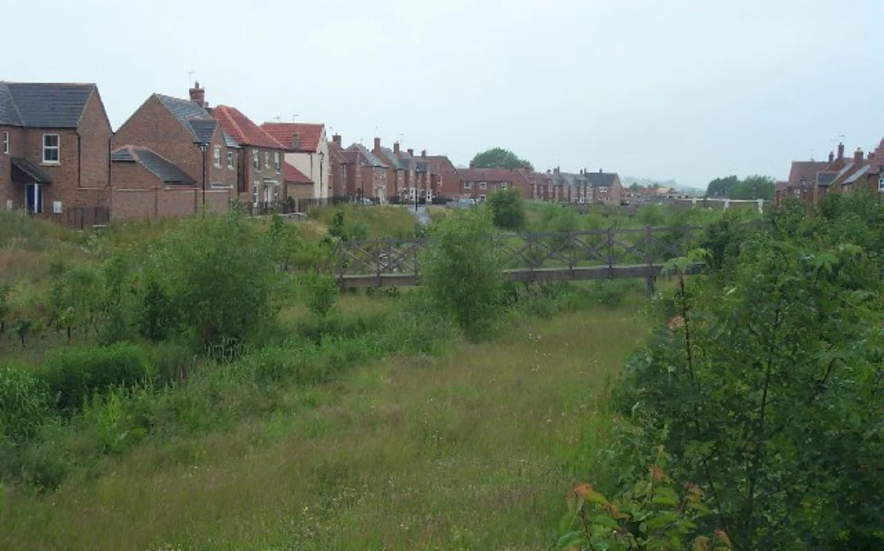
Starting near Buckinghamshire, England, the Fairford Leys Loop is a delightful 13 km (approximately 8 miles) trail with an elevation gain of around 100 meters (328 feet). This loop trail is rated as medium difficulty, making it suitable for hikers with some experience.### Getting There To reach the trailhead, you can either drive or use public transport. If you're driving, you can park near the Fairford Leys Centre, which is a convenient starting point. For those using public transport, the nearest train station is Aylesbury, which is well-connected to London and other major cities. From Aylesbury station, you can take a local bus or a short taxi ride to Fairford Leys.### Trail Navigation For navigation, it's highly recommended to use HiiKER, which provides detailed maps and real-time updates. This will help you stay on track and make the most of your hike.### Trail Description The trail begins near the Fairford Leys Centre, a bustling community hub. As you start your hike, you'll pass through a mix of residential areas and open fields. The first 2 km (1.2 miles) are relatively flat, making for an easy warm-up.### Nature and Wildlife Around the 3 km (1.8 miles) mark, you'll enter a more wooded area. This section is particularly beautiful in the spring and autumn, with vibrant foliage and a variety of bird species. Keep an eye out for local wildlife such as deer, foxes, and a plethora of bird species. The trail is well-marked, but using HiiKER will ensure you don't miss any turns.### Historical Significance As you continue, you'll come across several points of historical interest. Around the 5 km (3.1 miles) mark, you'll pass near the site of an old Roman road. This area is rich in history, and you might even spot some ancient ruins if you look closely. The trail also skirts the edge of several old estates, offering glimpses of grand manor houses and well-preserved gardens.### Midpoint and Elevation Gain By the time you reach the halfway point, you'll have encountered most of the trail's elevation gain. The ascent is gradual, making it manageable for most hikers. The highest point of the trail offers panoramic views of the surrounding countryside, a perfect spot for a rest and some photos.### Returning to the Trailhead The second half of the loop takes you through more open fields and along the edge of a small river. This section is relatively flat and offers a peaceful end to your hike. You'll eventually circle back to the Fairford Leys Centre, where you can find several cafes and shops to relax and refuel.### Final Stretch The last 2 km (1.2 miles) are a gentle descent back to the starting point. This part of the trail is well-maintained and easy to follow, making for a pleasant end to your hike. ### Tips for Hikers - Wear sturdy hiking boots, as some sections can be muddy, especially after rain. - Bring plenty of water and some snacks, as there are limited facilities along the trail. - Check the weather forecast before you go and dress accordingly. - Use HiiKER for navigation to ensure you stay on the correct path and make the most of your hike.Enjoy your hike on the Fairford Leys Loop, a trail that offers a perfect blend of natural beauty, historical intrigue, and a moderate challenge.

What to expect?
Activity types
Comments and Reviews
User comments, reviews and discussions about the Fairford Leys Loop, England.
4.0
average rating out of 5
1 rating(s)