Download
Preview
Add to list
More
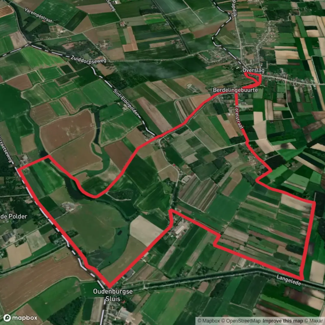
8.3 km
~1 hrs 39 min
0 m
Loop
“Winding through wetlands, fortresses, and vibrant towns, this trail paints the borderlands with history and wild beauty.”
The Grenslandpad, or "Borderland Trail," is a long-distance hiking route that traverses the Dutch-Belgian border, offering a unique blend of natural beauty and historical significance. One notable segment is the Zeelandic Flanders Loop, a circular trail approximately 136 kilometers (84.4 miles) in length, with an elevation gain of about 730 meters (2,395 feet). This loop is typically completed over 5 to 7 days, making it an excellent choice for a multi-day hiking adventure. ([alltrails.com](https://www.alltrails.com/trail/netherlands/zeeland/grenslandpad-zeeuws-vlaanderen-rondwandeling?utm_source=openai))
Getting to the Trailhead
The loop begins and ends at the Westerscheldetunnel bus station near Terneuzen, Zeeland, Netherlands. For those using public transportation, you can take a train to Goes, followed by a bus to Terneuzen. If driving, navigate to Terneuzen, where parking facilities are available near the trailhead. ([alltrails.com](https://www.alltrails.com/trail/netherlands/zeeland/grenslandpad-zeeuws-vlaanderen-rondwandeling?utm_source=openai))
Trail Overview
The Zeelandic Flanders Loop offers a diverse landscape, including creek areas, forts, fortified towns, dikes, and the Drowned Land of Saeftinghe. The trail is well-marked, but it's advisable to use a reliable navigation tool like HiiKER to ensure you stay on course. ([alltrails.com](https://www.alltrails.com/trail/netherlands/zeeland/grenslandpad-zeeuws-vlaanderen-rondwandeling?utm_source=openai))
Key Landmarks and Points of Interest
- Groot Eiland Estate: Early in the hike, you'll pass through the Groot Eiland estate, a unique natural area consisting of creeks fed by the Oude Vaart river. ([alltrails.com](https://www.alltrails.com/trail/netherlands/zeeland/grenslandpad-etappe-25-absdale-nieuw-namen?utm_source=openai))
- Hulst: Approximately 22 kilometers (13.7 miles) into the hike, you'll reach the fortified town of Hulst. This historic town features well-preserved ramparts and centuries-old entrance gates, offering a glimpse into the region's past. ([alltrails.com](https://www.alltrails.com/trail/netherlands/zeeland/grenslandpad-etappe-25-absdale-nieuw-namen?utm_source=openai))
- Zestigvoet Creek: Further along, the trail runs along the Zestigvoet creek, a serene area home to various waterfowl and equipped with fishing jetties. ([alltrails.com](https://www.alltrails.com/trail/netherlands/zeeland/grenslandpad-etappe-25-absdale-nieuw-namen?utm_source=openai))
Historical Significance
The Grenslandpad traverses regions rich in history, particularly related to the 17th-century Spanish defense line known as the Line of Communication. Near Hulst, you'll encounter Fort Moerschans, a remnant of this defensive line, providing insight into the area's strategic importance during historical conflicts. ([alltrails.com](https://www.alltrails.com/trail/netherlands/zeeland/grenslandpad-etappe-25-absdale-nieuw-namen?utm_source=openai))
Flora and Fauna
The trail passes through diverse habitats, including wetlands, forests, and agricultural lands. Birdwatchers will appreciate the variety of species, especially in the wetland areas near the Zestigvoet creek. Keep an eye out for European green woodpeckers, kingfishers, and the occasional buzzard soaring overhead. ([alltrails.com](https://www.alltrails.com/trail/netherlands/zeeland/grenslandpad-etappe-25-absdale-nieuw-namen?utm_source=openai))
Trail Sections and Distances
- Terneuzen to Hulst: This initial stretch covers approximately 22 kilometers (13.7 miles), featuring creek areas and the Groot Eiland estate. ([alltrails.com](https://www.alltrails.com/trail/netherlands/zeeland/grenslandpad-etappe-25-absdale-nieuw-namen?utm_source=openai))
- Hulst to Nieuw-Namen: Spanning roughly 22 kilometers (13.7 miles), this segment includes the fortified town of Hulst and the Zestigvoet creek. ([alltrails.com](https://www.alltrails.com/trail/netherlands/zeeland/grenslandpad-etappe-25-absdale-nieuw-namen?utm_source=openai))
- Nieuw-Namen to Terneuzen: Covering about 22 kilometers (13.7 miles), this segment completes the loop back to Terneuzen. ([alltrails.com](https://www.alltrails.com/trail/netherlands/zeeland/grenslandpad-etappe-25-absdale-nieuw-namen?utm_source=openai))
Preparation and Planning
Before embarking on the Zeelandic Flanders Loop, ensure you have adequate gear for variable weather conditions, as the trail can be exposed to the elements. Water and food supplies are essential, although there are towns and villages along the route where you can replenish your stocks. Note that there are few campsites along the route; on segments 25 and 26, there are no campsites, but there are a number of hotels. ([alltrails.com](https://www.alltrails.com/trail/netherlands/zeeland/grenslandpad-zeeuws-vlaanderen-rondwandeling?utm_source=openai))
The Zeelandic Flanders Loop offers a unique opportunity to explore the natural beauty and historical richness of the Dutch-Belgian borderlands. With careful preparation and a spirit of adventure, hikers will find this trail to be a rewarding journey through one of Europe's most charming regions.

Surfaces
Unknown
Concrete
Grass
Asphalt
Gravel
Comments and Reviews
User comments, reviews and discussions about the Grenspad Loop, Belgium.
average rating out of 5
0 rating(s)