Download
Preview
Add to list
More
2.9 km
~1 hrs 5 min
310 m
Loop
“Discover the Salt Lick Trail: a 3 km loop of diverse landscapes, wildlife, and historical intrigue.”
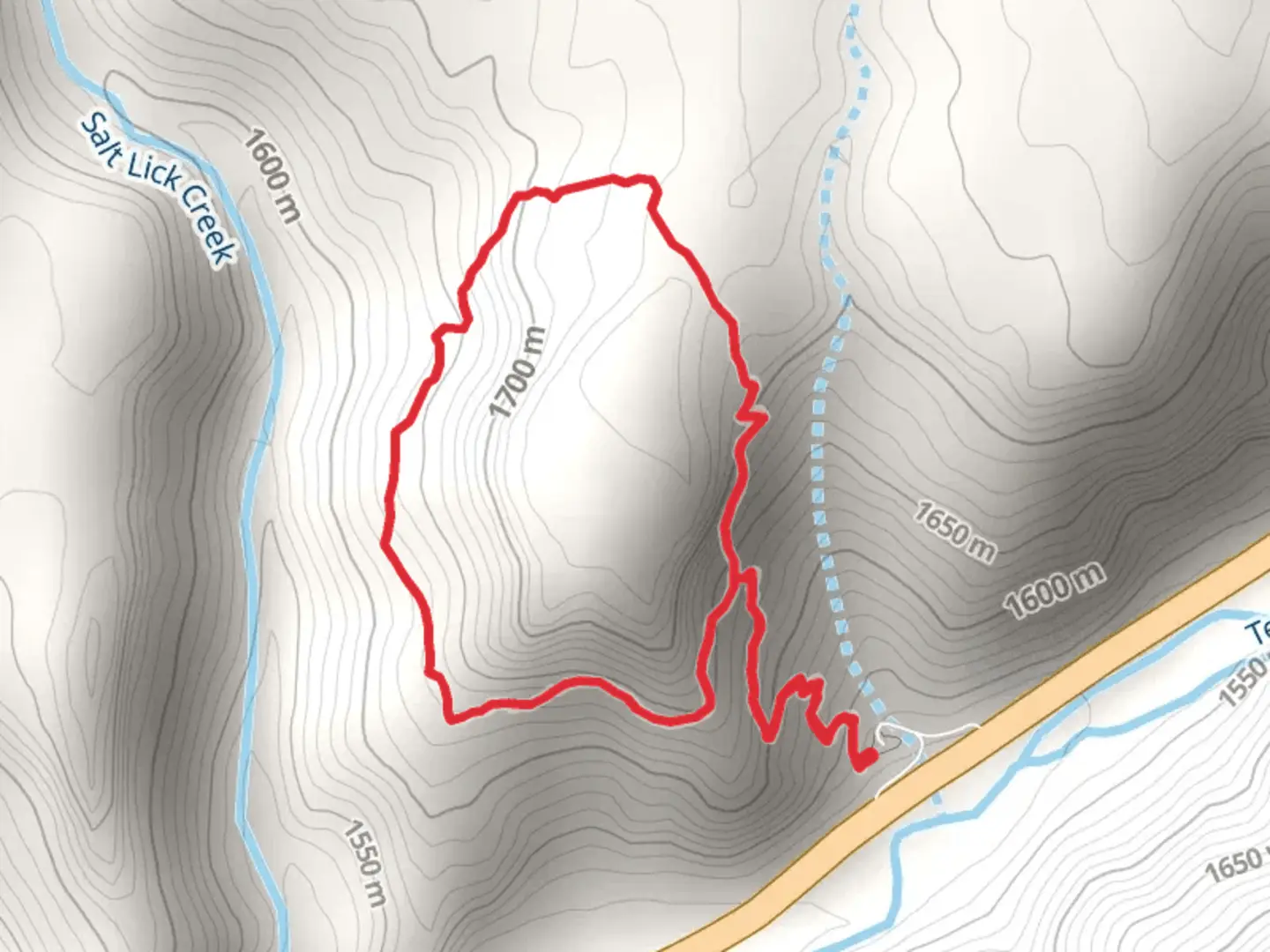
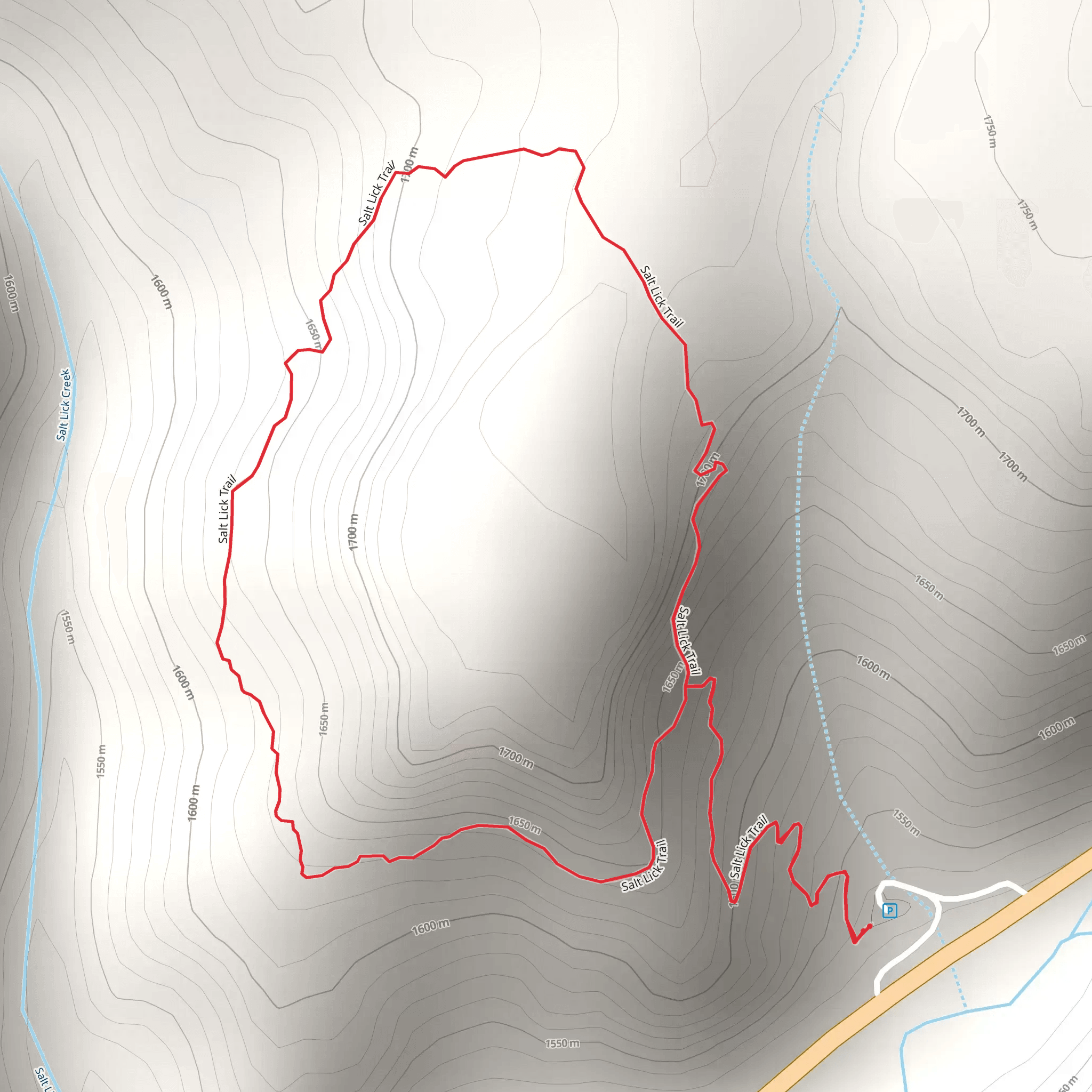
Starting near Washakie County, Wyoming, the Salt Lick Trail is a 3 km (approximately 1.86 miles) loop with an elevation gain of around 300 meters (984 feet). This medium-difficulty trail offers a rewarding hike through diverse landscapes and historical sites.### Getting There To reach the trailhead, you can drive or use public transport. If driving, head towards Washakie County and look for signs directing you to the trailhead near the town of Ten Sleep. For those using public transport, the nearest significant landmark is the Ten Sleep Post Office. From there, you may need to arrange a taxi or rideshare to the trailhead, as public transport options are limited in this rural area.### Trail Overview The Salt Lick Trail begins with a gentle ascent through a mixed forest of pine and aspen trees. The initial 0.5 km (0.31 miles) is relatively easy, allowing you to warm up before the steeper sections begin. As you continue, the trail becomes rockier and more challenging, with an elevation gain of about 150 meters (492 feet) over the next 1 km (0.62 miles).### Significant Landmarks and Nature At approximately 1.5 km (0.93 miles) into the hike, you'll reach a scenic overlook that offers panoramic views of the Bighorn Mountains. This is a great spot to take a break and enjoy the natural beauty of the area. Keep an eye out for local wildlife such as mule deer, elk, and various bird species, including the majestic golden eagle.### Historical Significance The region around the Salt Lick Trail has a rich history. The trail itself was used by Native American tribes for centuries as a route to access salt licks, which were essential for attracting game animals. In the late 1800s, settlers and miners also used this trail, and you may come across remnants of old mining equipment and cabins along the way.### Navigation and Safety Given the trail's moderate difficulty, it's advisable to use a reliable navigation tool like HiiKER to ensure you stay on track. The trail is well-marked, but having a digital map can be invaluable, especially in the more rugged sections.### Final Stretch The last 1 km (0.62 miles) of the trail descends gradually back to the trailhead, passing through a meadow that bursts into a riot of wildflowers in the spring and summer months. This section is relatively easy, allowing you to cool down and reflect on the hike.### Preparation Tips Given the elevation gain and rocky terrain, sturdy hiking boots are recommended. Bring plenty of water, especially during the warmer months, and consider packing a light snack or lunch to enjoy at the scenic overlook. Weather can change rapidly in this region, so dressing in layers is advisable.The Salt Lick Trail offers a blend of natural beauty, wildlife, and historical intrigue, making it a must-visit for hikers in the Washakie County area.
What to expect?
Activity types
Comments and Reviews
User comments, reviews and discussions about the Salt Lick Trail, Wyoming.
4.57
average rating out of 5
67 rating(s)
