Download
Preview
Add to list
More
11.8 km
~3 hrs 9 min
489 m
Loop
“Immerse yourself in the stunning aspen groves and panoramic Teton views on the Quakie Ridge trail.”
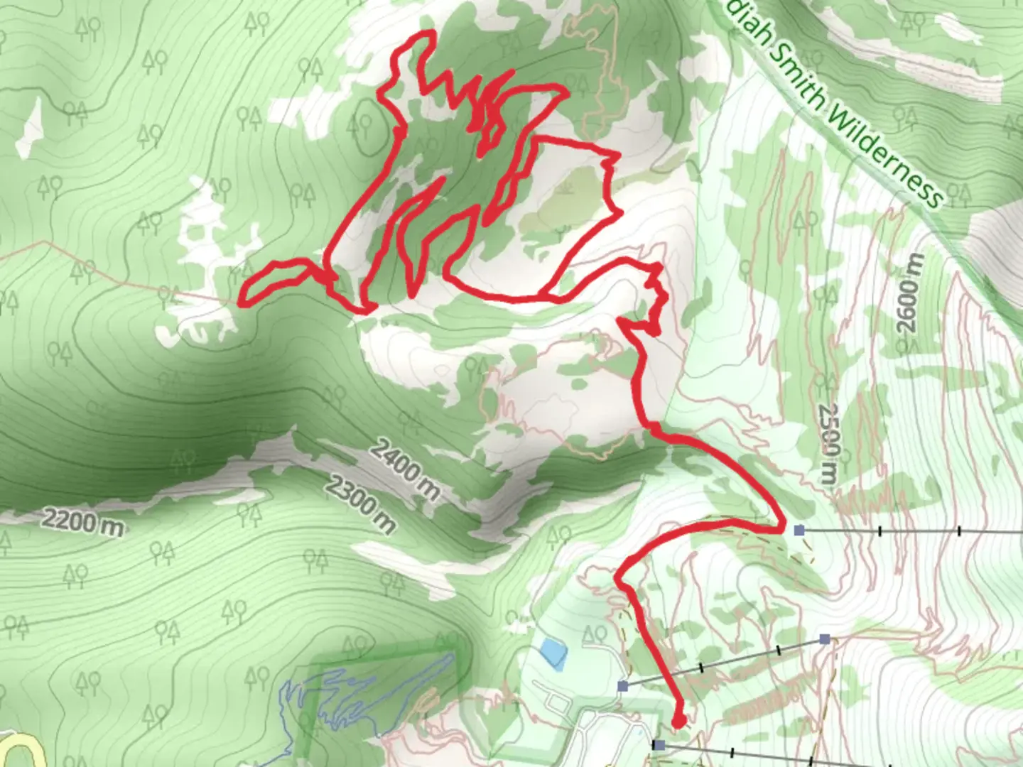
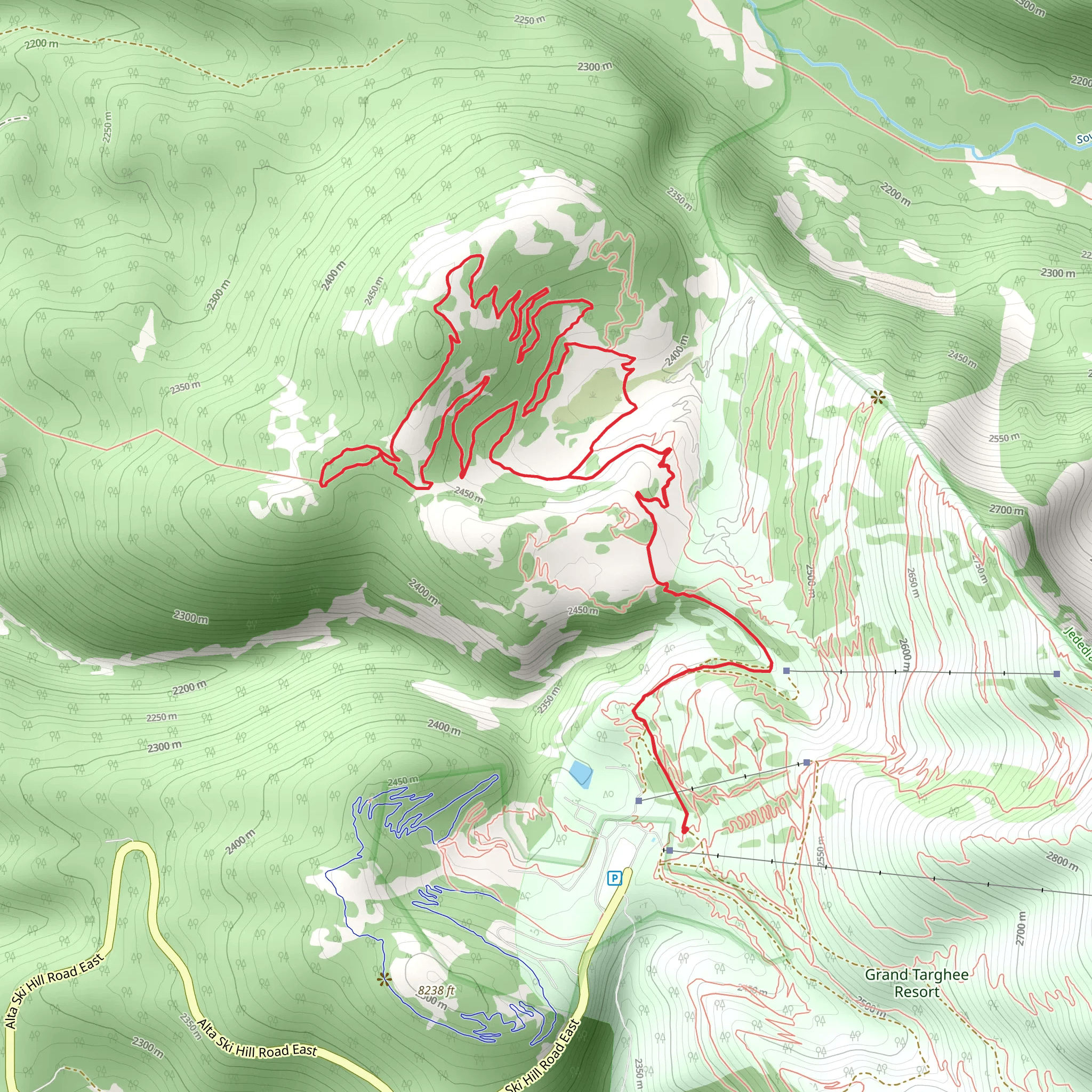
Starting your adventure near Teton County, Wyoming, the Quakie Ridge trail offers a captivating loop of approximately 12 kilometers (7.5 miles) with an elevation gain of around 400 meters (1,312 feet). This medium-difficulty trail provides a rewarding experience for hikers looking to immerse themselves in the natural beauty of the region.
Getting There To reach the trailhead, you can drive or use public transport. If driving, head towards the nearest known landmark, the Teton County Library, located at 125 Virginian Ln, Jackson, WY 83001. From there, it's a short drive to the trailhead. For those using public transport, the START Bus service operates routes that can get you close to the trailhead. Check the latest schedules and routes on their website to plan your trip accordingly.
Trail Overview The Quakie Ridge trail is a loop, meaning you'll start and end at the same point, making logistics simpler. The trail begins with a gentle ascent through a dense forest of quaking aspens, which give the trail its name. These trees are particularly stunning in the fall when their leaves turn a brilliant gold.
Key Landmarks and Points of Interest - **Aspen Groves (0-2 km / 0-1.2 miles):** The initial part of the trail takes you through lush aspen groves. Keep an eye out for deer and elk, which are commonly seen in this area. - **Wildflower Meadows (2-4 km / 1.2-2.5 miles):** As you continue, the forest opens up into expansive meadows filled with wildflowers during the spring and summer months. This is a great spot for photography. - **Quakie Ridge Summit (5 km / 3.1 miles):** The trail reaches its highest point at around 5 kilometers (3.1 miles). Here, you'll be rewarded with panoramic views of the Teton Range. This is an excellent spot to take a break and enjoy the scenery. - **Historical Significance (6-8 km / 3.7-5 miles):** As you descend, you'll pass through areas that were historically used by Native American tribes for hunting and gathering. Interpretive signs along the trail provide insights into the rich cultural history of the region. - **Creek Crossings (8-10 km / 5-6.2 miles):** The trail then follows a series of small creeks. These crossings are generally easy but can be slippery after rain, so watch your footing. - **Return to Trailhead (10-12 km / 6.2-7.5 miles):** The final stretch takes you back through mixed forests and meadows, eventually looping back to the trailhead.
Wildlife and Nature The Quakie Ridge trail is home to a variety of wildlife, including black bears, moose, and numerous bird species. Always carry bear spray and know how to use it. The diverse flora includes not only aspens but also pines, firs, and a variety of wildflowers, making it a botanist's delight.
Navigation For navigation, it's highly recommended to use the HiiKER app, which provides detailed maps and real-time GPS tracking. This will help you stay on course and provide information on elevation changes and points of interest.
Preparation Tips - **Footwear:** Sturdy hiking boots are recommended due to the varied terrain. - **Water:** Carry at least 2 liters of water per person, as there are limited sources along the trail. - **Weather:** Weather can change rapidly in this region, so bring layers and be prepared for rain or sudden temperature drops. - **Permits:** Check if any permits are required before you go, especially if you plan to camp overnight.
By following these guidelines and being well-prepared, you'll be able to fully enjoy the Quakie Ridge trail and all the natural beauty it has to offer.
What to expect?
Activity types
Comments and Reviews
User comments, reviews and discussions about the Quakie Ridge, Wyoming.
4.43
average rating out of 5
54 rating(s)
