Download
Preview
Add to list
More
2.0 km
~25 min
23 m
Loop
“Explore Polecat Creek's 2 km loop for stunning landscapes, wildlife, and historical insights near Jackson Hole Airport.”
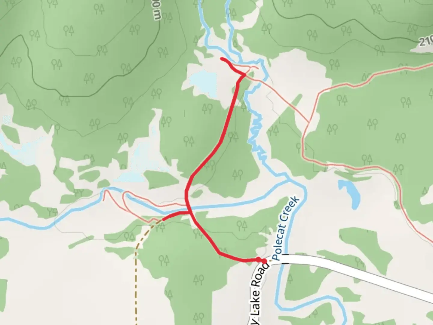
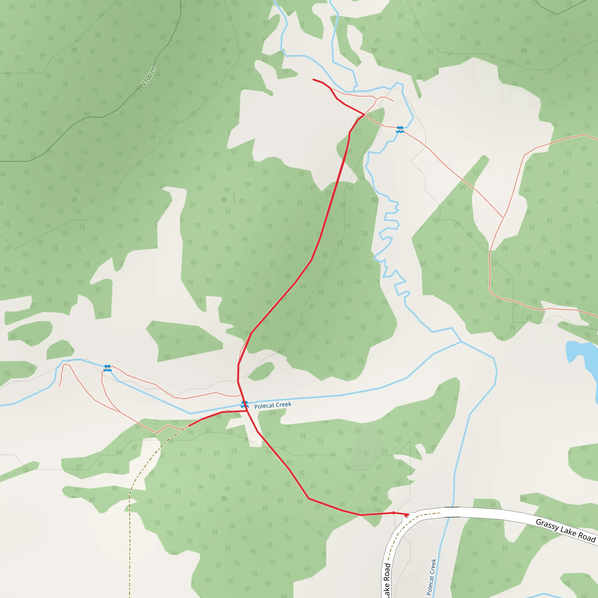
Starting near Teton County, Wyoming, the Polecat Creek trail offers a delightful 2 km (1.24 miles) loop with no significant elevation gain, making it an accessible yet engaging hike for those looking to explore the natural beauty of the area. The trailhead is conveniently located near the Jackson Hole Airport, making it easily accessible whether you're arriving by car or public transport.
Getting There If you're driving, head towards the Jackson Hole Airport and follow signs for the Grand Teton National Park. The trailhead is situated just a short distance from the airport, making it a convenient starting point for travelers. For those using public transport, the START Bus service from Jackson can drop you off near the airport, from where you can easily walk to the trailhead.
Trail Overview The Polecat Creek trail is a loop, meaning you'll start and end at the same point, making navigation straightforward. The trail is well-marked and maintained, but it's always a good idea to have a reliable navigation tool like HiiKER to ensure you stay on track.
Natural Beauty and Wildlife As you embark on this 2 km journey, you'll be greeted by the serene beauty of Polecat Creek. The trail meanders through lush meadows and dense forests, offering a variety of landscapes to enjoy. Keep an eye out for local wildlife; it's not uncommon to spot moose, deer, and a variety of bird species. The creek itself is a haven for beavers, and you might even catch a glimpse of them at work.
Significant Landmarks Approximately halfway through the loop, you'll come across a picturesque wooden bridge that spans Polecat Creek. This is a great spot to pause and take in the tranquil surroundings. The bridge also offers a fantastic vantage point for photography, capturing the essence of the creek and its lush surroundings.
Historical Significance The area around Polecat Creek has a rich history, deeply intertwined with the indigenous peoples who have lived here for thousands of years. The creek and its surrounding lands were vital for hunting and gathering, providing essential resources for survival. As you hike, take a moment to reflect on the historical significance of the land and its original inhabitants.
Trail Conditions and Safety While the trail is relatively flat with no significant elevation gain, it's rated as medium difficulty due to some uneven terrain and potential muddy sections, especially after rain. Wear sturdy hiking boots to navigate these areas comfortably. Always carry water, a map, and a first aid kit, and be prepared for sudden weather changes, which are common in this region.
Final Stretch As you near the end of the loop, the trail will bring you back to the starting point near the Jackson Hole Airport. This final stretch offers a gentle walk through open meadows, providing a relaxing end to your hike.
Whether you're a seasoned hiker or a beginner, the Polecat Creek trail offers a perfect blend of natural beauty, wildlife, and historical significance, making it a must-visit when you're in Teton County, Wyoming.
What to expect?
Activity types
Comments and Reviews
User comments, reviews and discussions about the Polecat Creek, Wyoming.
4.54
average rating out of 5
59 rating(s)
