Download
Preview
Add to list
More
2.8 km
~1 hrs 23 min
501 m
Out and Back
“This moderately challenging hike near Teton Pass offers stunning views, rich history, and abundant wildlife.”
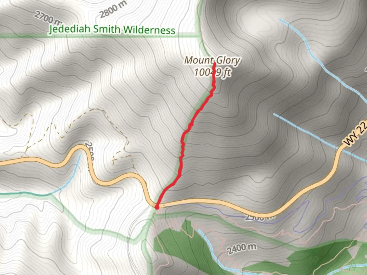
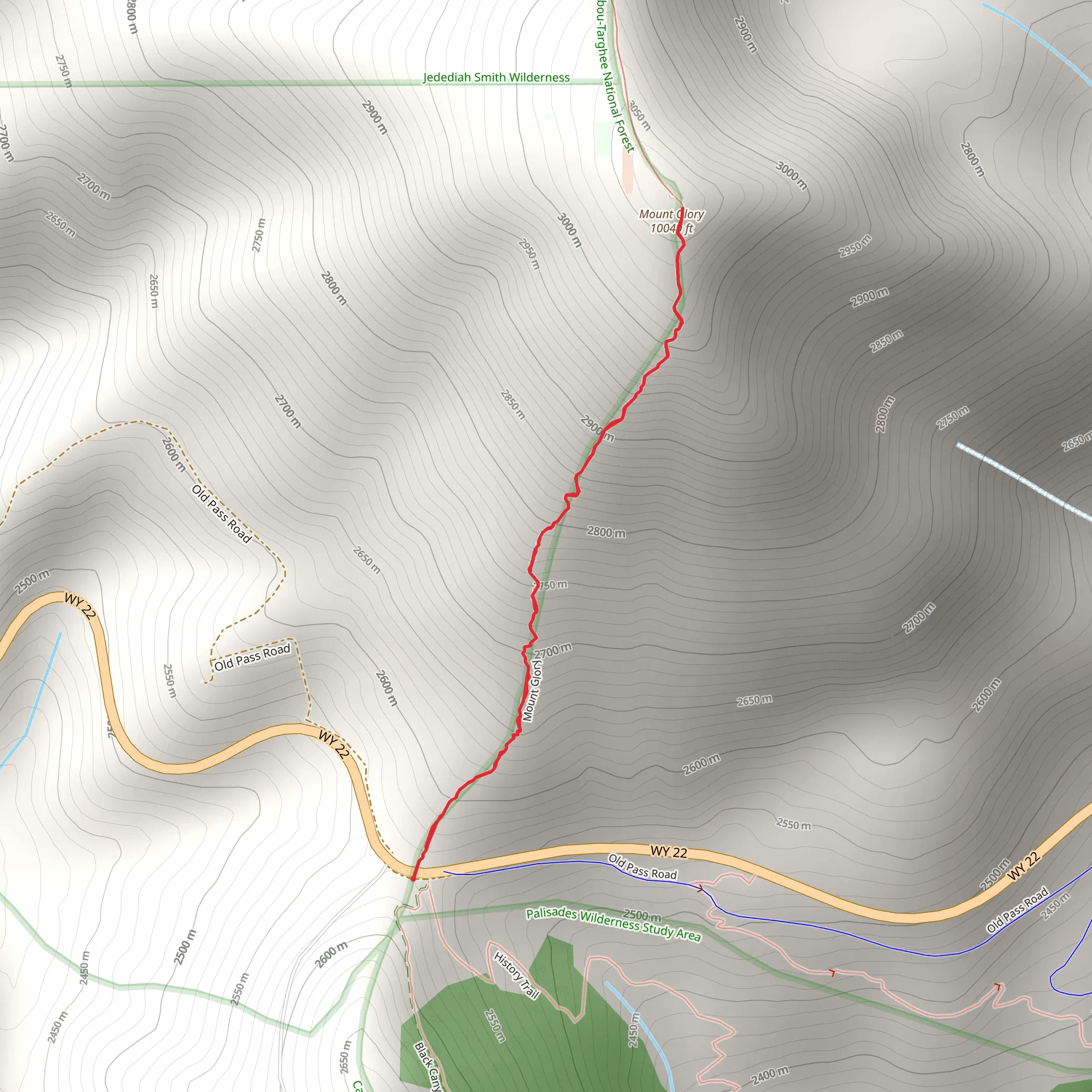
Starting your adventure near Teton County, Wyoming, the trailhead for this hike is conveniently located just off the Teton Pass Highway, near the Phillips Bench Trailhead. If you're driving, there's a small parking area available, but it can fill up quickly, especially on weekends. For those relying on public transport, the START Bus service from Jackson Hole can drop you off at the Teton Pass, though you'll need to check the latest schedules and stops.
The trail spans approximately 3 kilometers (1.86 miles) with an elevation gain of around 500 meters (1,640 feet), making it a moderately challenging hike. The out-and-back trail format means you'll be retracing your steps on the return journey, so be sure to conserve some energy for the descent.
Initial Ascent
From the trailhead, the path begins with a steep ascent through a dense forest of lodgepole pines and aspens. The first 0.5 kilometers (0.3 miles) will have you gaining significant elevation quickly, around 150 meters (492 feet). This section can be quite strenuous, so take your time and pace yourself. The forest provides ample shade, making it a pleasant climb even on warmer days.
Mid-Trail Landmarks
As you continue, the trail opens up to a series of switchbacks that offer stunning views of the surrounding Teton Range. Around the 1.5-kilometer (0.93-mile) mark, you'll come across a rocky outcrop that serves as an excellent spot for a short break. From here, you can see the Snake River Valley and, on clear days, even the distant peaks of the Gros Ventre Range.
Flora and Fauna
The trail is rich in biodiversity. Keep an eye out for wildflowers such as lupines and Indian paintbrushes, especially in late spring and early summer. Wildlife is abundant; you might spot mule deer, marmots, and even the occasional black bear. Birdwatchers will enjoy sightings of Clark's nutcrackers and mountain bluebirds.
Final Push to the Summit
The last kilometer (0.62 miles) to the summit of Mount Glory is the most challenging, with an elevation gain of about 200 meters (656 feet). The terrain becomes rockier and more exposed, so be cautious of loose stones and sudden gusts of wind. Trekking poles can be particularly useful in this section.
Historical Significance
The Teton Range has a rich history, with Native American tribes such as the Shoshone and Bannock using these mountains for hunting and gathering. The area around Mount Glory was also explored by early trappers and fur traders in the 19th century. The name "Mount Glory" itself is a nod to the awe-inspiring views and the sense of accomplishment hikers feel upon reaching the summit.
Summit Views
Upon reaching the summit, you'll be rewarded with panoramic views of the Teton Range, Jackson Hole, and the Snake River Valley. The summit is marked by a small cairn, and it's a popular spot for photos. Take a moment to soak in the breathtaking scenery before beginning your descent.
Navigation
For navigation, it's highly recommended to use the HiiKER app, which provides detailed maps and real-time updates. This will help you stay on track and ensure you don't miss any key landmarks along the way.
Descent
The descent follows the same path back to the trailhead. While it's easier on the lungs, the steep sections can be tough on the knees, so take it slow and steady. The entire hike typically takes around 2 to 3 hours, depending on your pace and how long you spend at the summit.
This trail offers a rewarding experience with its combination of challenging terrain, stunning views, and rich history. Whether you're a seasoned hiker or looking for a moderate challenge, this hike is sure to leave you with lasting memories.
What to expect?
Activity types
Comments and Reviews
User comments, reviews and discussions about the Mount Glory, Wyoming.
4.59
average rating out of 5
64 rating(s)
