Download
Preview
Add to list
More
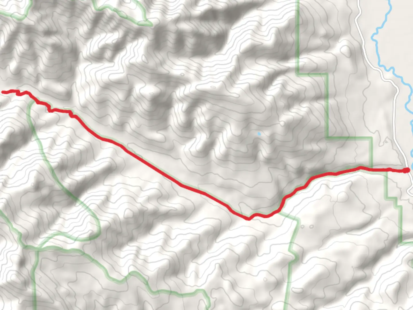
25.9 km
~5 hrs 59 min
485 m
Out and Back
“Explore the scenic, wildlife-rich Mosquito Creek Road trail, a moderately challenging 26-kilometer adventure near Teton County.”
Starting near Teton County, Wyoming, the Mosquito Creek Road trail is an out-and-back hike that spans approximately 26 kilometers (16 miles) with an elevation gain of around 400 meters (1,312 feet). This trail is rated as medium difficulty, making it suitable for moderately experienced hikers.
Getting There
To reach the trailhead, you can drive or use public transport. If driving, head towards Teton County, Wyoming, and look for the nearest known address or significant landmark, which is the Teton Village. From Teton Village, follow the signs to the trailhead. For those using public transport, you can take a bus to Teton Village and then arrange for a local taxi or rideshare service to the trailhead.
Trail Overview
The trail begins with a gentle ascent through a dense forest of lodgepole pines and aspens. The first 3 kilometers (1.9 miles) are relatively easy, with a gradual elevation gain of about 100 meters (328 feet). As you continue, the trail becomes steeper, and the terrain more rugged, offering a moderate challenge.
Significant Landmarks and Nature
Around the 5-kilometer (3.1-mile) mark, you'll encounter a picturesque meadow, often frequented by elk and deer. This is a great spot for a short break and some wildlife observation. Keep an eye out for wildflowers in the spring and summer months, including lupines and Indian paintbrush.
Historical Significance
The region around Mosquito Creek has a rich history. It was once a hunting ground for Native American tribes, and remnants of their presence can still be found in the form of arrowheads and pottery shards. In the late 1800s, the area saw an influx of trappers and settlers, contributing to the local lore and history.
Mid-Trail Challenges
As you approach the halfway point, around 13 kilometers (8 miles) in, the trail becomes more challenging. The elevation gain here is more pronounced, with an additional 200 meters (656 feet) over the next 5 kilometers (3.1 miles). This section is rocky and can be slippery, especially after rain, so good hiking boots are essential.
Wildlife and Flora
The higher elevations are home to a variety of wildlife, including black bears and moose. It's crucial to carry bear spray and know how to use it. The flora also changes as you ascend, with subalpine firs and Engelmann spruce becoming more prevalent.
Navigation
For navigation, it's recommended to use the HiiKER app, which provides detailed maps and real-time updates. The trail is well-marked, but having a reliable navigation tool is always a good idea, especially in areas where the path may be less clear.
Final Stretch
The final stretch of the trail offers stunning views of the surrounding mountains and valleys. The turnaround point is a scenic overlook that provides a panoramic view of the Teton Range. This is a perfect spot for photos and a well-deserved rest before heading back.
Return Journey
The return journey follows the same path, offering a different perspective on the landscape. The descent is easier on the legs but still requires caution, especially on the steeper sections.
Preparation Tips
Ensure you carry enough water, as there are limited sources along the trail. A water filter can be useful if you plan to refill from streams. Weather can change rapidly, so pack layers and be prepared for sudden temperature drops, especially at higher elevations.
By following these guidelines and being well-prepared, you can fully enjoy the beauty and challenges of the Mosquito Creek Road trail.

What to expect?
Activity types
Comments and Reviews
User comments, reviews and discussions about the Mosquito Creek Road, Wyoming.
4.7
average rating out of 5
33 rating(s)