Download
Preview
Add to list
More
23.3 km
~1 day 1 hrs
833 m
Loop
“Explore lush forests, open meadows, and rich history on the scenic Cache Creek and Game Creek Trail.”
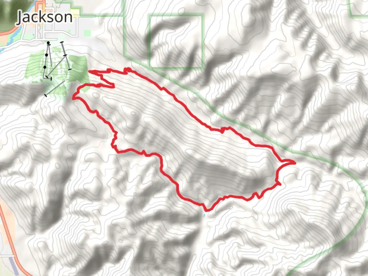
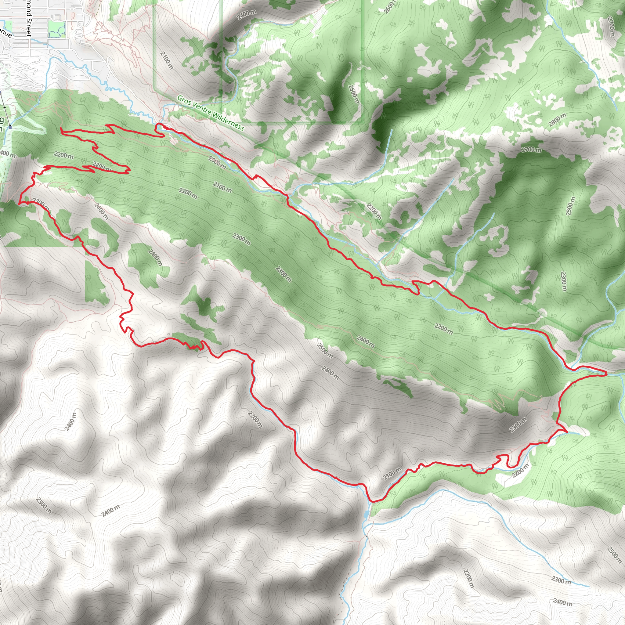
Starting near Teton County, Wyoming, the Cache Creek and Game Creek Trail is a scenic loop that spans approximately 23 kilometers (14.3 miles) with an elevation gain of around 800 meters (2,625 feet). This medium-difficulty trail offers a diverse experience, from lush forests to open meadows, and is perfect for those looking to immerse themselves in the natural beauty of the region.### Getting There To reach the trailhead, you can drive or use public transportation. If driving, head towards the Cache Creek Trailhead, located near the town of Jackson, Wyoming. The nearest significant landmark is the Snow King Resort, which is a well-known spot in Jackson. From there, it's a short drive to the trailhead. For those using public transport, local buses from Jackson can drop you off near the Snow King Resort, from where you can either walk or take a short taxi ride to the trailhead.### Trail Overview The trail begins with a gentle ascent through a dense forest of pine and aspen trees. As you progress, you'll encounter a series of switchbacks that gradually increase in elevation. After about 5 kilometers (3.1 miles), you'll reach a viewpoint offering stunning vistas of the surrounding mountains and valleys. This is a great spot to take a break and soak in the scenery.### Wildlife and Flora The area is rich in wildlife, so keep an eye out for deer, elk, and even the occasional moose. Birdwatchers will also find plenty to admire, with species like the Clark's Nutcracker and Mountain Bluebird frequently spotted. The trail is lined with wildflowers during the spring and summer months, adding a splash of color to your hike.### Significant Landmarks Around the 10-kilometer (6.2-mile) mark, you'll come across Game Creek, a serene spot perfect for a quick rest or a picnic. The creek is a tributary of the Snake River and has historical significance as a water source for early settlers and Native American tribes in the region. Continuing along the trail, you'll pass through open meadows that offer panoramic views of the Teton Range.### Elevation and Terrain The trail's highest point is reached at approximately 12 kilometers (7.5 miles), where the elevation gain totals around 800 meters (2,625 feet). From here, the trail begins a gradual descent back towards the trailhead. The terrain varies from rocky paths to soft, forested ground, so sturdy hiking boots are recommended.### Navigation and Safety Given the trail's length and elevation gain, it's advisable to use a reliable navigation tool like HiiKER to keep track of your progress and ensure you stay on course. The trail is well-marked, but having a digital map can provide extra peace of mind. Always carry sufficient water, snacks, and a first-aid kit. Weather can change rapidly in this region, so pack layers and be prepared for sudden shifts in temperature.### Historical Context The Cache Creek and Game Creek areas have a rich history, with evidence of Native American habitation dating back thousands of years. The name "Cache Creek" originates from fur trappers who used the area to "cache" or hide their goods. This historical context adds an extra layer of depth to your hiking experience, making it not just a physical journey but a walk through time.This trail offers a well-rounded hiking experience with its mix of natural beauty, wildlife, and historical significance. Whether you're a seasoned hiker or someone looking to explore the great outdoors, the Cache Creek and Game Creek Trail provides a memorable adventure.
What to expect?
Activity types
Comments and Reviews
User comments, reviews and discussions about the Cache Creek and Game Creek Trail, Wyoming.
4.46
average rating out of 5
71 rating(s)
