Download
Preview
Add to list
More
15.0 km
~3 hrs 38 min
387 m
Out and Back
“Journey through serene forests and meadows to breathtaking vistas at Photographers Point via Pole Creek Trail.”
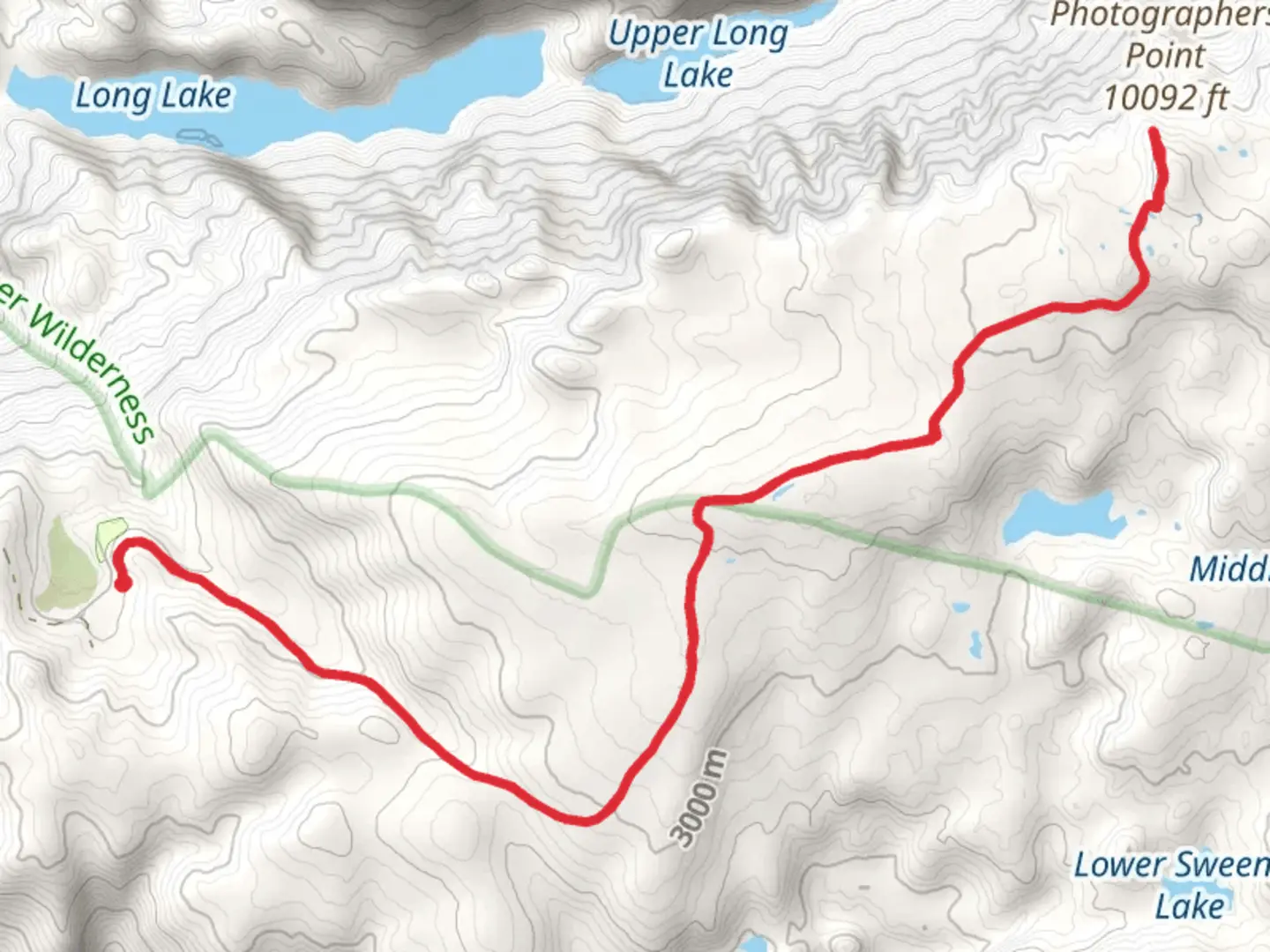
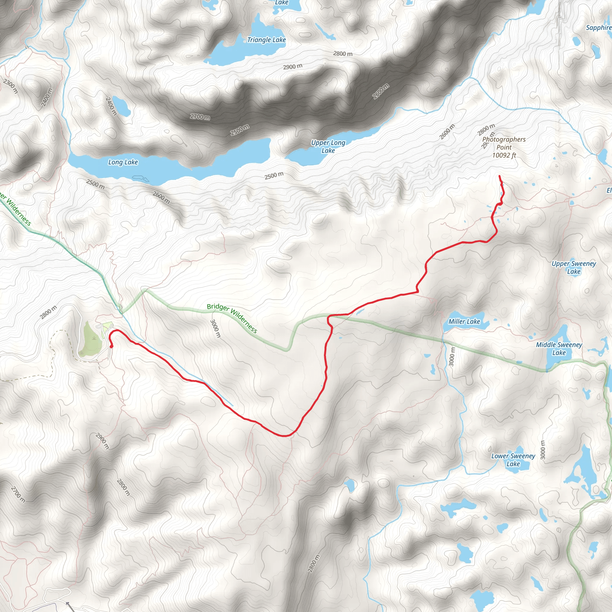
Starting your journey near Sublette County, Wyoming, the Photographers Point via Pole Creek Trail is an out-and-back trail that spans approximately 15 kilometers (around 9.3 miles) with an elevation gain of about 300 meters (approximately 984 feet). This trail is rated as medium difficulty, making it accessible for most hikers with a moderate level of fitness.### Getting There To reach the trailhead, you can drive or use public transportation. If driving, head towards the Elkhart Park Trailhead, which is the nearest significant landmark. The trailhead is well-marked and has ample parking space. For those relying on public transport, the nearest major town is Pinedale, Wyoming. From Pinedale, you can take a local shuttle service or a taxi to Elkhart Park.### Trail Overview The trail begins at Elkhart Park and immediately immerses you in the serene beauty of the Bridger-Teton National Forest. The initial section of the trail is relatively flat, allowing you to ease into the hike. As you progress, the trail gradually ascends, offering a gentle but steady climb.### Significant Landmarks and Nature Around the 3-kilometer (1.9-mile) mark, you'll encounter a picturesque meadow, often frequented by deer and other wildlife. This is a great spot to take a short break and enjoy the natural surroundings. Continuing on, the trail meanders through dense forests of lodgepole pine and spruce, providing ample shade and a cool respite from the sun.At approximately 6 kilometers (3.7 miles) into the hike, you'll reach a small creek crossing. Depending on the season, the water level can vary, so be prepared with waterproof boots or a change of socks. The trail then begins a more noticeable ascent, gaining elevation more rapidly as you approach Photographers Point.### Photographers Point The highlight of the trail is undoubtedly Photographers Point, located around 7.5 kilometers (4.6 miles) from the trailhead. This vantage point offers breathtaking panoramic views of the Wind River Range, including the iconic peaks of Fremont, Jackson, and Titcomb Basin. The expansive vista is a photographer's dream, hence the name. It's an ideal spot for a lunch break, so pack a meal to enjoy while taking in the stunning scenery.### Wildlife and Flora The area is rich in wildlife, including elk, moose, and various bird species. Keep an eye out for marmots and pikas among the rocky outcrops near Photographers Point. The flora is equally diverse, with wildflowers blooming in the meadows during the summer months, adding a splash of color to the landscape.### Historical Significance The Wind River Range has a rich history, with evidence of Native American presence dating back thousands of years. The Shoshone tribe, in particular, has deep roots in this region. The area was also explored by early trappers and mountain men in the 19th century, adding a layer of historical intrigue to your hike.### Navigation For navigation, it's highly recommended to use HiiKER, which provides detailed maps and real-time updates on trail conditions. This will ensure you stay on the right path and can fully enjoy your hiking experience.### Return Journey The return journey follows the same path back to Elkhart Park, allowing you to revisit the beautiful landscapes and perhaps notice details you missed on the way up. The descent is generally easier, but always watch your footing, especially on the steeper sections.Prepare adequately with water, snacks, and appropriate gear, and you'll find the Photographers Point via Pole Creek Trail to be a rewarding and memorable hike.
What to expect?
Activity types
Comments and Reviews
User comments, reviews and discussions about the Photographers Point via Pole Creek Trail, Wyoming.
4.54
average rating out of 5
72 rating(s)
