Download
Preview
Add to list
More
25.0 km
~1 day 1 hrs
1199 m
Out and Back
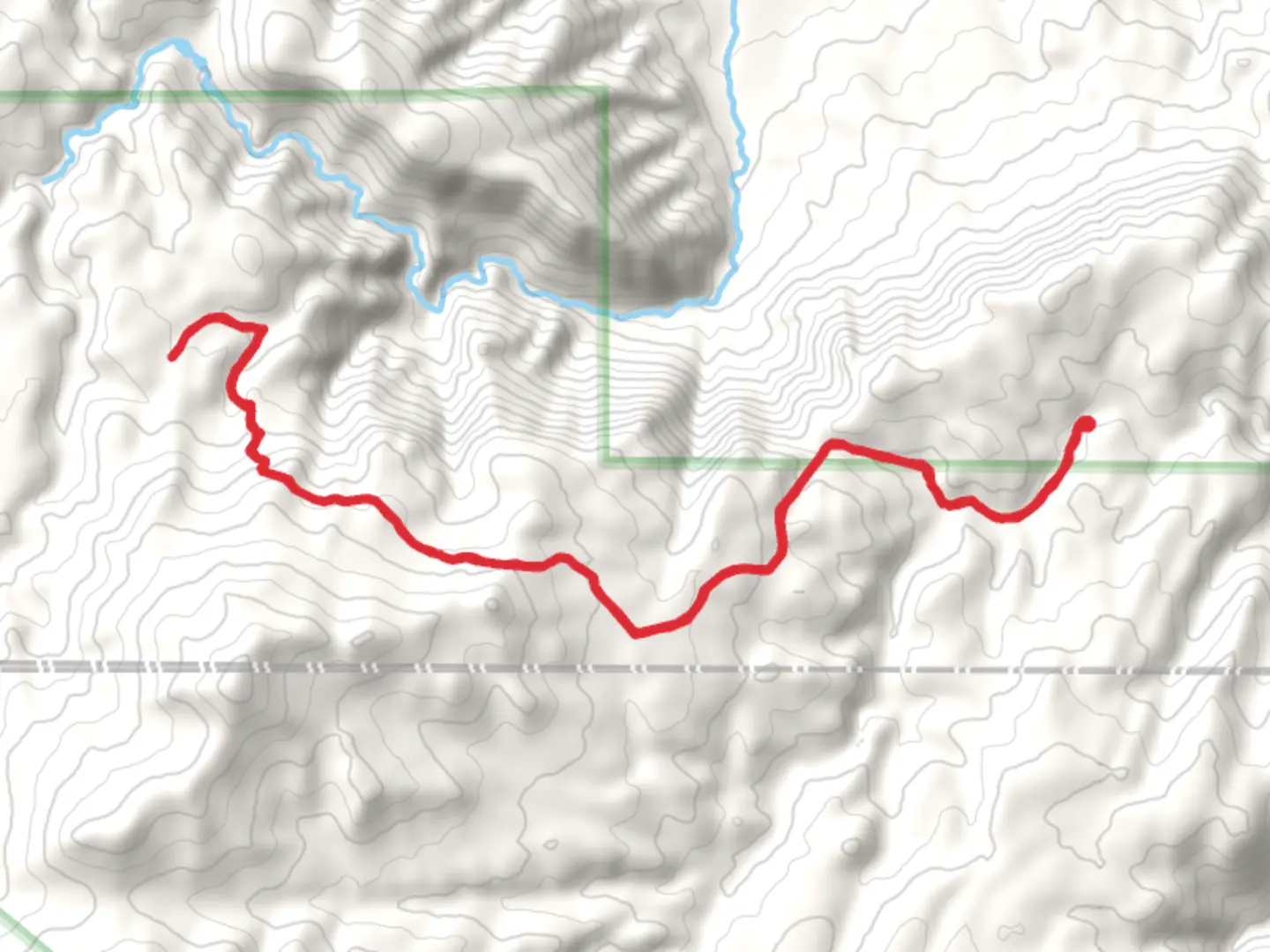
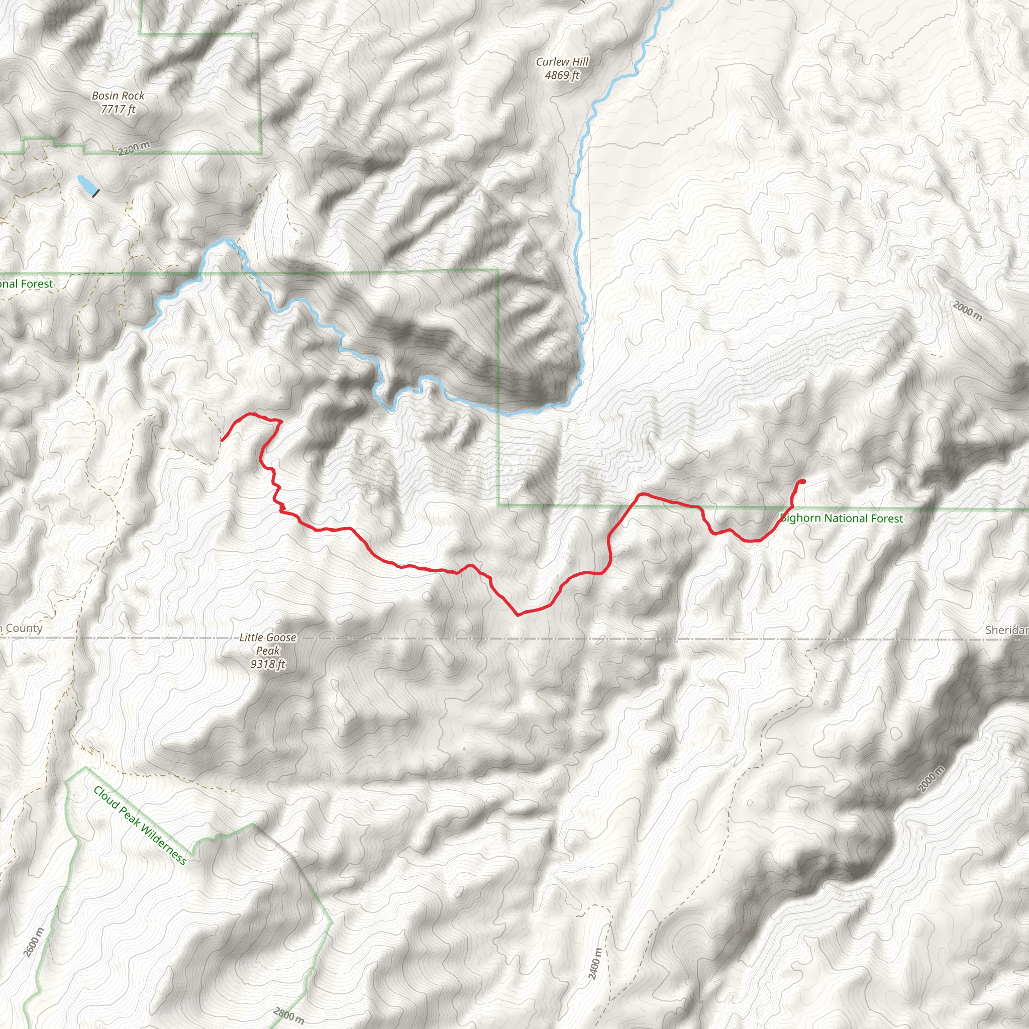
“The Stockwell Pack Trail offers a moderately challenging, scenic 25 km hike through Wyoming's historic Bighorn Mountains.”
Starting near Sheridan County, Wyoming, the Stockwell Pack Trail is an out-and-back trail that spans approximately 25 kilometers (15.5 miles) with an elevation gain of around 1100 meters (3609 feet). This trail is rated as medium difficulty, making it suitable for moderately experienced hikers.
Getting There To reach the trailhead, you can drive or use public transport. If driving, head towards Sheridan County, Wyoming, and look for signs directing you to the trailhead near the Bighorn National Forest. For those using public transport, the nearest significant landmark is the town of Sheridan. From Sheridan, you can take a local bus or taxi to the trailhead.
Trail Overview The trail begins with a gentle ascent through a dense forest of pine and spruce trees. The first 5 kilometers (3.1 miles) are relatively easy, with an elevation gain of about 200 meters (656 feet). This section is perfect for warming up and getting accustomed to the terrain.
Key Landmarks and Points of Interest - **5 km (3.1 miles) Mark:** As you reach this point, you'll come across a small, serene creek. This is a great spot to take a short break and enjoy the natural surroundings. The sound of the flowing water adds a calming ambiance to your hike. - **10 km (6.2 miles) Mark:** At around the 10-kilometer mark, the trail starts to ascend more steeply. Here, you'll gain approximately 400 meters (1312 feet) in elevation over the next 5 kilometers (3.1 miles). This section offers stunning views of the surrounding mountains and valleys. Keep an eye out for wildlife such as deer and elk, which are commonly seen in this area. - **15 km (9.3 miles) Mark:** As you approach the 15-kilometer mark, you'll reach a high plateau. This is one of the most scenic parts of the trail, offering panoramic views of the Bighorn Mountains. The elevation gain here is about 300 meters (984 feet). This is a perfect spot for a longer rest and to take in the breathtaking scenery.
Historical Significance The Stockwell Pack Trail has historical significance dating back to the early 1900s. It was originally used by pack trains transporting goods and supplies between remote settlements. The trail's name is derived from the Stockwell family, early settlers in the region who played a significant role in the development of local trade routes.
Final Stretch The final 5 kilometers (3.1 miles) of the trail involve a descent back towards the trailhead. This section is less strenuous, with an elevation loss of about 200 meters (656 feet). As you make your way back, you'll pass through lush meadows and dense forests, offering a peaceful end to your hike.
Navigation For navigation, it is highly recommended to use the HiiKER app, which provides detailed maps and real-time updates. This will help you stay on track and ensure a safe and enjoyable hiking experience.
Wildlife and Flora Throughout the trail, you'll encounter a diverse range of flora and fauna. The dense forests are home to various bird species, while the meadows are filled with wildflowers during the spring and summer months. Be sure to carry a camera to capture the natural beauty of the area.
Preparation Tips - **Water:** Carry enough water for the entire hike, as there are limited sources along the trail. - **Clothing:** Wear layers, as the weather can change rapidly in the mountains. - **Footwear:** Sturdy hiking boots are recommended due to the varied terrain. - **Safety:** Always inform someone of your hiking plans and expected return time.
This trail offers a perfect blend of natural beauty, historical significance, and moderate challenge, making it a rewarding experience for those who undertake it.
What to expect?
Activity types
Comments and Reviews
User comments, reviews and discussions about the Stockwell Pack Trail, Wyoming.
4.48
average rating out of 5
21 rating(s)
