Download
Preview
Add to list
More
24.1 km
~1 day 1 hrs
715 m
Out and Back
“Embark on a scenic 24 km adventure through Platte County's diverse landscapes, rich history, and stunning vistas.”
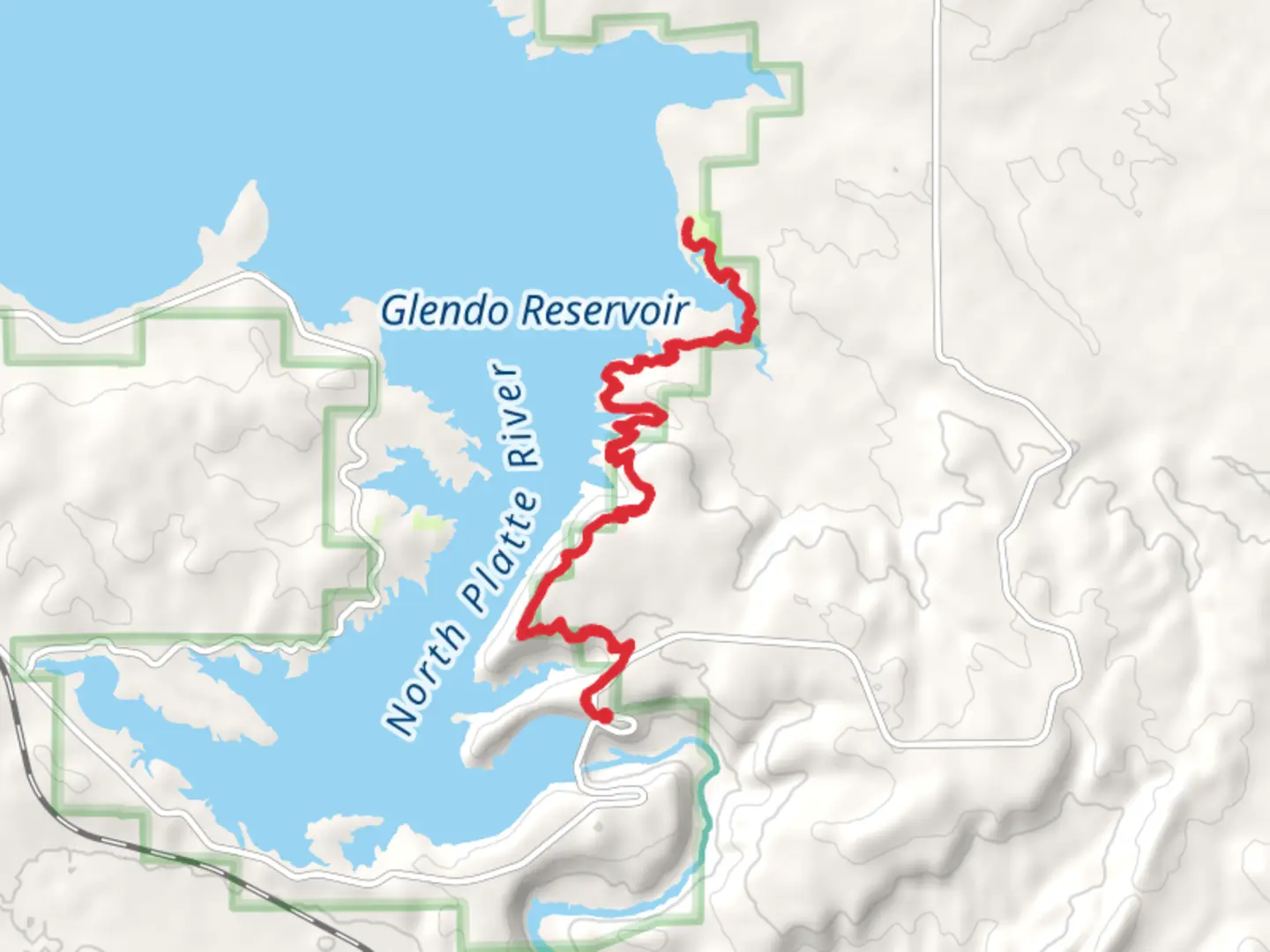
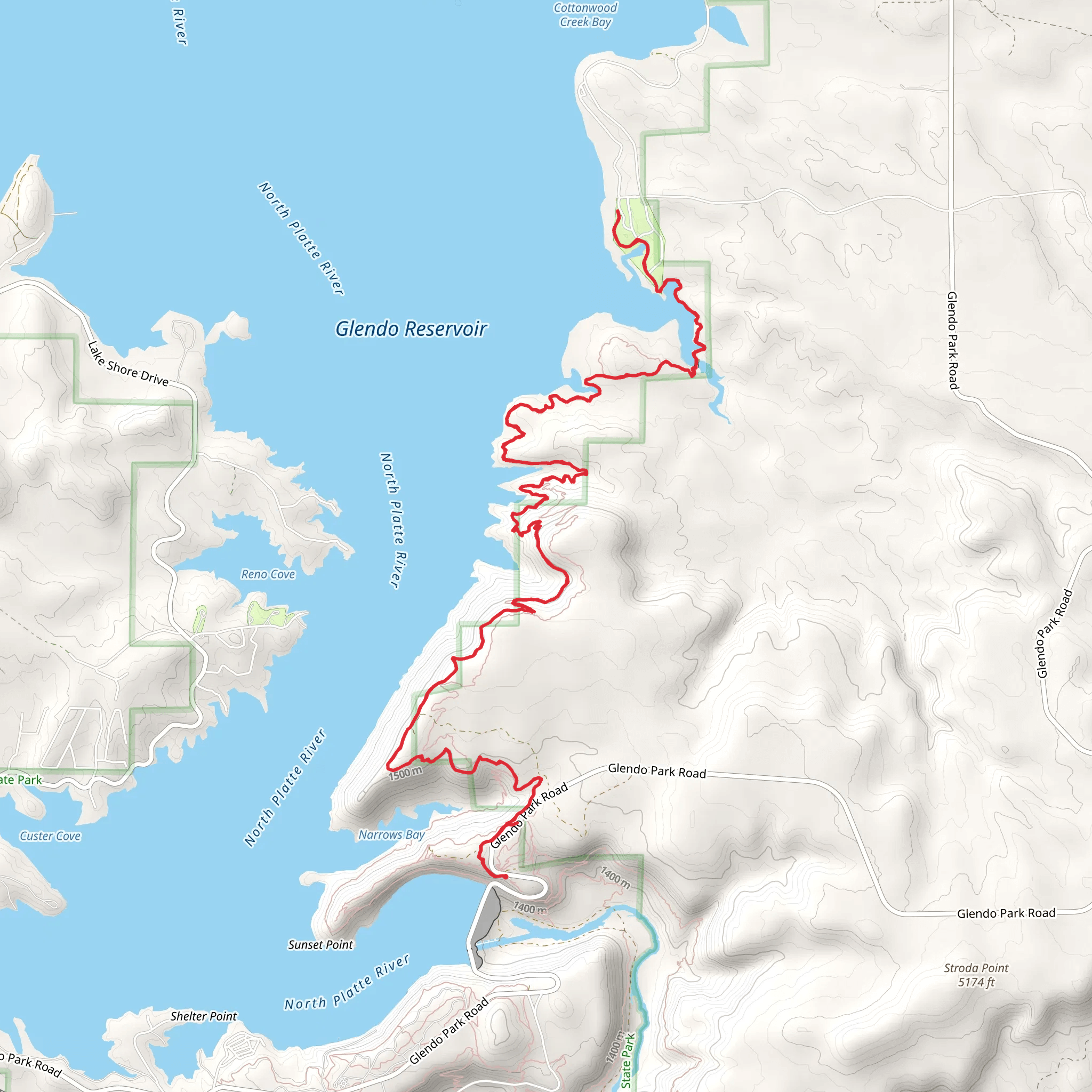
Starting near Platte County, Wyoming, this 24 km (approximately 15 miles) out-and-back trail offers a moderate challenge with an elevation gain of around 700 meters (2,300 feet). The trailhead is accessible by car, with the nearest significant landmark being the town of Wheatland, Wyoming. From Wheatland, head west on WY-34 for about 20 miles until you reach the trailhead parking area.
Trail Overview
The trail begins with a gentle ascent through a mixed forest of pine and juniper, providing ample shade and a cool start to your hike. As you progress, the path becomes steeper, leading you to the first significant viewpoint at around 5 km (3 miles) in, where you can catch your breath and take in panoramic views of the surrounding Platte County landscape.
Key Landmarks and Points of Interest
#### Narrows Bluff
At approximately 8 km (5 miles) from the trailhead, you'll reach Narrows Bluff. This section of the trail offers stunning vistas of the North Platte River winding through the valley below. The bluff is a great spot for a break and some photography. Be cautious here, as the edges can be steep and the winds strong.
#### Sandy Beach Dune Campground
Continuing on, the trail descends slightly before leveling out as you approach the Sandy Beach Dune Campground at around 12 km (7.5 miles). This area is known for its unique sand dunes, which are a rarity in this part of Wyoming. The campground is a perfect spot for an overnight stay if you wish to break the hike into two days. Facilities here are basic, so ensure you bring enough water and supplies.
Flora and Fauna
The trail is rich in biodiversity. In the lower elevations, you’ll encounter a variety of wildflowers, especially in the spring and early summer. As you climb higher, the flora transitions to hardy alpine species. Wildlife is abundant; keep an eye out for mule deer, elk, and the occasional black bear. Birdwatchers will enjoy spotting raptors such as hawks and eagles soaring above the bluffs.
Historical Significance
This region holds historical significance dating back to the Native American tribes who originally inhabited the area. The North Platte River was a crucial water source and travel route for these tribes. Later, during the westward expansion, the river served as a guide for pioneers and settlers. Remnants of old wagon trails can still be found near the Narrows Bluff, offering a glimpse into the past.
Navigation and Safety
Given the moderate difficulty of the trail, it’s advisable to use a reliable navigation tool like HiiKER to stay on track. The trail is well-marked, but weather conditions can change rapidly, especially at higher elevations. Always check the weather forecast before setting out and be prepared for sudden changes.
Getting There
For those relying on public transport, the nearest major city is Cheyenne, Wyoming. From Cheyenne, you can take a bus to Wheatland and then arrange for a taxi or rideshare to the trailhead. However, the most convenient way to reach the trailhead is by car, with ample parking available at the start of the trail.
This trail offers a blend of natural beauty, historical intrigue, and a moderate physical challenge, making it a rewarding experience for any hiker.
What to expect?
Activity types
Comments and Reviews
User comments, reviews and discussions about the Sandy Beach Dune Campground via Narrows Bluff, Wyoming.
4.49
average rating out of 5
39 rating(s)
