Download
Preview
Add to list
More
11.0 km
~2 hrs 55 min
432 m
Loop
“The Snow Pass Loop offers a rewarding 11 km hike through diverse wildlife, meadows, and panoramic vistas.”
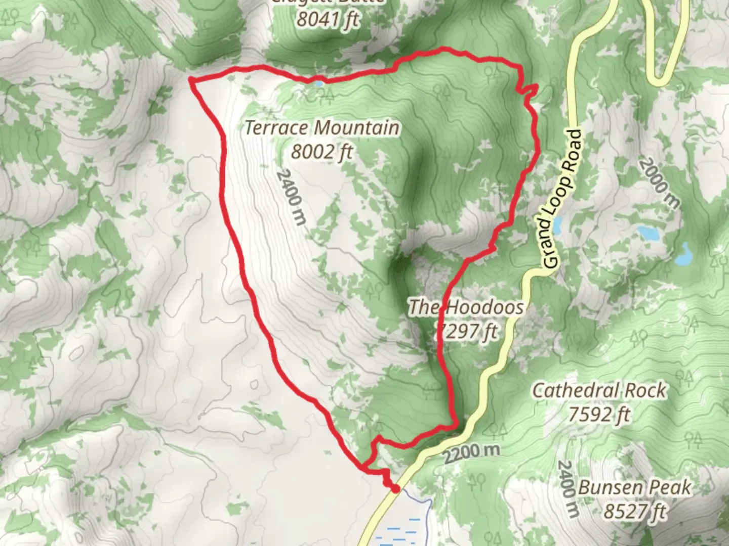
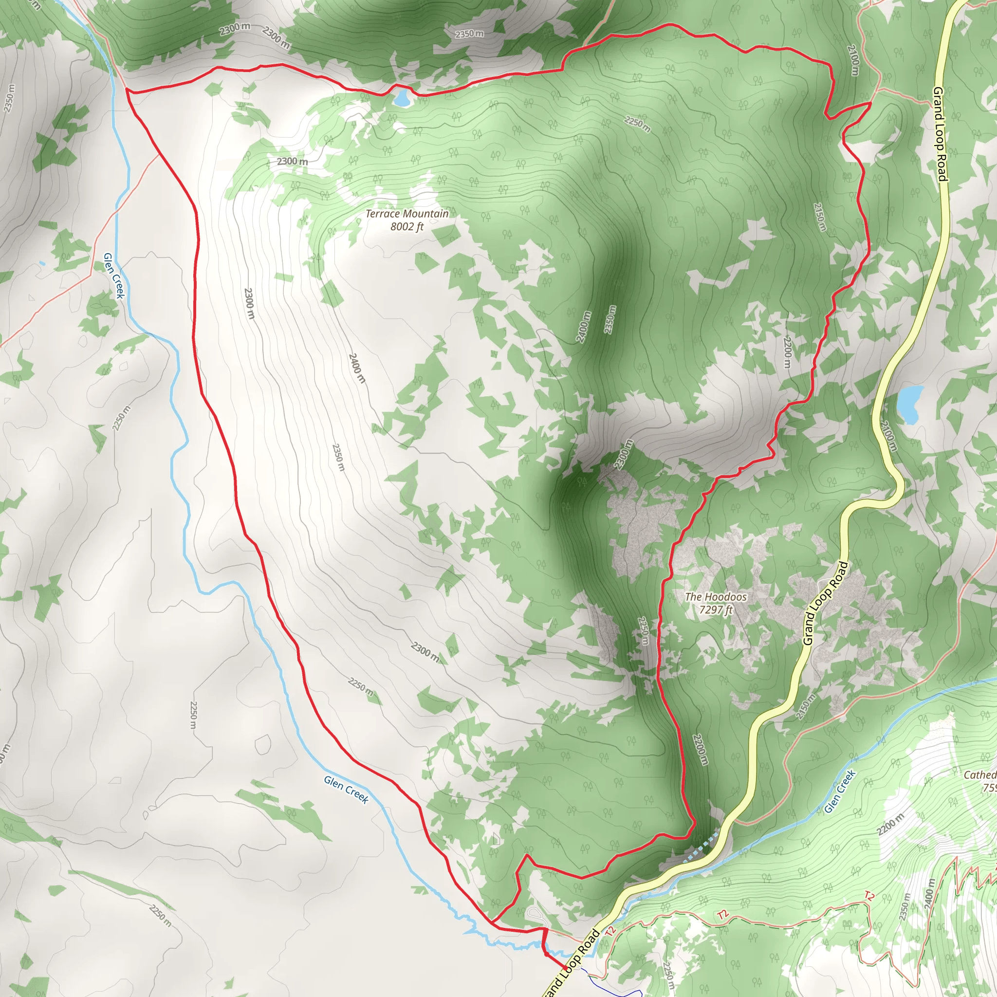
Starting your adventure near Park County, Wyoming, the Snow Pass Loop offers a captivating 11 km (approximately 6.8 miles) journey with an elevation gain of around 400 meters (1,312 feet). This loop trail is rated as medium difficulty, making it suitable for moderately experienced hikers looking for a rewarding day hike.
Getting There To reach the trailhead, you can drive or use public transport. If driving, head towards Gardiner, Montana, which is the nearest town with significant amenities. From Gardiner, take the US-89 South for about 5 miles until you reach the trailhead near the Mammoth Hot Springs area in Yellowstone National Park. For those relying on public transport, the nearest major hub is Bozeman, Montana. From Bozeman, you can catch a shuttle or bus service to Gardiner, and then a local taxi or shuttle to the trailhead.
Trail Overview The Snow Pass Loop begins with a gentle ascent through a mixed forest of lodgepole pines and Douglas firs. The initial 2 km (1.2 miles) of the trail are relatively easy, with an elevation gain of about 100 meters (328 feet). As you hike, keep an eye out for the diverse wildlife that inhabits this region, including elk, deer, and occasionally black bears.
Significant Landmarks and Nature At around the 3 km (1.9 miles) mark, you'll reach a scenic overlook that provides stunning views of the Gallatin Range. This is a great spot to take a break and enjoy the panoramic vistas. Continuing on, the trail becomes steeper, gaining another 150 meters (492 feet) over the next 2 km (1.2 miles). This section is more challenging but offers the reward of lush meadows filled with wildflowers during the summer months.
Historical Significance The Snow Pass area holds historical significance as it was once a route used by Native American tribes for hunting and trading. The region is also part of the Greater Yellowstone Ecosystem, one of the largest nearly intact temperate-zone ecosystems on Earth. This makes it a vital area for conservation and a living laboratory for ecological studies.
Navigation and Safety As you approach the 7 km (4.3 miles) mark, the trail levels out and meanders through a series of alpine meadows. This is a good place to use the HiiKER app for navigation, as the trail can become less distinct in these open areas. The final 4 km (2.5 miles) of the loop descend gradually back to the trailhead, passing through a series of small creeks and dense forest.
Wildlife and Flora Throughout the hike, you'll encounter a variety of flora and fauna. The meadows are home to colorful wildflowers such as lupines, Indian paintbrush, and columbines. Birdwatchers will also find this trail rewarding, with species like the Clark's nutcracker and the mountain bluebird frequently spotted.
Final Stretch As you near the end of the loop, the trail re-enters the forest, providing a cool, shaded environment perfect for the final stretch of your hike. The descent is gentle, making it a pleasant end to a moderately challenging hike.
Remember to carry sufficient water, snacks, and a first-aid kit. Always check the weather forecast before heading out and be prepared for sudden changes in weather conditions. Happy hiking!
What to expect?
Activity types
Comments and Reviews
User comments, reviews and discussions about the Snow Pass Loop, Wyoming.
4.51
average rating out of 5
72 rating(s)
