Download
Preview
Add to list
More
35.8 km
~2 days
661 m
Multi-Day
“Embark on a scenic 22-mile trek through wildlife-rich Pelican Valley to the panoramic summit of Pelican Cone.”
Embarking on the Pelican Cone via Pelican Valley Trail, hikers will traverse approximately 36 kilometers (about 22 miles) with an elevation gain of around 600 meters (nearly 2000 feet). This out-and-back journey begins near Park County, Wyoming, and is rated as medium difficulty, offering a blend of scenic vistas and wildlife encounters.
Getting to the Trailhead To reach the trailhead, you can drive or take public transportation to the Fishing Bridge Visitor Center in Yellowstone National Park. From there, head east on the Grand Loop Road for a short distance to find the trailhead parking area. It's a popular starting point, so arriving early is advisable to secure a parking spot.
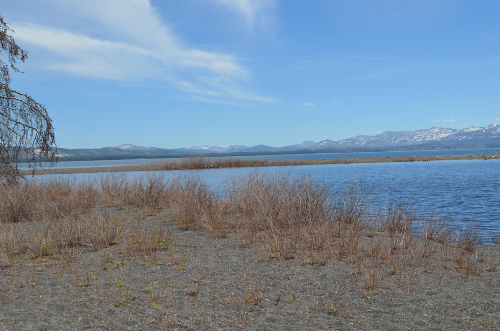
The Journey Through Pelican Valley As you set out on the trail, you'll be enveloped by the vast expanse of Pelican Valley, known for its rich biodiversity and historical significance. The valley was once a thoroughfare for Native American tribes and later, explorers and settlers. Keep an eye out for informational plaques that detail the area's past.
The first section of the trail is relatively flat, meandering through open meadows and sagebrush. This area is a prime habitat for bison, and it's not uncommon to see these majestic creatures grazing. Remember to maintain a safe distance from all wildlife.
Wildlife and Safety Precautions Around 5 kilometers (3 miles) in, the trail enters a denser forested area. This is prime grizzly bear territory, so hikers should be bear-aware, making noise as they go and carrying bear spray. The trail is also home to wolves, elk, and a variety of bird species, including the trail's namesake, the American white pelican.
Climbing Pelican Cone The ascent to Pelican Cone begins after about 14 kilometers (8.7 miles). The climb is steady but not overly steep, and as you gain elevation, you'll be rewarded with panoramic views of the surrounding mountains and valleys. The summit of Pelican Cone sits at an elevation of approximately 2,800 meters (9,186 feet), offering a breathtaking vantage point.
Descent and Return After taking in the views from Pelican Cone, hikers will retrace their steps back down the trail. The descent is generally easier, but it's important to remain cautious on potentially loose terrain.
Preparation and Navigation Before setting out, hikers should be prepared with adequate water, food, and layers for changing weather conditions. It's also wise to check in with the local ranger station for any trail updates or wildlife activity. For navigation, HiiKER is an excellent tool to keep track of your progress and ensure you're on the right path.
Seasonal Considerations The best time to hike this trail is from late June to October, as the snow has typically melted and the trail is more accessible. However, weather in the mountains can be unpredictable, so always check the forecast before departing.
Environmental Stewardship Lastly, it's crucial to practice Leave No Trace principles to preserve the natural beauty and ecological integrity of Pelican Valley for future generations to enjoy. Pack out all trash, stay on designated trails, and respect wildlife habitats.
By following these guidelines and being prepared, hikers can have a memorable and safe experience on the Pelican Cone via Pelican Valley Trail.
Comments and Reviews
User comments, reviews and discussions about the Pelican Cone via Pelican Valley Trail, Wyoming.
4.6
average rating out of 5
20 rating(s)

