Download
Preview
Add to list
More
36.2 km
~1 day 4 hrs
1237 m
Loop
“Embark on a 36-km adventure through diverse landscapes, rich history, and abundant wildlife near Park County, Wyoming.”
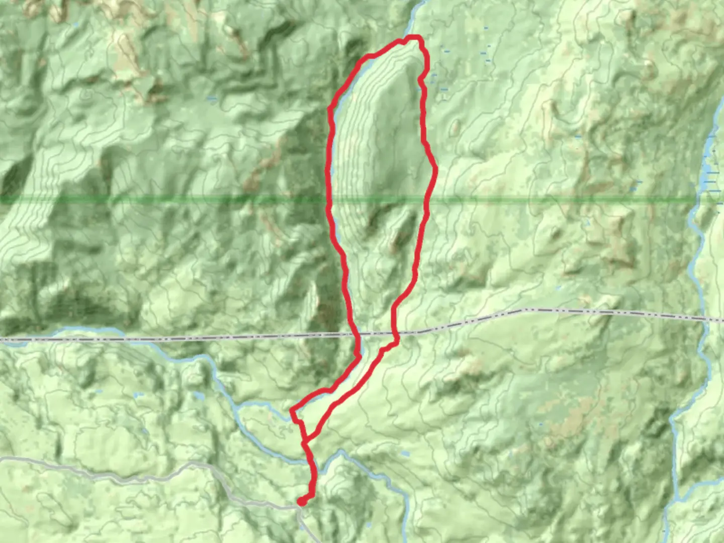
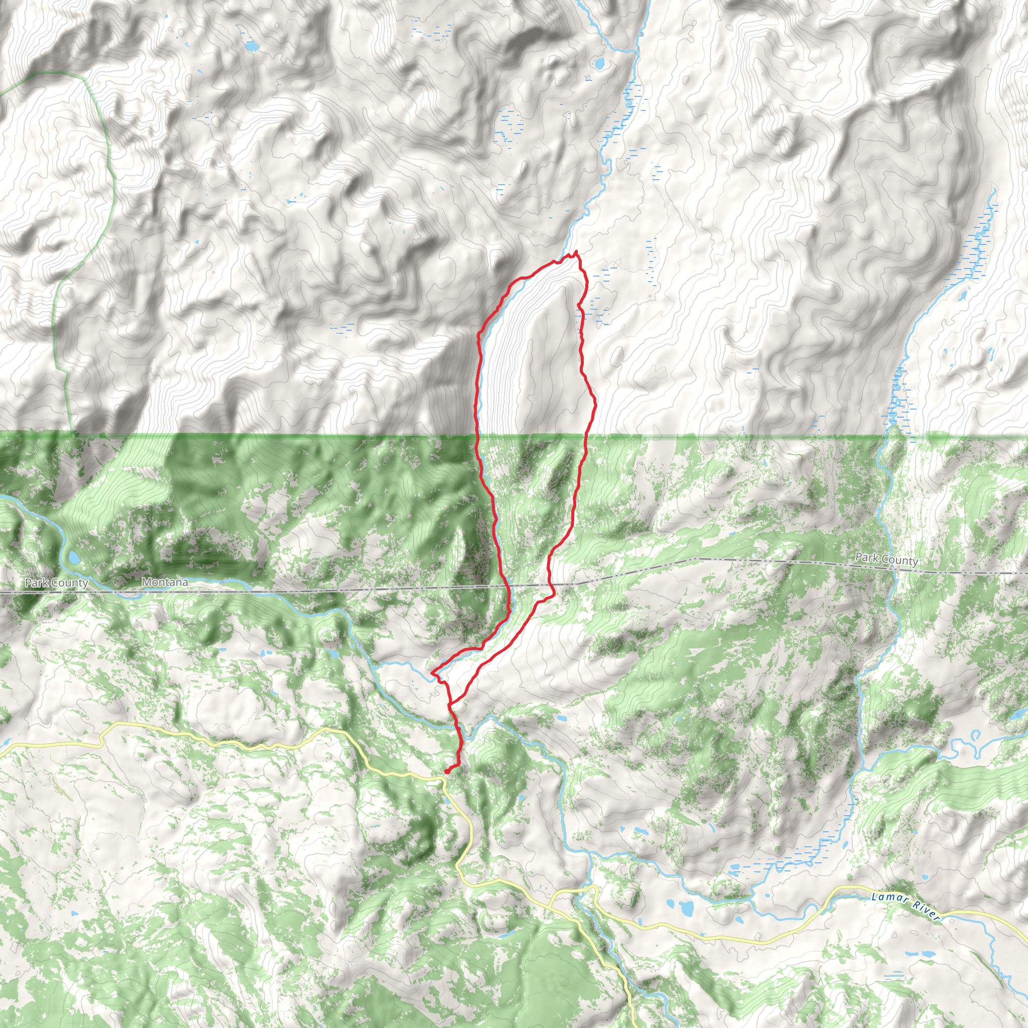
Starting your adventure near Park County, Wyoming, the Hellroaring Creek Trail and Coyote Creek Trail loop spans approximately 36 kilometers (22 miles) with an elevation gain of around 1200 meters (3937 feet). This medium-difficulty trail offers a diverse range of landscapes, from lush meadows to dense forests, and provides ample opportunities for wildlife sightings and scenic vistas.
Getting There To reach the trailhead, you can drive to the nearest significant landmark, which is the Cooke City-Silver Gate area. From there, head towards the Hellroaring Creek Trailhead. If you're relying on public transport, the closest major city is Cody, Wyoming. From Cody, you can take a shuttle service or a taxi to Cooke City-Silver Gate, and then proceed to the trailhead.
Trail Overview The loop begins with a gradual ascent through a dense forest, where you'll encounter a variety of flora and fauna. Keep an eye out for elk, deer, and even the occasional black bear. The first significant landmark is Hellroaring Creek, approximately 5 kilometers (3.1 miles) from the start. This creek is a great spot for a short break and some photos.
Hellroaring Creek to Coyote Creek As you continue, the trail follows the creek for another 3 kilometers (1.9 miles) before veering off towards a series of switchbacks. This section is moderately challenging, with an elevation gain of about 300 meters (984 feet). The switchbacks lead you to a plateau offering panoramic views of the surrounding mountains and valleys.
Historical Significance This region has a rich history, with evidence of Native American tribes who once roamed these lands. The trail itself was used by early trappers and explorers in the 19th century. Keep an eye out for historical markers and plaques that provide more information about the area's past.
Coyote Creek Section After reaching the plateau, the trail descends towards Coyote Creek. This section is less strenuous but requires careful navigation. Using HiiKER can be particularly helpful here to ensure you stay on the correct path. The descent is about 4 kilometers (2.5 miles) with an elevation loss of approximately 200 meters (656 feet).
Wildlife and Nature Coyote Creek is a hotspot for wildlife. You might spot beavers, otters, and a variety of bird species. The creek itself is crystal clear, making it a perfect spot for a refreshing break. The trail then follows the creek for another 6 kilometers (3.7 miles), offering a relatively flat and easy walk.
Final Stretch The last section of the trail loops back towards the starting point, with a gradual ascent of about 200 meters (656 feet) over 5 kilometers (3.1 miles). This part of the trail takes you through open meadows, where wildflowers bloom in abundance during the spring and summer months.
Preparation and Safety Given the medium difficulty rating, it's essential to be well-prepared. Carry enough water, snacks, and a first-aid kit. Weather can be unpredictable, so pack layers and rain gear. Always let someone know your hiking plans and estimated return time. Using HiiKER for navigation will help you stay on track and provide real-time updates on trail conditions.
This trail offers a perfect blend of natural beauty, historical significance, and moderate physical challenge, making it a rewarding experience for any hiker.
What to expect?
Activity types
Comments and Reviews
User comments, reviews and discussions about the Hellroaring Creek Trail and Coyote Creek Trail, Wyoming.
4.43
average rating out of 5
40 rating(s)
