Download
Preview
Add to list
More
Trail length
16.1 km
Time
~4 hrs 15 min
Elevation Gain
625 m
Hike Type
Loop
“Embark on the Garnet Hill Loop for a diverse 16-km adventure filled with panoramic views and historical intrigue.”
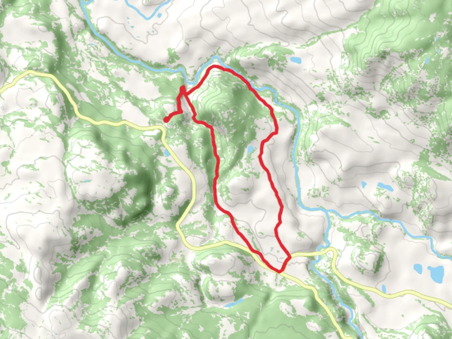
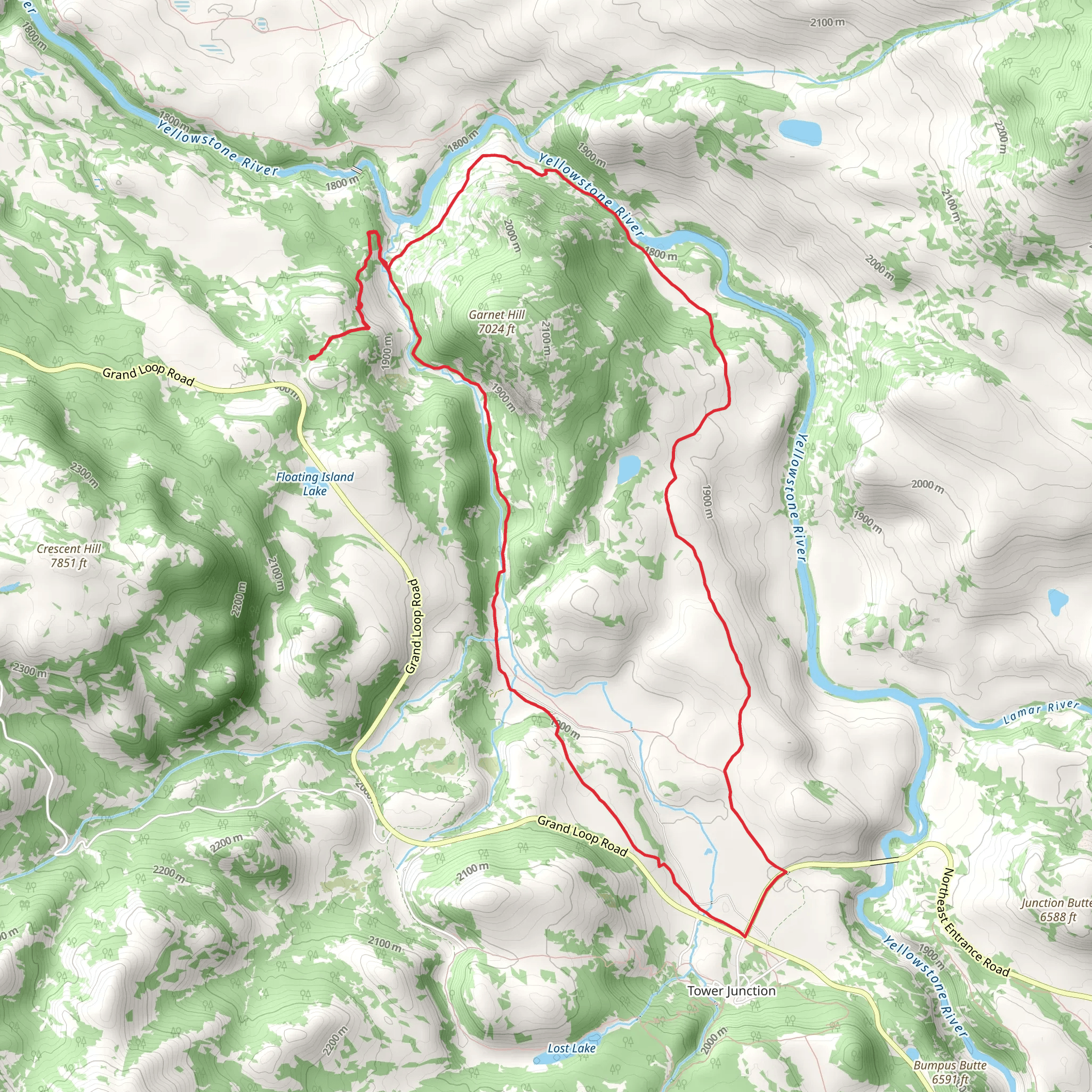
Starting your adventure near Park County, Wyoming, the Garnet Hill Loop spans approximately 16 kilometers (around 10 miles) with an elevation gain of about 600 meters (approximately 1,970 feet). This loop trail is rated as medium difficulty, making it suitable for moderately experienced hikers.
Getting There To reach the trailhead, you can drive or use public transport. If driving, head towards Cody, Wyoming, and follow the signs to the Shoshone National Forest. The nearest significant landmark is the Buffalo Bill Dam Visitor Center, located at 4808 North Fork Highway, Cody, WY 82414. From there, it's a short drive to the trailhead. Public transport options are limited, so renting a car or arranging a shuttle service from Cody is advisable.
Trail Overview The Garnet Hill Loop offers a diverse hiking experience, featuring a mix of forested areas, open meadows, and rugged terrain. The trail begins with a gentle ascent through a dense forest of lodgepole pines and Douglas firs. After about 3 kilometers (1.9 miles), you'll reach a clearing that offers your first panoramic views of the Absaroka Range.
Significant Landmarks and Points of Interest - **Buffalo Bill Reservoir**: Approximately 5 kilometers (3.1 miles) into the hike, you'll come across a viewpoint overlooking the Buffalo Bill Reservoir. This is a great spot to take a break and enjoy the scenery. - **Garnet Hill**: The trail's namesake, Garnet Hill, is located around the 8-kilometer (5-mile) mark. This area is known for its garnet deposits, and you might even find some garnet stones scattered along the trail. The hill also offers a challenging but rewarding climb with stunning views from the top. - **Wildlife Viewing**: Keep an eye out for local wildlife, including mule deer, elk, and occasionally black bears. Birdwatchers will also enjoy spotting various species such as the Clark's nutcracker and the mountain bluebird.
Elevation and Terrain The trail's elevation gain is gradual but steady. The first half of the loop involves most of the climbing, with an elevation gain of about 400 meters (1,310 feet) over the first 8 kilometers (5 miles). The second half of the loop is more level, with occasional rolling hills. The terrain varies from well-trodden paths to rocky sections, so sturdy hiking boots are recommended.
Historical Significance The area around Garnet Hill has a rich history tied to early Native American tribes and later, European settlers. The Shoshone and Crow tribes originally inhabited this region, using the land for hunting and gathering. In the late 19th century, the area saw an influx of miners searching for precious stones and minerals, including garnets, which gave the hill its name.
Navigation and Safety Given the trail's moderate difficulty and varying terrain, it's advisable to use a reliable navigation tool like HiiKER to stay on track. The trail is well-marked, but having a digital map can provide extra assurance. Always carry sufficient water, snacks, and a first-aid kit. Weather can change rapidly in this region, so pack layers and be prepared for sudden shifts in temperature.
Final Stretch As you complete the loop, the trail descends gradually back into the forested area, leading you back to the trailhead. This final section is a great opportunity to reflect on the diverse landscapes and rich history you've encountered along the way.
What to expect?
no-dogs
forest
rivers
scenic-views
wildflowers
wildlife
Activity types
hiking
Comments and Reviews
User comments, reviews and discussions about the Garnet Hill Loop, Wyoming.
4.54
average rating out of 5
70 rating(s)
