Download
Preview
Add to list
More
32.3 km
~1 day 3 hrs
1089 m
Out and Back
“Embark on the Dead Indian Meadows Trail for a 32 km adventure through lush forests, meadows, and historical landmarks.”
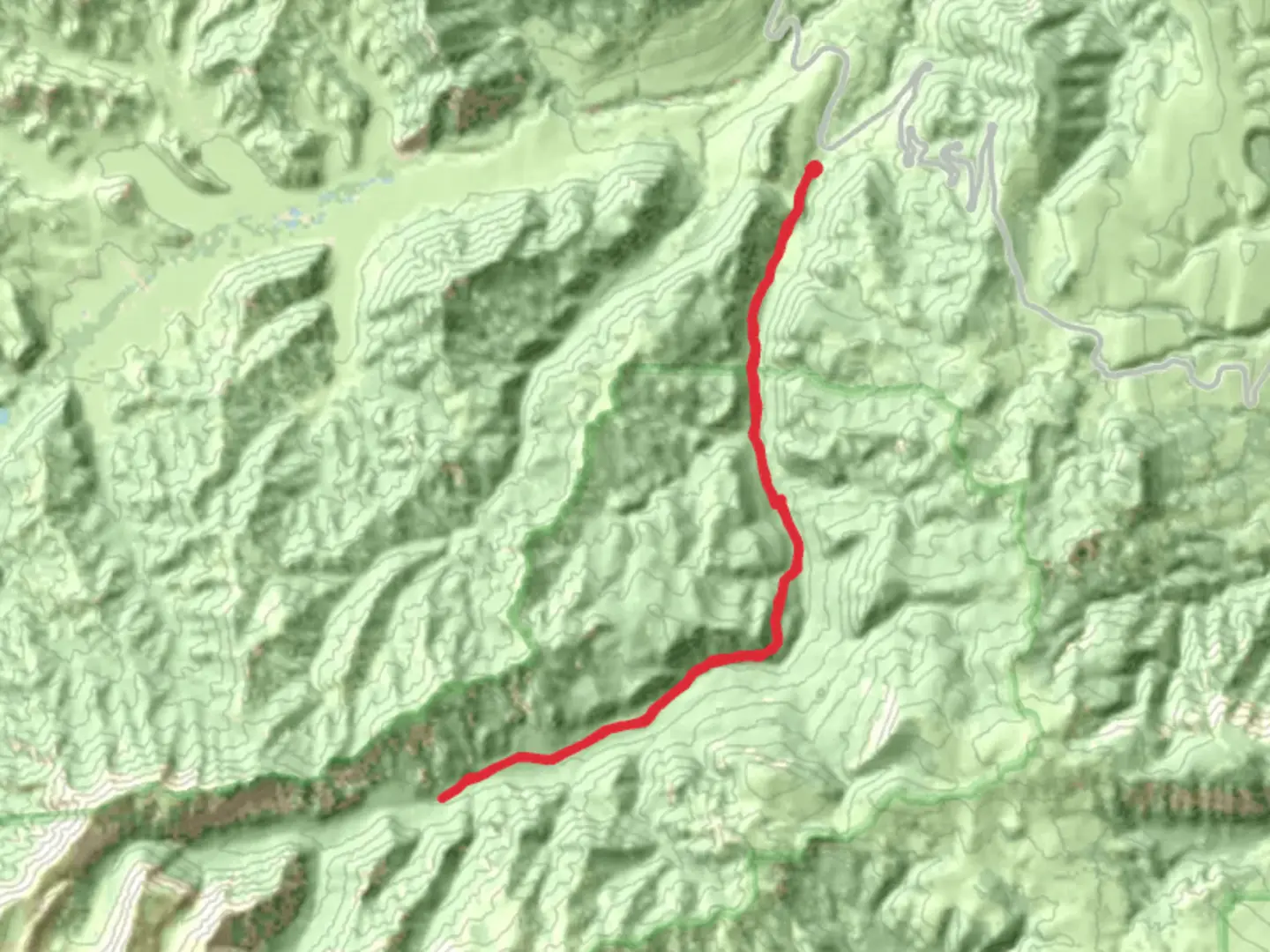
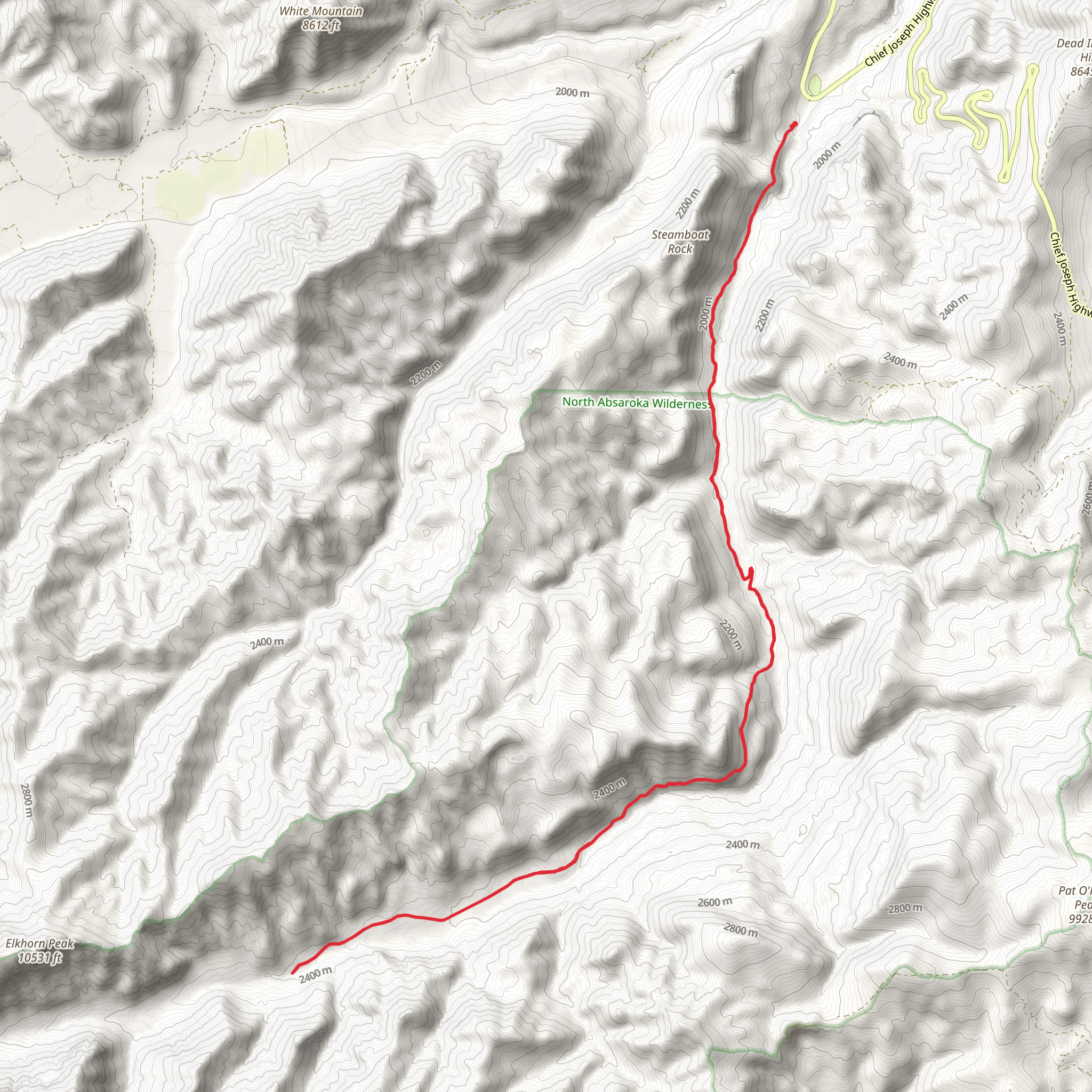
Starting your journey near Park County, Wyoming, the Dead Indian Meadows Trail offers an invigorating 32 km (20 miles) out-and-back adventure with an elevation gain of approximately 1000 meters (3280 feet). This trail is rated as medium difficulty, making it suitable for moderately experienced hikers.### Getting There To reach the trailhead, you can drive or use public transportation. If driving, head towards the nearest known landmark, the Dead Indian Campground, which is easily accessible from Cody, Wyoming. From Cody, take WY-120 N and then turn onto Chief Joseph Scenic Byway (WY-296). Follow this scenic route until you reach the campground, where you can park your vehicle. For those relying on public transport, buses from Cody can drop you off at the nearest stop, from where you may need to arrange a taxi or rideshare to the campground.### Trail Overview The trail begins at the Dead Indian Campground, immediately immersing you in the lush, forested landscape of the Shoshone National Forest. The initial section of the trail is relatively flat, allowing you to ease into the hike. As you progress, the trail gradually ascends, offering panoramic views of the Absaroka Range.### Significant Landmarks and Elevation At around 5 km (3 miles) in, you will encounter the first significant elevation gain, climbing approximately 200 meters (656 feet). This section can be a bit challenging, but the reward is a stunning vista of Dead Indian Meadows, a sprawling, verdant expanse that is particularly beautiful in the spring and summer months when wildflowers are in full bloom.Continuing onward, the trail meanders through dense forests and open meadows. At the 10 km (6.2 miles) mark, you will reach a small, serene lake, an ideal spot for a short break. The elevation gain here is about 400 meters (1312 feet) from the trailhead, providing a good workout while still being manageable.### Wildlife and Nature The trail is rich in wildlife. Keep an eye out for elk, deer, and the occasional black bear. Birdwatchers will also be delighted by the variety of species, including bald eagles and osprey. Always carry bear spray and make noise to avoid surprising any wildlife.### Historical Significance The region holds historical significance, particularly related to the Nez Perce War of 1877. The trail and surrounding areas were part of the route taken by the Nez Perce tribe as they fled from the U.S. Army. Informational plaques along the trail provide insights into this poignant chapter of American history.### Navigation and Safety Given the trail's moderate difficulty and the potential for sudden weather changes, it's crucial to be well-prepared. Use the HiiKER app for real-time navigation and updates. The app will help you stay on track and provide information on any trail closures or hazards.### Final Stretch As you approach the 16 km (10 miles) mark, the trail reaches its highest point with an elevation gain of around 1000 meters (3280 feet). The views from here are breathtaking, offering a sweeping panorama of the surrounding mountains and valleys. This is the turnaround point for the out-and-back trail, so take some time to rest and enjoy the scenery before heading back.The return journey retraces your steps, allowing you to appreciate the landscape from a different perspective. Make sure to leave no trace and respect the natural environment to preserve its beauty for future hikers.
What to expect?
Activity types
Comments and Reviews
User comments, reviews and discussions about the Dead Indian Meadows Trail, Wyoming.
4.4
average rating out of 5
60 rating(s)
