Download
Preview
Add to list
More
24.0 km
~1 day 1 hrs
1319 m
Out and Back
“Explore diverse landscapes and rich history on Wyoming Peak via Shale Creek Road's moderately challenging 24-kilometer hike.”
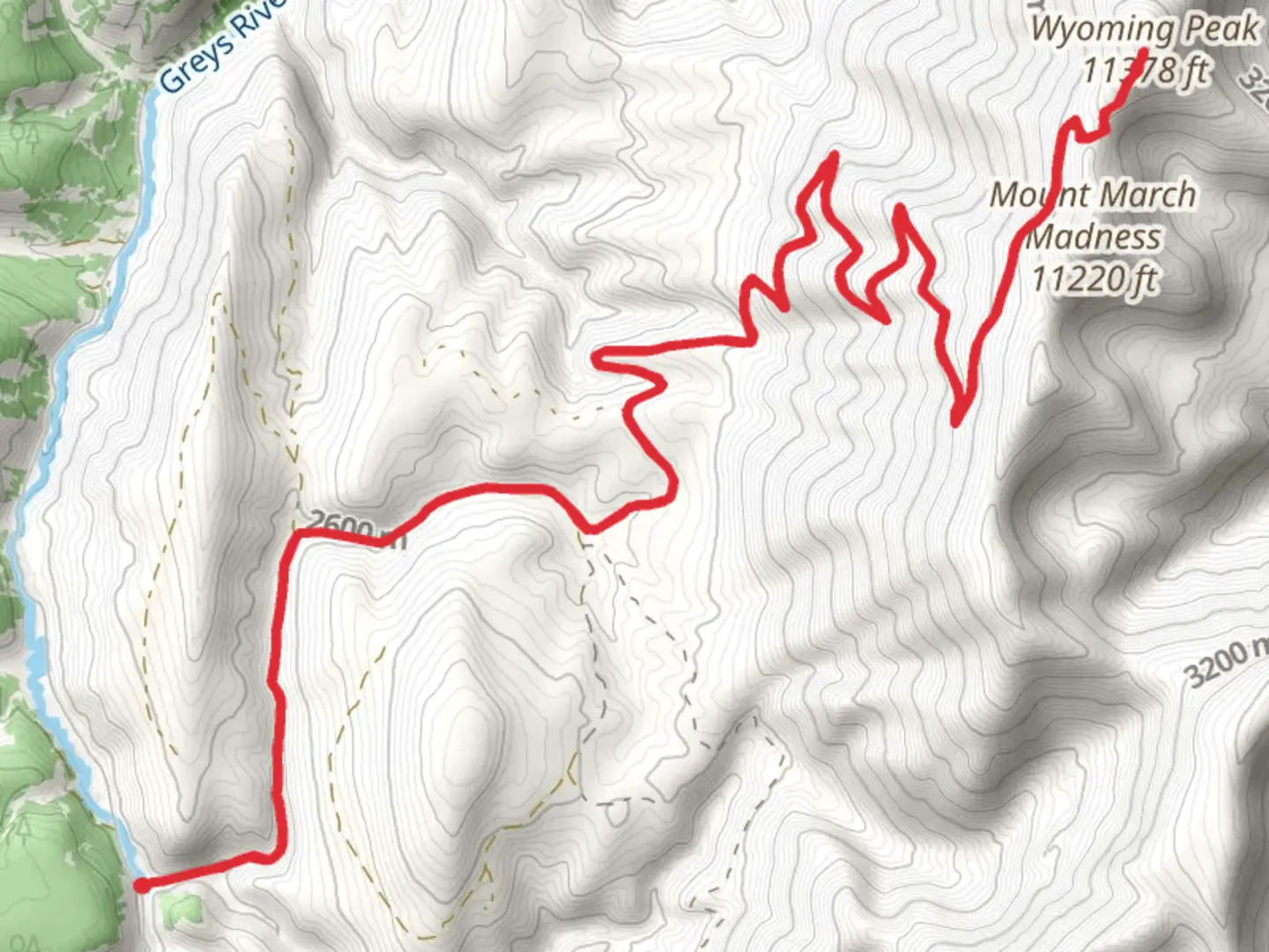
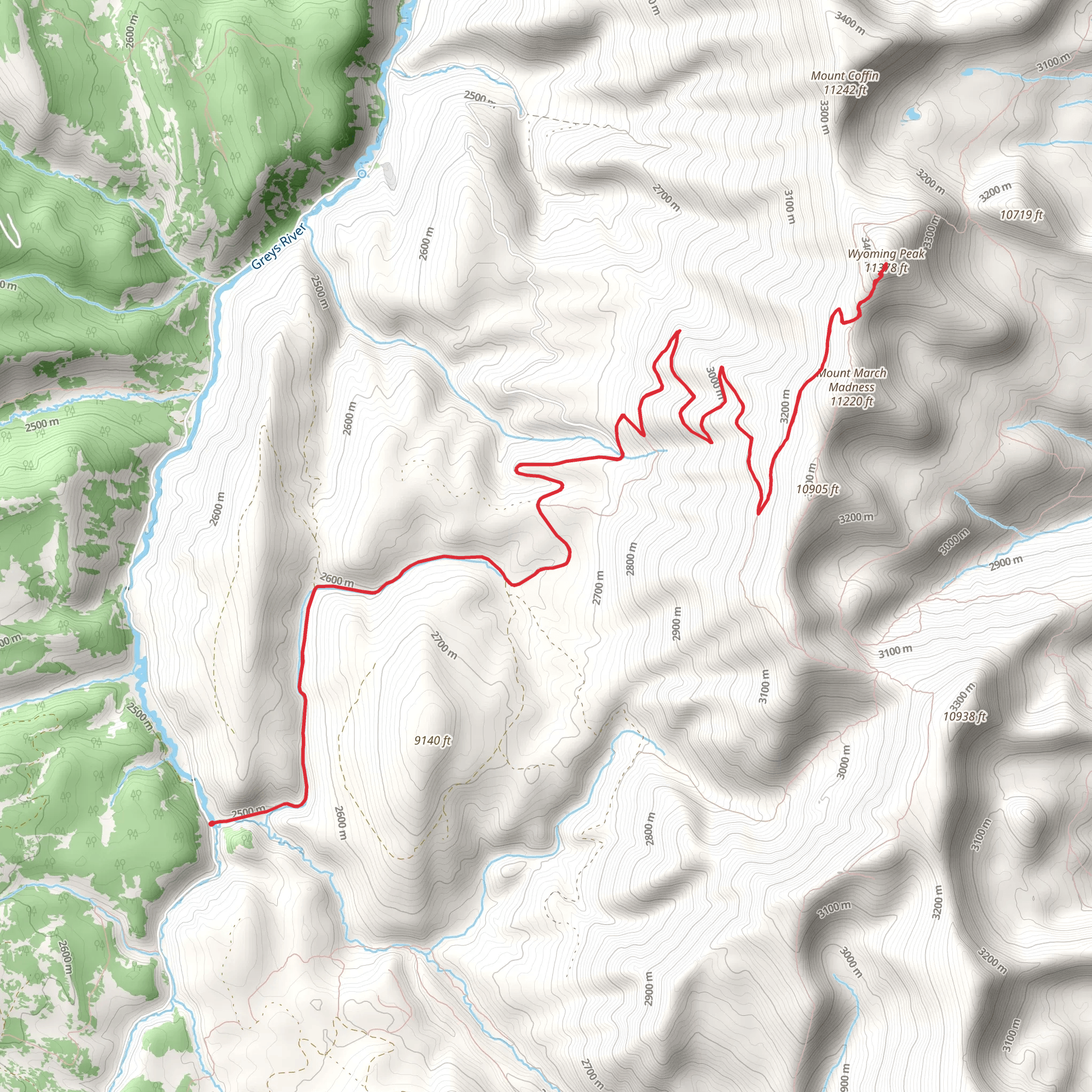
Starting near Lincoln County, Wyoming, this out-and-back trail spans approximately 24 kilometers (15 miles) with an elevation gain of around 1300 meters (4265 feet). The trailhead is accessible by car, and the nearest significant landmark is the town of Afton, Wyoming. Public transport options are limited, so driving is the most practical way to reach the trailhead.
Trail Overview
The Wyoming Peak via Shale Creek Road Out and Back trail offers a moderately challenging hike through the scenic Wyoming Range. The trail begins with a gradual ascent through dense forests of lodgepole pine and spruce, providing ample shade and a cool environment, especially in the early morning hours. As you progress, the trail opens up to expansive meadows filled with wildflowers during the summer months, offering a vibrant display of colors.
Key Landmarks and Elevation Points
- Shale Creek Road (Trailhead): Starting at an elevation of approximately 2,100 meters (6,890 feet), the trailhead is marked by a small parking area. From here, the trail follows Shale Creek Road for the first few kilometers. - Meadow Clearing (5 km / 3.1 miles): At around 5 kilometers (3.1 miles) into the hike, you'll reach a large meadow clearing. This is a great spot to take a break and enjoy the panoramic views of the surrounding mountains. - Midpoint Ridge (12 km / 7.5 miles): The trail continues to climb steadily, reaching a ridge at about 12 kilometers (7.5 miles) with an elevation of around 2,800 meters (9,186 feet). This ridge offers stunning views of the Wyoming Range and is a popular spot for photography. - Wyoming Peak Summit (12 km / 7.5 miles): The final push to the summit involves a steeper ascent, but the effort is rewarded with breathtaking 360-degree views from the top of Wyoming Peak, standing at approximately 3,400 meters (11,155 feet).
Flora and Fauna
The trail is rich in biodiversity. In the lower elevations, you'll encounter dense forests teeming with wildlife such as deer, elk, and occasionally black bears. As you ascend, the vegetation transitions to alpine meadows where marmots and pikas are commonly seen. Birdwatchers will also appreciate the variety of species, including hawks and eagles soaring above.
Historical Significance
The Wyoming Range has a rich history, with evidence of Native American presence dating back thousands of years. The area was also a significant route for early trappers and explorers in the 19th century. Remnants of old mining operations can occasionally be spotted along the trail, offering a glimpse into the region's past.
Navigation and Safety
Given the trail's moderate difficulty, it's advisable to use a reliable navigation tool like HiiKER to stay on track. The trail is well-marked, but weather conditions can change rapidly, especially at higher elevations. Always carry a map, compass, and sufficient water. Be prepared for sudden temperature drops and potential thunderstorms in the afternoon.
Getting There
To reach the trailhead, drive from Afton, Wyoming, heading south on US-89 for about 20 kilometers (12.4 miles) before turning onto Shale Creek Road. Follow this road for another 10 kilometers (6.2 miles) until you reach the parking area. Public transport options are limited, so driving is recommended.
This trail offers a rewarding hike with diverse landscapes, rich history, and abundant wildlife, making it a must-visit for outdoor enthusiasts.
What to expect?
Activity types
Comments and Reviews
User comments, reviews and discussions about the Wyoming Peak via Shale Creek Road Out and Back, Wyoming.
4.43
average rating out of 5
42 rating(s)
