Download
Preview
Add to list
More
28.3 km
~1 day 3 hrs
1533 m
Point-to-Point
“The Middle Ridge Trail offers moderately experienced hikers a 28-kilometer journey through diverse landscapes and rich history.”
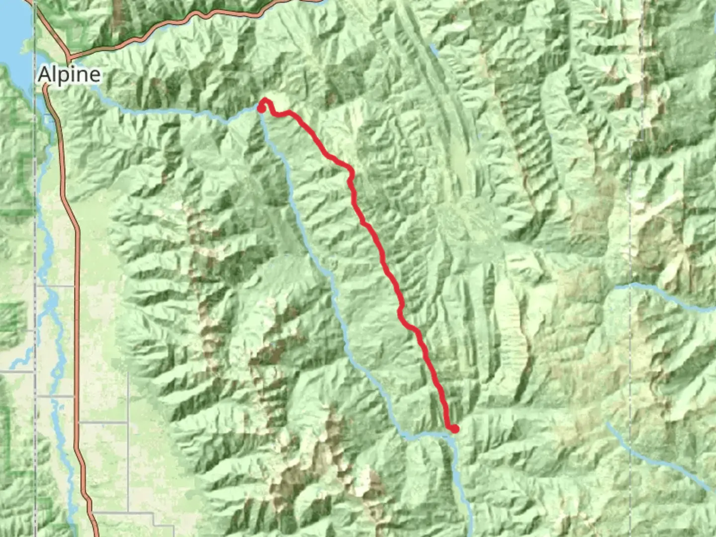
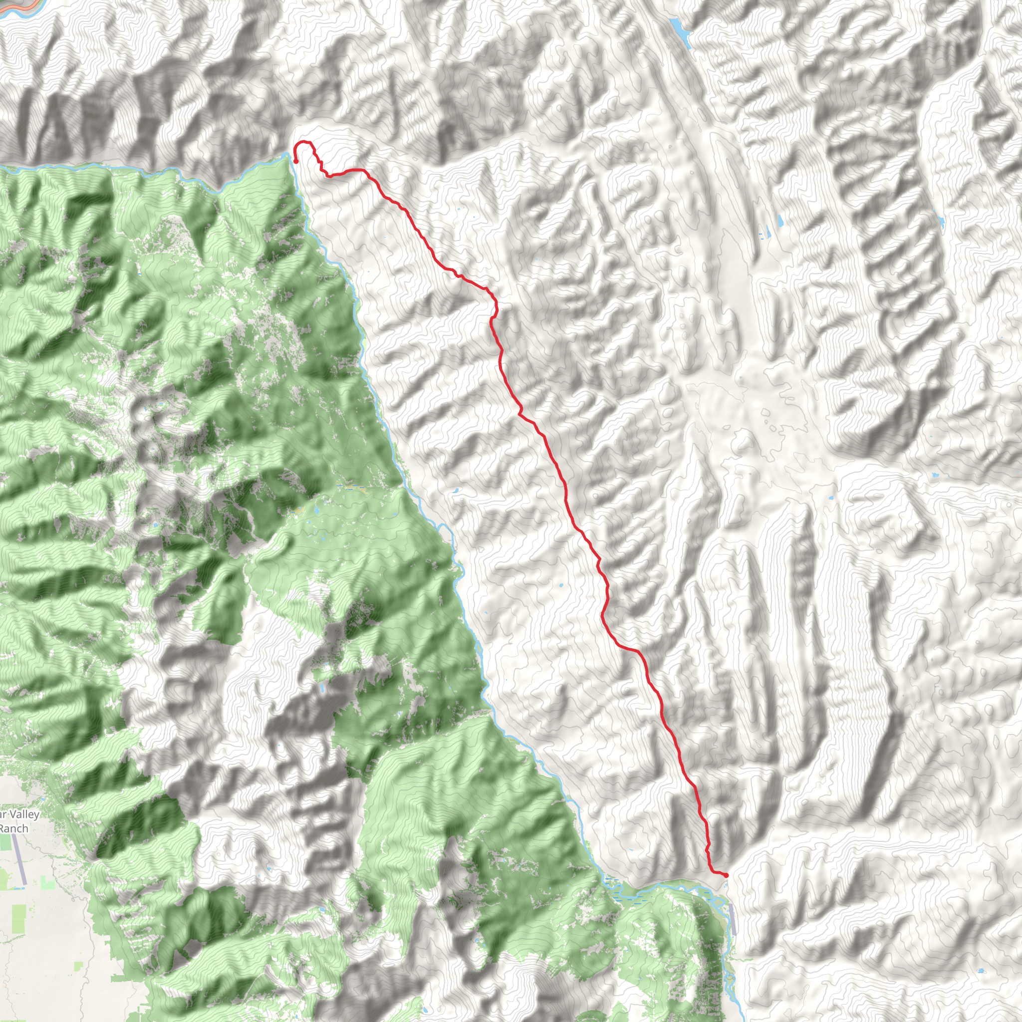
Starting near Lincoln County, Wyoming, the Middle Ridge Trail Point to Point stretches approximately 28 kilometers (about 17.4 miles) with an elevation gain of around 1500 meters (4921 feet). This trail is classified as medium difficulty, making it suitable for moderately experienced hikers.
Getting There To reach the trailhead, you can drive or use public transport. If driving, head towards the nearest significant landmark, which is the town of Kemmerer, Wyoming. From Kemmerer, follow US-189 N for about 20 miles until you reach the trailhead. For those using public transport, the nearest bus station is also in Kemmerer. From there, you may need to arrange a taxi or rideshare to the trailhead.
Trail Overview The Middle Ridge Trail offers a diverse range of landscapes, from dense forests to open meadows. The trail begins with a gentle ascent through a forested area, providing ample shade and a cool start to your hike. After about 5 kilometers (3.1 miles), you will encounter the first significant elevation gain, climbing approximately 300 meters (984 feet) over the next 2 kilometers (1.2 miles).
Key Landmarks and Sections #### Forested Ascent The initial section of the trail is heavily forested, featuring a mix of pine and aspen trees. This part of the trail is relatively easy, with a gradual incline that allows you to warm up before the more challenging sections ahead.
#### Open Meadows Around the 10-kilometer (6.2-mile) mark, the trail opens up into expansive meadows. These meadows are a great spot for a break and offer stunning views of the surrounding mountains. Keep an eye out for local wildlife such as deer and elk, which are commonly seen grazing in this area.
#### Steep Climb The most challenging part of the trail begins around the 15-kilometer (9.3-mile) mark, where you will face a steep climb. This section gains about 500 meters (1640 feet) in elevation over 3 kilometers (1.9 miles). The trail here is rocky and can be slippery, so make sure to have proper hiking boots and trekking poles.
#### Ridge Walk Once you reach the ridge, the trail levels out and offers panoramic views of the Wyoming landscape. This section is relatively flat and runs for about 5 kilometers (3.1 miles). It's a great place to take photos and enjoy the scenery.
Historical Significance The Middle Ridge area has a rich history, with evidence of Native American habitation dating back thousands of years. The trail itself was used by early settlers and trappers in the 19th century. Along the way, you may notice old trail markers and remnants of early campsites.
Wildlife and Flora The trail is home to a variety of wildlife, including deer, elk, and occasionally black bears. Birdwatchers will also find a plethora of species, from hawks to songbirds. The flora varies with elevation, starting with dense pine forests and transitioning to alpine meadows filled with wildflowers in the summer months.
Navigation Given the trail's length and varying terrain, it's advisable to use a reliable navigation tool like HiiKER to keep track of your progress and ensure you stay on the correct path. The trail is well-marked, but having a digital map can be invaluable, especially in the more remote sections.
Final Stretch The final 5 kilometers (3.1 miles) of the trail descend gradually back into a forested area, leading you to the endpoint near the town of Afton, Wyoming. This section is less strenuous and provides a pleasant end to your hike.
By preparing adequately and being aware of the trail's features and challenges, you can fully enjoy the Middle Ridge Trail Point to Point and the natural beauty it offers.
What to expect?
Activity types
Comments and Reviews
User comments, reviews and discussions about the Middle Ridge Trail Point to Point, Wyoming.
4.33
average rating out of 5
39 rating(s)
