Download
Preview
Add to list
More
19.4 km
~1 day 0 hrs
1227 m
Out and Back
“Embark on the Noon Rocks via Ross Lake Trail for breathtaking views, diverse landscapes, and historical intrigue.”
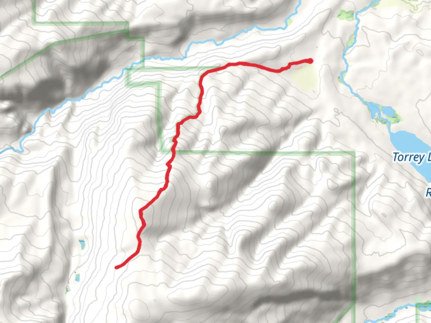
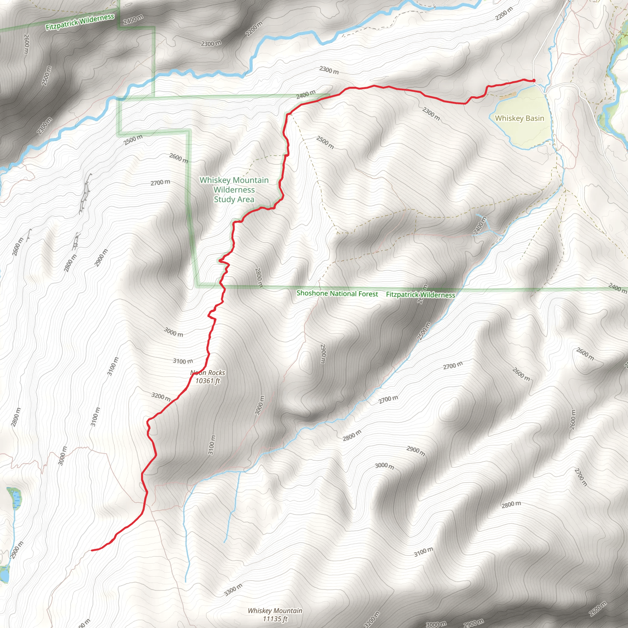
Starting your journey near Fremont County, Wyoming, the Noon Rocks via Ross Lake Trail offers a captivating adventure through diverse landscapes. The trailhead is accessible by car, with parking available nearby. For those relying on public transport, the nearest significant landmark is the town of Dubois, Wyoming. From Dubois, you can arrange a taxi or shuttle service to the trailhead.
Trail Overview
The Noon Rocks via Ross Lake Trail spans approximately 19 kilometers (about 12 miles) with an elevation gain of around 1200 meters (approximately 3937 feet). This out-and-back trail is rated as medium difficulty, making it suitable for hikers with some experience and a good level of fitness.
Initial Ascent and Forested Sections
Starting from the trailhead, the first few kilometers lead you through dense forests of pine and spruce. The initial ascent is gradual, allowing you to acclimate to the elevation gain. Keep an eye out for local wildlife such as mule deer and elk, which are commonly seen in this area. The forested sections provide ample shade, making this part of the hike quite pleasant even on warmer days.
Mid-Trail Landmarks and Ross Lake
Around the 6-kilometer (3.7-mile) mark, you will reach Ross Lake, a serene body of water surrounded by lush vegetation. This is an excellent spot to take a break, enjoy a snack, and perhaps even spot some waterfowl. The elevation gain to this point is moderate, with an increase of about 400 meters (1312 feet).
Climbing Towards Noon Rocks
As you continue past Ross Lake, the trail becomes steeper and more rugged. The next 4 kilometers (2.5 miles) involve a significant elevation gain of approximately 600 meters (1968 feet). This section is more challenging, with rocky terrain and switchbacks. Ensure you have sturdy hiking boots and trekking poles for stability. The effort is well worth it, as the views become increasingly panoramic.
Reaching Noon Rocks
At around the 10-kilometer (6.2-mile) mark, you will arrive at Noon Rocks. These impressive rock formations offer stunning views of the surrounding valleys and peaks. The elevation here is about 1200 meters (3937 feet) higher than the trailhead. Take some time to explore the area, enjoy the vistas, and perhaps have lunch before beginning your descent.
Descent and Return
The return journey follows the same path, allowing you to revisit the beautiful landscapes and landmarks you encountered on the way up. The descent is easier on the legs but requires careful footing, especially on the steeper sections.
Historical Significance
The region around Fremont County has a rich history, with Native American tribes such as the Shoshone having inhabited the area for centuries. The trail itself passes through lands that were once traversed by early explorers and fur trappers. Keep an eye out for historical markers and interpretive signs that provide insights into the area's past.
Navigation and Safety
For navigation, it is highly recommended to use the HiiKER app, which provides detailed maps and real-time updates. Ensure you carry enough water, snacks, and a first aid kit. Weather can change rapidly in this region, so pack layers and be prepared for sudden shifts in temperature.
Embarking on the Noon Rocks via Ross Lake Trail promises a rewarding experience filled with natural beauty, wildlife sightings, and a touch of historical intrigue.
What to expect?
Activity types
Comments and Reviews
User comments, reviews and discussions about the Noon Rocks via Ross Lake Trail, Wyoming.
4.5
average rating out of 5
26 rating(s)
