Download
Preview
Add to list
More
27.7 km
~1 day 2 hrs
1039 m
Out and Back
“Explore Wyoming's rich history and stunning landscapes on the rewarding 28-km Middle Fork Trail.”
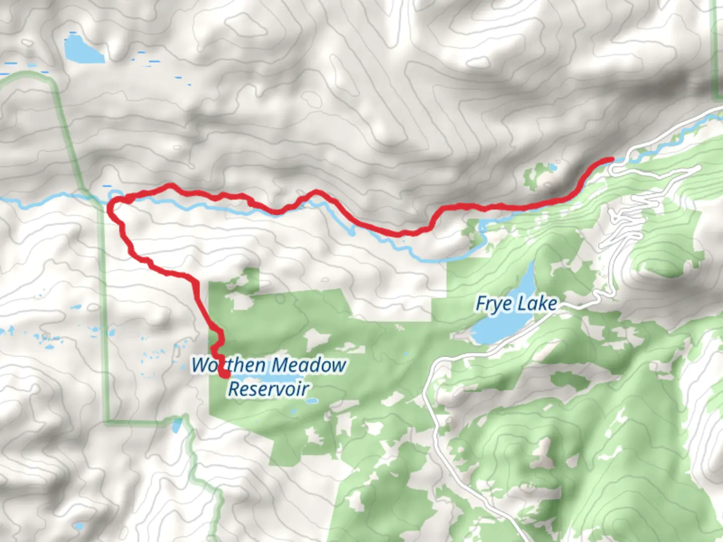
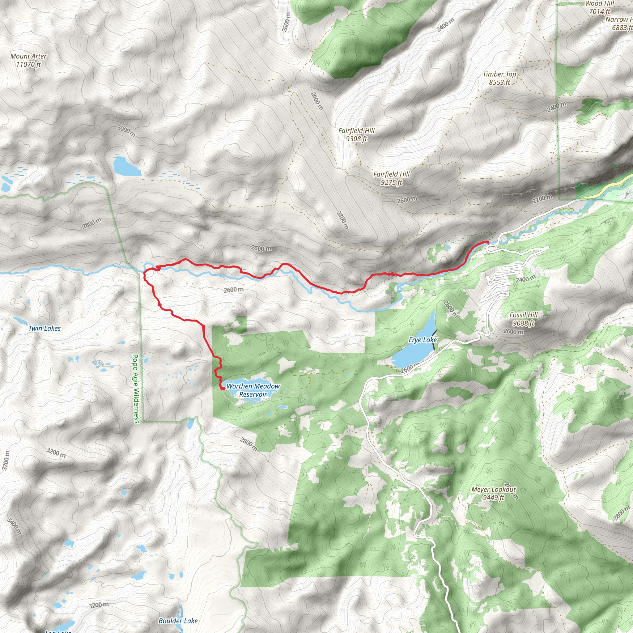
Starting near Fremont County, Wyoming, the Middle Fork Trail Out and Back spans approximately 28 kilometers (17.4 miles) with an elevation gain of around 1000 meters (3280 feet). This medium-difficulty trail offers a rewarding experience for hikers looking to explore the natural beauty and historical significance of the region.### Getting There To reach the trailhead, you can drive or use public transport. If driving, head towards the nearest significant landmark, which is the town of Lander, Wyoming. From Lander, take US-287 North for about 20 miles (32 kilometers) until you reach the turnoff for Sinks Canyon Road. Follow this road for approximately 10 miles (16 kilometers) until you reach the trailhead parking area. Public transport options are limited, so driving is recommended for convenience.### Trail Overview The Middle Fork Trail is an out-and-back route, meaning you'll hike to a designated point and then return along the same path. The trail begins with a gentle ascent through a lush forested area, offering a mix of pine and aspen trees. Early in the hike, you'll cross several small streams, so waterproof boots are advisable.### Significant Landmarks and Nature At around the 5-kilometer (3.1-mile) mark, you'll encounter a picturesque waterfall, a perfect spot for a short break and some photos. Continuing on, the trail becomes steeper, gaining elevation more rapidly as you approach the halfway point. The views here are spectacular, with panoramic vistas of the Wind River Range.### Wildlife and Flora The area is rich in wildlife, including deer, elk, and occasionally black bears. Birdwatchers will also find a variety of species, from hawks to songbirds. The flora changes with elevation, transitioning from dense forest to alpine meadows filled with wildflowers in the summer months.### Historical Significance The region has a rich history, with evidence of Native American habitation dating back thousands of years. The trail itself follows part of an old route used by early trappers and explorers. Keep an eye out for historical markers and informational plaques along the way, which provide insights into the area's past.### Navigation and Safety Given the trail's length and elevation gain, it's crucial to be well-prepared. Use the HiiKER app for accurate navigation and real-time updates on trail conditions. Ensure you have enough water, snacks, and appropriate clothing for changing weather conditions. The trail can be challenging in parts, especially during the steeper sections, so trekking poles can be beneficial.### Return Journey After reaching the turnaround point, you'll retrace your steps back to the trailhead. The descent offers a different perspective on the landscape, with opportunities to spot wildlife you might have missed on the way up. This trail provides a comprehensive experience of Wyoming's natural beauty and historical depth, making it a must-visit for any avid hiker.
What to expect?
Activity types
Comments and Reviews
User comments, reviews and discussions about the Middle Fork Trail Out and Back, Wyoming.
4.46
average rating out of 5
48 rating(s)
