Download
Preview
Add to list
More
19.0 km
~4 hrs 48 min
607 m
Out and Back
“Embark on the Middle Fork Trail for a stunning 19 km hike through Wyoming's Wind River Range.”
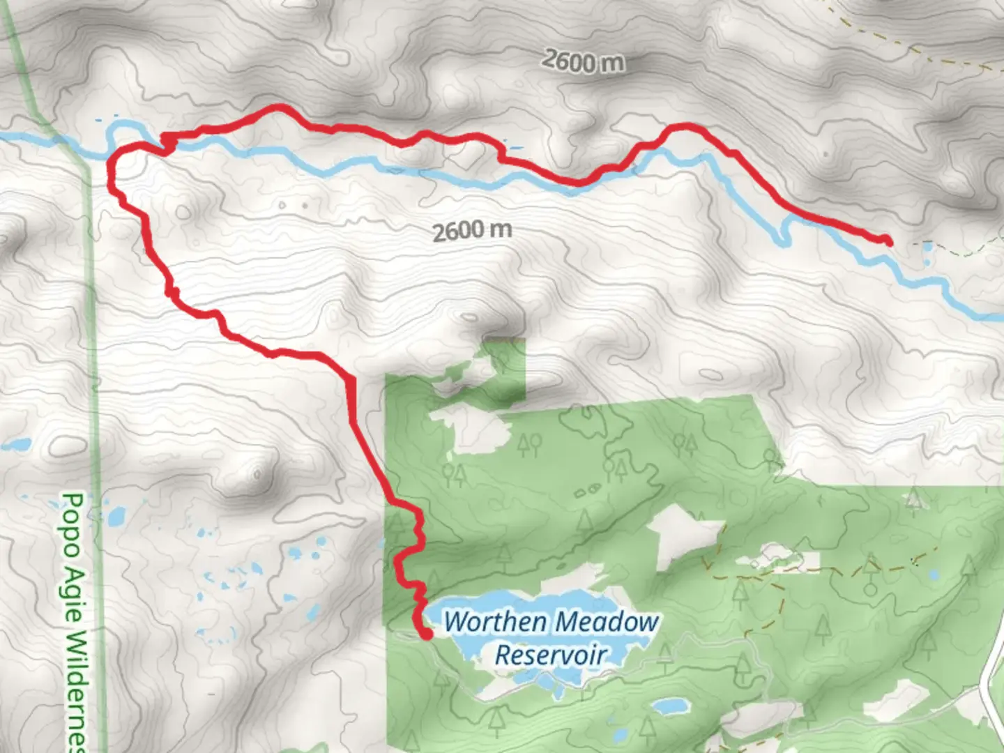
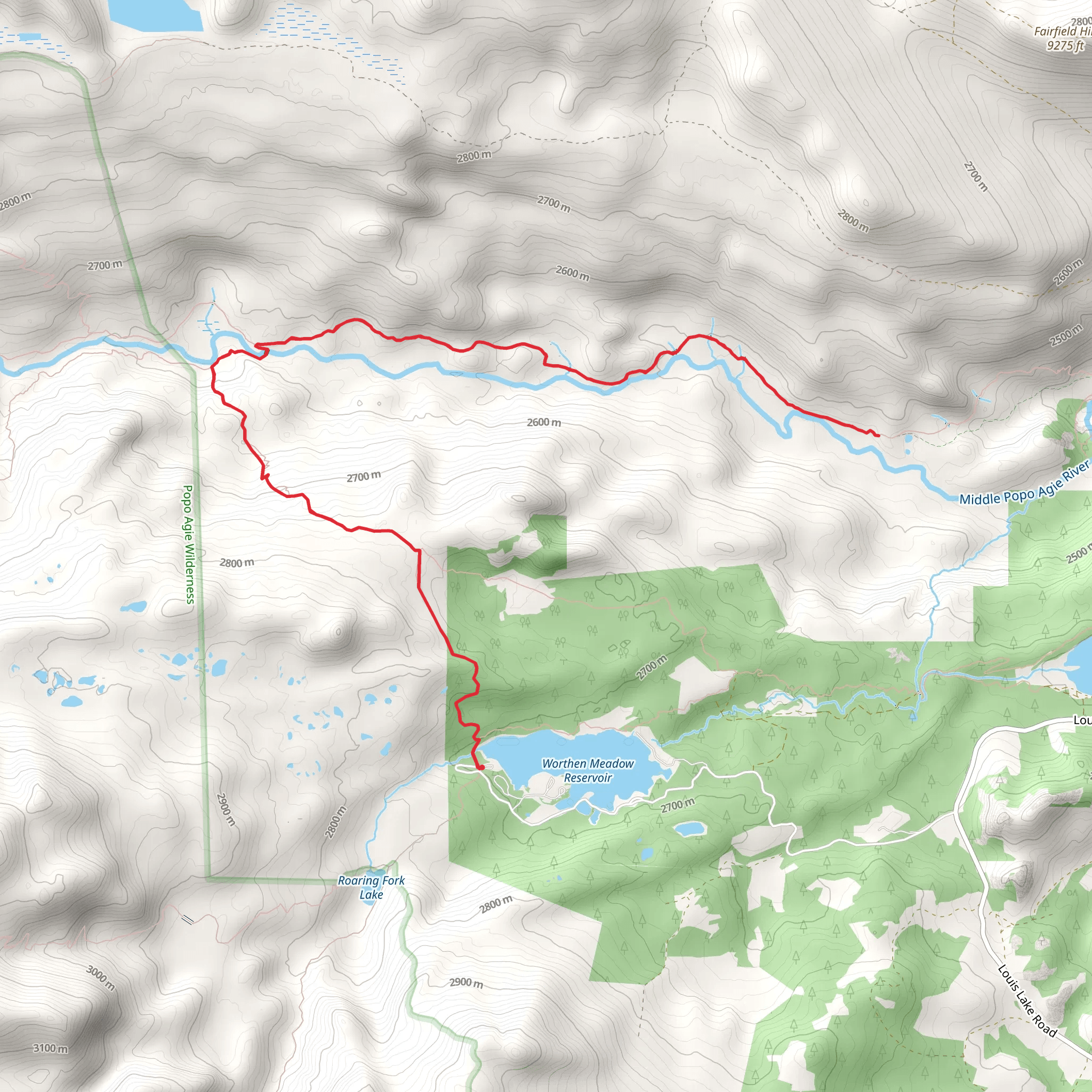
Starting your adventure near Fremont County, Wyoming, the Middle Fork Trail from Worthen Meadow Reservoir offers a captivating journey through the rugged beauty of the Wind River Range. This out-and-back trail spans approximately 19 kilometers (around 12 miles) with an elevation gain of about 600 meters (approximately 1,970 feet), making it a moderately challenging hike suitable for those with some hiking experience.
Getting There To reach the trailhead, head towards Worthen Meadow Reservoir. If you're driving, you can park at the reservoir's designated parking area. For those relying on public transport, the nearest significant town is Lander, Wyoming. From Lander, you can arrange a taxi or shuttle service to Worthen Meadow Reservoir, which is about a 30-minute drive away.
Trail Overview The trail begins at the Worthen Meadow Reservoir, a serene spot perfect for a moment of reflection before you start your hike. As you set off, you'll be greeted by the lush greenery and the sound of the Middle Fork Popo Agie River, which will accompany you for a significant portion of the hike.
Key Landmarks and Points of Interest - **Worthen Meadow Reservoir (0 km / 0 miles)**: The starting point of your hike, this reservoir is a popular spot for fishing and picnicking. Take a moment to enjoy the tranquil waters before you begin your ascent. - **Middle Fork Popo Agie River (2 km / 1.2 miles)**: Early in your hike, you'll encounter this river. The trail follows the river closely, providing picturesque views and the soothing sound of flowing water. - **Sinks Canyon State Park (5 km / 3.1 miles)**: As you progress, you'll enter the boundaries of Sinks Canyon State Park. This area is known for its unique geological formations, including the "Sinks," where the river disappears underground, and the "Rise," where it re-emerges. - **Wildlife Viewing (7 km / 4.3 miles)**: Keep an eye out for local wildlife, including mule deer, elk, and various bird species. The diverse ecosystem here is a haven for nature enthusiasts. - **Elevation Gain (10 km / 6.2 miles)**: Around the halfway point, you'll start to notice a more significant elevation gain. The trail becomes steeper, and the terrain more rugged, offering panoramic views of the surrounding mountains. - **Turnaround Point (9.5 km / 5.9 miles)**: The trail's endpoint is a scenic overlook that provides breathtaking views of the Wind River Range. This is a great spot to rest, have a snack, and take in the beauty before heading back.
Historical Significance The Wind River Range holds a rich history, with evidence of Native American presence dating back thousands of years. The Shoshone and Arapaho tribes have long considered this area sacred. Additionally, the region played a significant role during the westward expansion of the United States, with early explorers and trappers navigating these rugged landscapes.
Navigation and Safety Given the moderate difficulty of the trail, it's advisable to use a reliable navigation tool like HiiKER to stay on track. The trail is well-marked, but having a digital map can provide extra assurance. Always carry sufficient water, snacks, and a first aid kit. Weather in the Wind River Range can be unpredictable, so pack layers and be prepared for sudden changes.
Embarking on the Middle Fork Trail from Worthen Meadow Reservoir promises a rewarding experience filled with natural beauty, historical intrigue, and the chance to connect with the wild landscapes of Wyoming.
What to expect?
Activity types
Comments and Reviews
User comments, reviews and discussions about the Middle Fork Trail from Worthen Meadow Reservoir, Wyoming.
4.54
average rating out of 5
57 rating(s)
