Download
Preview
Add to list
More
4.5 km
~1 hrs 18 min
242 m
Out and Back
“The Middle Fork trail in Wyoming offers a 5 km hike through stunning landscapes and rich history.”
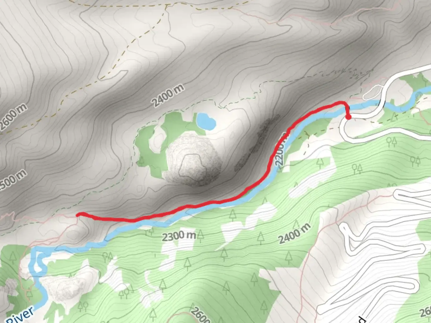
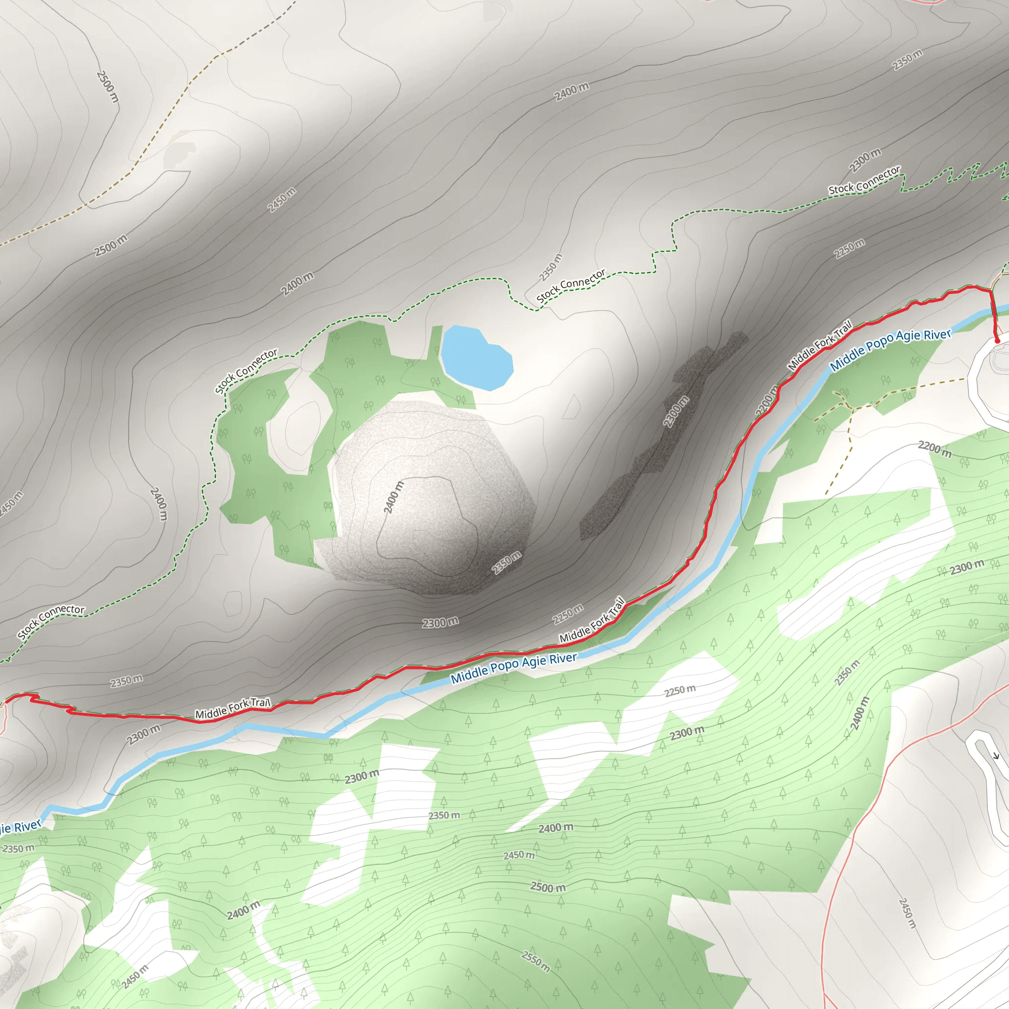
The Middle Fork trail, located near Fremont County, Wyoming, offers a moderately challenging hike with a total distance of around 5 km (approximately 3.1 miles) and an elevation gain of about 200 meters (656 feet). This out-and-back trail is perfect for those looking to experience the natural beauty of Wyoming's rugged landscape.
Getting There To reach the trailhead, you can drive or use public transport. If driving, head towards the nearest significant landmark, which is the town of Lander, Wyoming. From Lander, take US-287 North for about 15 miles (24 km) until you reach the turnoff for Sinks Canyon Road. Follow Sinks Canyon Road for approximately 10 miles (16 km) until you reach the trailhead parking area. For those using public transport, the nearest bus stop is in Lander, from where you can arrange a taxi or rideshare to the trailhead.
Trail Overview The trail begins at the parking area near Sinks Canyon State Park, a region known for its unique geological formations and rich history. As you start your hike, you'll immediately notice the lush vegetation and the sound of the Middle Fork Popo Agie River, which runs parallel to the trail for much of the hike.
Key Landmarks and Points of Interest - **Sinks Canyon State Park**: The trailhead is located near this park, famous for "The Sinks," where the river disappears into a limestone cavern and reappears a quarter-mile downstream in a pool called "The Rise." This natural phenomenon is a must-see before or after your hike. - **Wildlife Viewing**: Keep an eye out for local wildlife, including mule deer, elk, and various bird species. The area is also home to black bears, so carrying bear spray is advisable. - **Flora and Fauna**: The trail is lined with a variety of wildflowers, especially in the spring and early summer. You'll also pass through groves of aspen and pine trees, providing ample shade and a cool respite during warmer months. - **Historical Significance**: The region has a rich history, with evidence of Native American habitation dating back thousands of years. The Shoshone and Arapaho tribes have historically inhabited this area, and you may come across interpretive signs detailing their history and culture.
Trail Navigation The trail is well-marked, but it's always a good idea to have a reliable navigation tool. The HiiKER app is highly recommended for this purpose, offering detailed maps and real-time GPS tracking to ensure you stay on course.
Elevation and Terrain The trail features a steady incline, gaining approximately 200 meters (656 feet) over its 5 km (3.1 miles) length. The terrain is varied, with sections of rocky paths, dirt trails, and occasional stream crossings. Good hiking boots with ankle support are recommended.
Preparation and Safety - **Water and Snacks**: Ensure you carry enough water, especially during the summer months, as there are no water sources along the trail. High-energy snacks are also advisable. - **Weather**: The weather can change rapidly in this region, so bring layers and be prepared for sudden rain or temperature drops. - **Leave No Trace**: As always, practice Leave No Trace principles to keep this beautiful trail pristine for future hikers.
The Middle Fork trail offers a rewarding hike through some of Wyoming's most stunning landscapes, rich in natural beauty and historical significance. Whether you're a seasoned hiker or a casual adventurer, this trail provides a perfect blend of challenge and scenic splendor.
What to expect?
Activity types
Comments and Reviews
User comments, reviews and discussions about the Middle Fork trail, Wyoming.
4.5
average rating out of 5
60 rating(s)
