Download
Preview
Add to list
More
7.5 km
~2 hrs 10 min
412 m
Out and Back
“Embark on the Lake Louise via Glacier Trail for breathtaking views, wildlife, and rich history in Wyoming.”
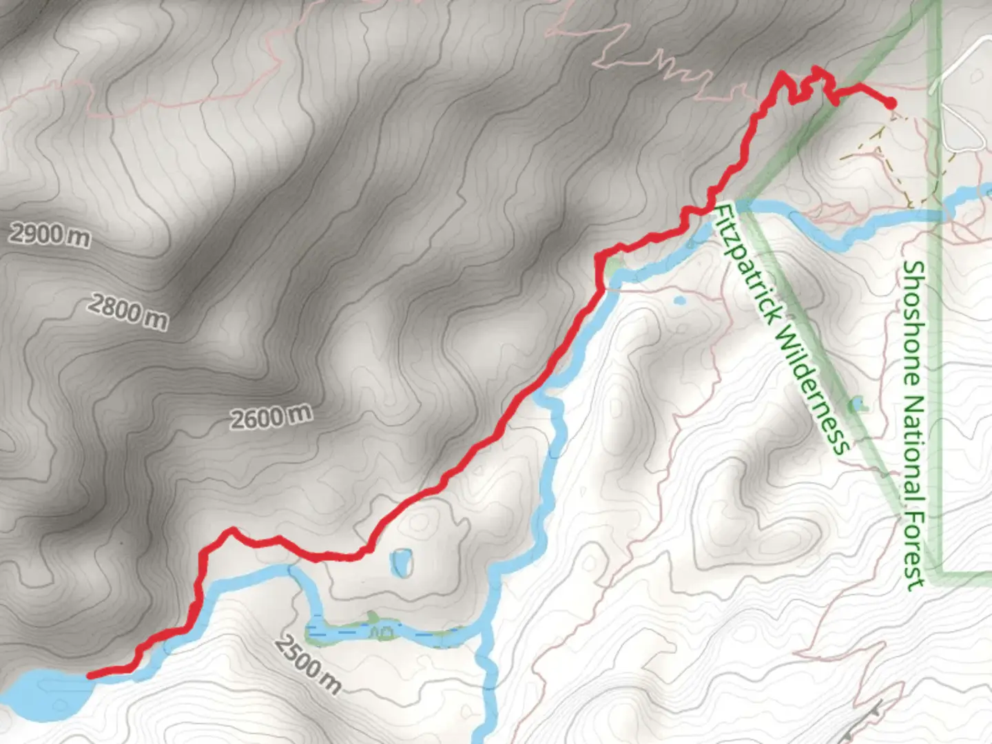
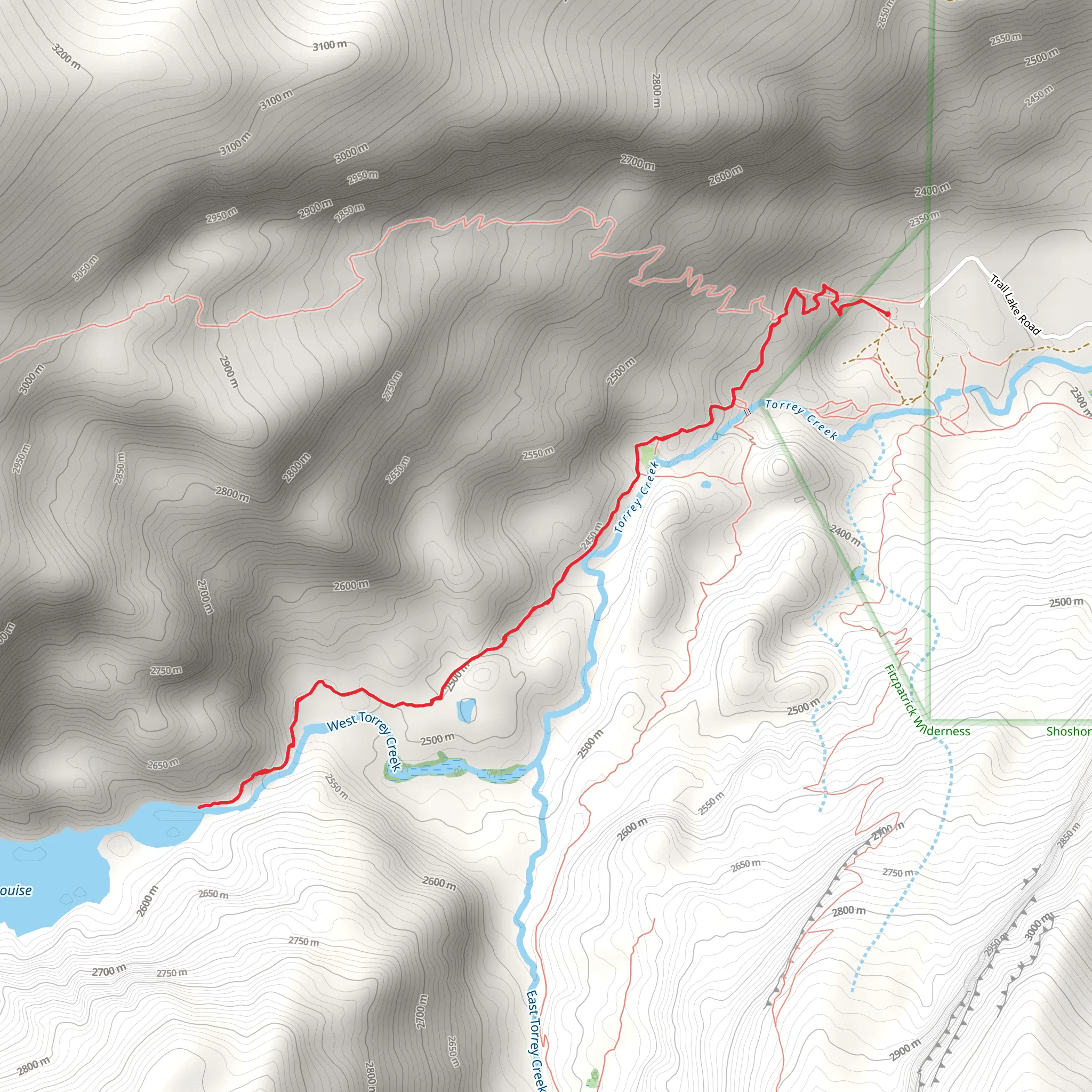
Starting your adventure near Fremont County, Wyoming, the Lake Louise via Glacier Trail offers a captivating journey through some of the most picturesque landscapes in the region. This out-and-back trail spans approximately 7 kilometers (4.3 miles) with an elevation gain of around 400 meters (1,312 feet), making it a moderately challenging hike suitable for those with a reasonable level of fitness.
Getting There To reach the trailhead, you can drive or use public transport. If driving, head towards the nearest significant landmark, the town of Dubois, Wyoming. From Dubois, take US-26 W/US-287 N for about 20 miles until you reach the Glacier Trailhead parking area. For those using public transport, the nearest bus stop is in Dubois, from where you can arrange a taxi or rideshare to the trailhead.
Trail Overview The trail begins at the Glacier Trailhead, located at an elevation of approximately 2,100 meters (6,890 feet). As you start your hike, you'll immediately be immersed in a dense forest of lodgepole pines and Engelmann spruce. The first kilometer (0.6 miles) is relatively gentle, allowing you to acclimate to the altitude and enjoy the serene surroundings.
Significant Landmarks and Nature Around the 2-kilometer (1.2-mile) mark, the trail begins to ascend more steeply. Here, you'll encounter a series of switchbacks that offer stunning views of the surrounding Wind River Range. Keep an eye out for wildlife such as mule deer, elk, and the occasional black bear. Birdwatchers will also delight in spotting species like the Clark's nutcracker and the mountain bluebird.
Historical Significance As you continue your ascent, you'll pass through areas rich in Native American history. The Wind River Range has been home to the Shoshone people for centuries, and you may come across ancient petroglyphs and other archaeological sites. These historical markers offer a glimpse into the lives of the indigenous people who once roamed these lands.
Reaching Lake Louise At approximately 3.5 kilometers (2.2 miles) in, you'll reach the highest point of the trail at around 2,500 meters (8,202 feet). From here, the trail descends slightly towards Lake Louise. The lake itself is a stunning alpine gem, surrounded by towering peaks and lush meadows. The crystal-clear waters reflect the sky and mountains, creating a perfect spot for photography or a peaceful rest.
Return Journey After soaking in the beauty of Lake Louise, retrace your steps back to the Glacier Trailhead. The descent offers a different perspective of the landscape, and you'll likely notice details you missed on the way up. The entire hike typically takes around 4-5 hours, depending on your pace and how long you spend at the lake.
Navigation and Safety For navigation, it's highly recommended to use the HiiKER app, which provides detailed maps and real-time updates. Ensure you carry enough water, snacks, and layers of clothing to adapt to changing weather conditions. Always be prepared for sudden weather changes, as mountain climates can be unpredictable.
This trail offers a perfect blend of natural beauty, wildlife, and historical significance, making it a must-visit for any hiking enthusiast.
What to expect?
Activity types
Comments and Reviews
User comments, reviews and discussions about the Lake Louise via Glacier Trail, Wyoming.
4.49
average rating out of 5
68 rating(s)
