Download
Preview
Add to list
More
34.1 km
~1 day 3 hrs
743 m
Out and Back
“Embark on the Frontier Creek Trail for a moderately challenging journey through Wyoming's breathtaking landscapes and rich history.”
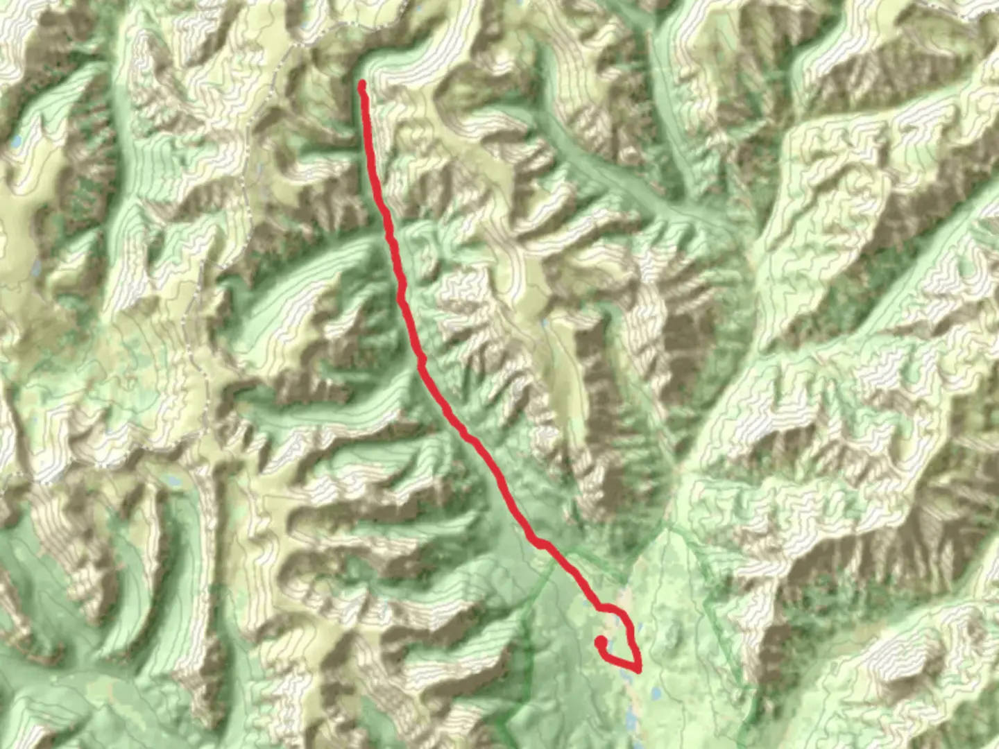
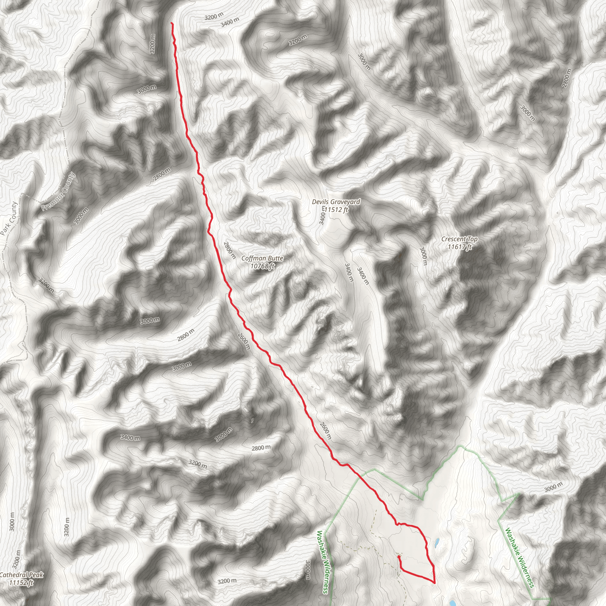
Starting your adventure near Fremont County, Wyoming, the Frontier Creek Trail offers a captivating journey through the rugged beauty of the American West. This out-and-back trail stretches approximately 34 kilometers (21 miles) and features an elevation gain of around 700 meters (2,300 feet), making it a moderately challenging hike suitable for those with some experience.
Getting There To reach the trailhead, head towards the vicinity of Lander, Wyoming. If you're driving, take U.S. Highway 287 and follow signs towards Sinks Canyon State Park. The trailhead is located near the Popo Agie Campground, which serves as a convenient starting point. For those relying on public transport, the nearest major bus station is in Lander, from where you can arrange a taxi or shuttle service to the trailhead.
Trail Overview The Frontier Creek Trail begins with a gentle ascent through a dense forest of lodgepole pines and aspens. As you progress, the trail becomes steeper, offering panoramic views of the Wind River Range. The first significant landmark you'll encounter is the Popo Agie River, approximately 5 kilometers (3 miles) in. This is a great spot to take a break and enjoy the serene surroundings.
Wildlife and Flora Keep an eye out for local wildlife, including mule deer, elk, and the occasional black bear. Birdwatchers will be delighted by sightings of bald eagles, hawks, and various songbirds. The flora is equally impressive, with wildflowers such as Indian paintbrush and lupine adding splashes of color to the landscape, especially in late spring and early summer.
Historical Significance The region around Fremont County is rich in Native American history, particularly of the Shoshone tribe. Artifacts and petroglyphs can be found in the area, offering a glimpse into the lives of the indigenous people who once roamed these lands. The trail itself was used by early trappers and explorers, adding a layer of historical intrigue to your hike.
Key Landmarks Around the 12-kilometer (7.5-mile) mark, you'll reach a stunning viewpoint overlooking Frontier Creek. This is one of the highest points on the trail, with an elevation gain of about 400 meters (1,300 feet) from the start. The view here is breathtaking, offering a sweeping panorama of the surrounding valleys and peaks.
Continuing on, the trail descends slightly before climbing again towards the final stretch. At approximately 17 kilometers (10.5 miles), you'll reach the turnaround point near a picturesque alpine meadow. This is an ideal spot for a picnic and some rest before heading back.
Navigation and Safety Given the trail's moderate difficulty, it's advisable to use a reliable navigation tool like HiiKER to keep track of your progress and ensure you stay on course. The trail is well-marked, but weather conditions can change rapidly, so always be prepared with appropriate gear, including a map, compass, and plenty of water.
Final Stretch As you make your way back, take the opportunity to appreciate the changing perspectives and the beauty of the landscape from a different angle. The descent offers a more relaxed pace, allowing you to soak in the natural splendor and reflect on the historical significance of the area.
Whether you're drawn by the promise of stunning vistas, the allure of local wildlife, or the rich history embedded in the landscape, the Frontier Creek Trail offers a rewarding experience for any hiker.
What to expect?
Activity types
Comments and Reviews
User comments, reviews and discussions about the Frontier Creek Trail, Wyoming.
4.38
average rating out of 5
13 rating(s)
