Download
Preview
Add to list
More
Trail length
9.9 km
Time
~2 hrs 51 min
Elevation Gain
531 m
Hike Type
Out and Back
“Embark on the moderately challenging Twin Peaks Trail in Converse County, Wyoming, for stunning views and rich history.”
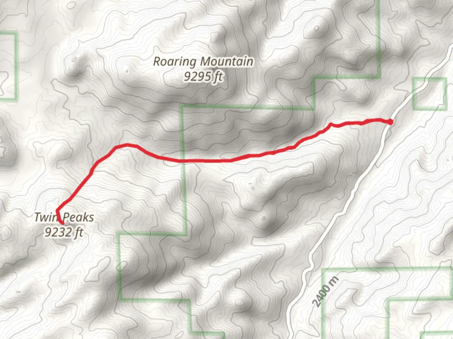
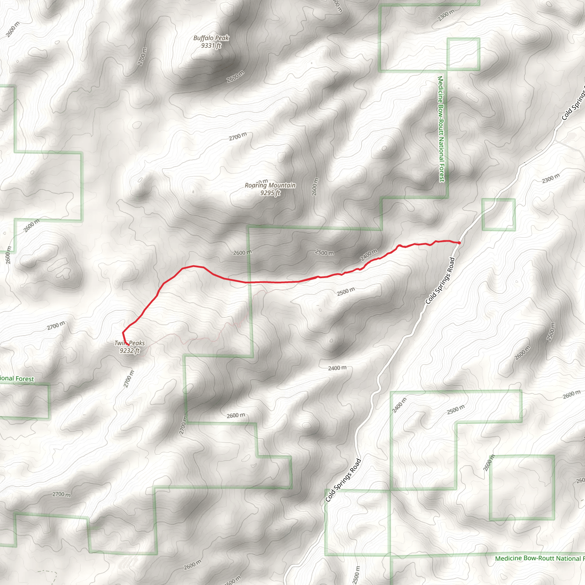
Starting your adventure near Converse County, Wyoming, the Twin Peaks Trail offers a captivating journey through diverse landscapes. This out-and-back trail spans approximately 10 kilometers (6.2 miles) with an elevation gain of around 500 meters (1,640 feet), making it a moderately challenging hike suitable for those with some hiking experience.
Getting There To reach the trailhead, you can drive or use public transportation. If driving, head towards the nearest significant landmark, the Ayres Natural Bridge Park, located about 20 miles southwest of Douglas, Wyoming. From there, follow local roads to the trailhead. For those using public transport, the nearest bus stop is in Douglas, Wyoming. From Douglas, you may need to arrange a taxi or rideshare to reach the trailhead.
Trail Overview The trail begins with a gentle ascent through a mixed forest of pine and aspen, offering a serene start to your hike. As you progress, the trail becomes steeper, and the terrain more rugged, providing a good workout for your legs. The first significant landmark you'll encounter is a small, clear stream about 2 kilometers (1.2 miles) in, which is a great spot to take a short break and enjoy the natural surroundings.
Mid-Trail Highlights Around the 4-kilometer (2.5-mile) mark, you'll reach a scenic overlook that offers panoramic views of the surrounding valleys and distant mountain ranges. This is an excellent spot for photography and to catch your breath before the final push to the peaks. The trail continues to climb steadily, and you'll notice the vegetation changing as you gain elevation, with more alpine flora appearing.
Wildlife and Nature The Twin Peaks Trail is home to a variety of wildlife, including mule deer, elk, and occasionally black bears. Birdwatchers will also be delighted by the presence of species such as the mountain bluebird and the Clark's nutcracker. Keep your eyes peeled and your camera ready, but always maintain a safe distance from any wildlife you encounter.
Historical Significance The region around Converse County has a rich history, with Native American tribes such as the Arapaho and Shoshone having inhabited the area for centuries. The trail itself follows some of the routes used by early explorers and settlers, adding a layer of historical intrigue to your hike.
Final Ascent and Peaks The final stretch to the Twin Peaks is the most challenging, with a steep ascent that will test your endurance. However, the effort is well worth it. Upon reaching the peaks, you'll be rewarded with breathtaking 360-degree views of the surrounding landscape. On a clear day, you can see for miles, making it a perfect spot to rest, have a snack, and take in the beauty of Wyoming's wilderness.
Navigation and Safety Given the moderate difficulty of the trail, it's advisable to use a reliable navigation tool like HiiKER to ensure you stay on track. The trail is well-marked, but weather conditions can change rapidly, so always be prepared with appropriate gear, including a map, compass, and plenty of water.
Return Journey The return journey follows the same path, allowing you to enjoy the views from a different perspective. Take your time on the descent, as the steep sections can be tricky. Once back at the trailhead, you'll have completed a rewarding hike that showcases some of the best natural and historical features of Converse County, Wyoming.
What to expect?
dog-friendly
scenic-views
wildlife
Activity types
hiking
Comments and Reviews
User comments, reviews and discussions about the Twin Peaks Trail, Wyoming.
4.47
average rating out of 5
55 rating(s)
