Download
Preview
Add to list
More
8.8 km
~2 hrs 32 min
476 m
Point-to-Point
“The Rock Creek Trail - Short in Wyoming offers a scenic, moderately challenging 9-kilometer hike with rich history and wildlife.”
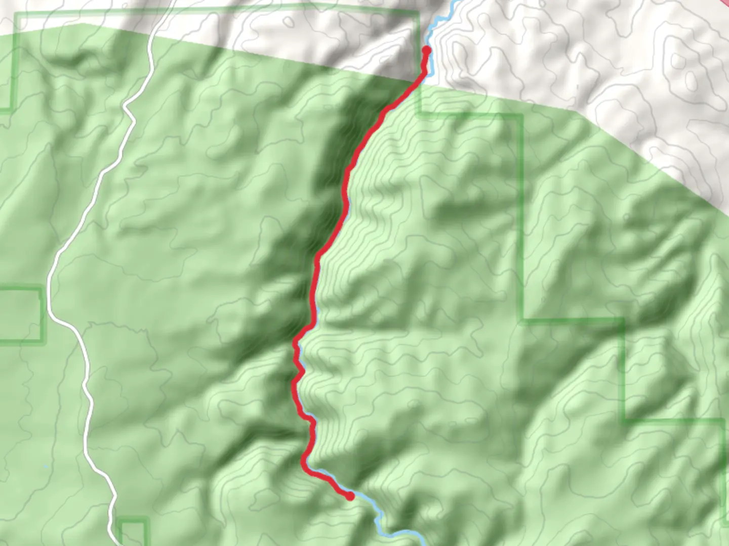
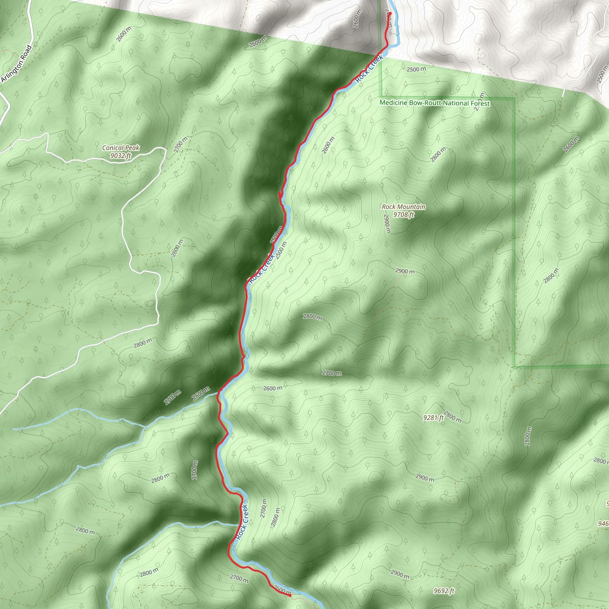
Starting near Carbon County, Wyoming, the Rock Creek Trail - Short is a point-to-point trail that spans approximately 9 kilometers (around 5.6 miles) with an elevation gain of about 400 meters (roughly 1,312 feet). This trail is rated as medium difficulty, making it suitable for moderately experienced hikers.
Getting There To reach the trailhead, you can drive or use public transport. If driving, head towards Carbon County, Wyoming, and look for the nearest significant landmark, which is the Medicine Bow-Routt National Forests and Thunder Basin National Grassland. The trailhead is accessible from the forest's main entrance. For those using public transport, the nearest bus stop is in Saratoga, Wyoming. From Saratoga, you can take a taxi or rideshare service to the trailhead.
Trail Overview The Rock Creek Trail - Short offers a diverse hiking experience through the scenic landscapes of Wyoming. The trail begins with a gentle ascent, allowing hikers to acclimate to the elevation gain gradually. As you progress, the trail becomes steeper, offering more challenging sections that reward you with stunning views of the surrounding area.
Landmarks and Points of Interest - **Rock Creek**: Approximately 2 kilometers (1.2 miles) into the hike, you'll encounter Rock Creek, a serene waterway that provides a perfect spot for a short break. The creek is home to various species of fish and is a popular spot for birdwatching. - **Wildlife**: Keep an eye out for local wildlife, including mule deer, elk, and occasionally black bears. It's advisable to carry bear spray and make noise to avoid surprising any animals. - **Flora**: The trail is lined with a variety of wildflowers, especially in the spring and early summer. Look for lupines, Indian paintbrush, and columbines. - **Historical Significance**: The area around Rock Creek has a rich history, with evidence of Native American presence dating back thousands of years. The trail itself was used by early settlers and trappers in the 19th century.
Navigation For navigation, it's recommended to use the HiiKER app, which provides detailed maps and real-time updates. The trail is well-marked, but having a reliable navigation tool ensures you stay on track, especially in areas where the path may be less defined.
Elevation Profile The trail's elevation gain is gradual at first, with the most significant climb occurring in the middle section. The highest point of the trail offers panoramic views of the Medicine Bow Mountains, making the climb well worth the effort.
Preparation Tips - **Footwear**: Sturdy hiking boots are recommended due to the rocky and uneven terrain. - **Water**: Carry at least 2 liters of water, as there are limited sources along the trail. - **Weather**: Check the weather forecast before heading out. The region can experience sudden changes in weather, so pack layers and rain gear. - **Permits**: No permits are required for this trail, but it's always good to check for any updates or restrictions from the local forest service.
The Rock Creek Trail - Short offers a rewarding hike through some of Wyoming's most beautiful landscapes, combining natural beauty with historical significance.
What to expect?
Activity types
Comments and Reviews
User comments, reviews and discussions about the Rock Creek Trail - Short, Wyoming.
4.52
average rating out of 5
67 rating(s)
