Download
Preview
Add to list
More
10.7 km
~2 hrs 48 min
394 m
Out and Back
“Embark on a rewarding 11-km hike through Medicine Bow's stunning landscapes, rich in history and biodiversity.”
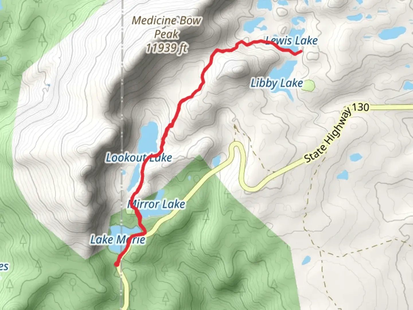
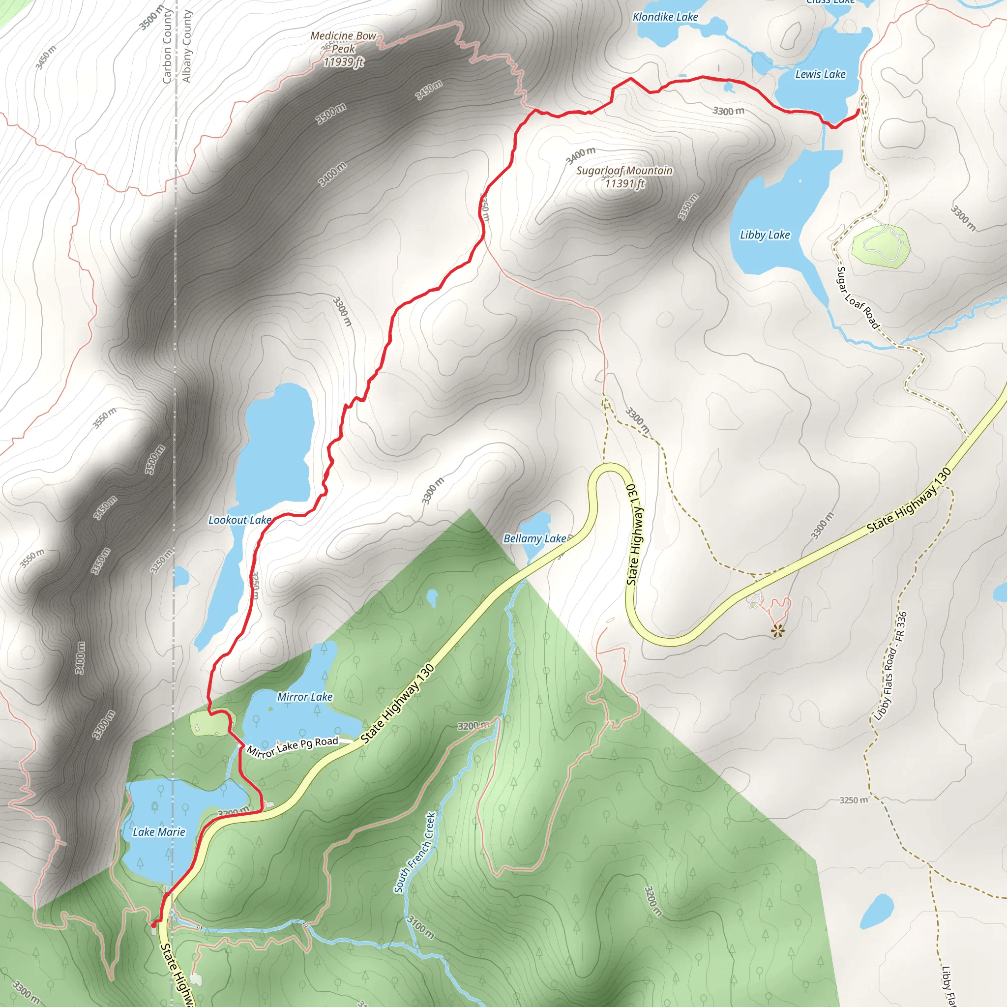
Starting your adventure near Carbon County, Wyoming, the trailhead for the Lewis Lake via Medicine Bow Peak Trail is easily accessible by car. If you're using public transport, the nearest significant landmark is the town of Centennial, Wyoming. From there, you may need to arrange a taxi or rideshare to reach the trailhead.The trail spans approximately 11 kilometers (around 7 miles) with an elevation gain of about 300 meters (approximately 1,000 feet). This out-and-back trail is rated as medium difficulty, making it suitable for moderately experienced hikers.### Trail OverviewAs you begin your hike, you'll find yourself surrounded by the stunning landscapes of the Medicine Bow National Forest. The trail starts with a gentle ascent, allowing you to acclimate to the elevation gradually. Early on, you'll pass through dense forests of lodgepole pine and Engelmann spruce, offering a serene and shaded environment.### Significant LandmarksAround the 2-kilometer (1.2-mile) mark, you'll encounter the first significant landmark: Lake Marie. This picturesque alpine lake is a great spot for a short break and some photography. The trail continues to ascend, and as you reach the 4-kilometer (2.5-mile) point, you'll come across the Mirror Lake Scenic Byway. This area provides panoramic views of the Snowy Range, a sight that is particularly breathtaking during sunrise or sunset.### Flora and FaunaThe trail is rich in biodiversity. Keep an eye out for wildflowers such as Indian paintbrush and lupine, especially in the summer months. Wildlife is abundant; you might spot mule deer, marmots, and even the occasional moose. Birdwatchers will be delighted by the presence of species like the Clark's nutcracker and the mountain bluebird.### Historical SignificanceThe Medicine Bow Peak area holds historical significance as it was a vital hunting ground for Native American tribes, including the Arapaho and Shoshone. The name "Medicine Bow" itself is derived from the Native American practice of gathering mountain mahogany wood in the area to make bows.### Reaching the SummitAs you approach the 5.5-kilometer (3.4-mile) mark, you'll begin the final ascent to Medicine Bow Peak. This section is more challenging, with a steeper incline and rocky terrain. The summit, standing at 3,662 meters (12,013 feet), offers unparalleled 360-degree views of the surrounding landscape, including the Snowy Range and the distant plains of Wyoming.### Navigation and SafetyGiven the trail's elevation and variable weather conditions, it's crucial to be prepared. Always check the weather forecast before you set out and bring layers to accommodate temperature changes. The trail is well-marked, but it's advisable to use a reliable navigation tool like HiiKER to ensure you stay on course.### Return JourneyThe descent follows the same path, allowing you to revisit the scenic spots you passed earlier. Take your time to enjoy the views and perhaps spot some wildlife you missed on the way up. The return journey is generally easier, but be cautious on the rocky sections to avoid slips and falls.This trail offers a blend of natural beauty, historical significance, and moderate physical challenge, making it a rewarding experience for those who undertake it.
What to expect?
Activity types
Comments and Reviews
User comments, reviews and discussions about the Lewis Lake via Medicine Bow Peak Trail, Wyoming.
4.57
average rating out of 5
61 rating(s)
