Download
Preview
Add to list
More
20.8 km
~1 day 0 hrs
702 m
Out and Back
“Experience a rewarding hike with stunning views, historical relics, and diverse wildlife on the Mexican Hill trail.”
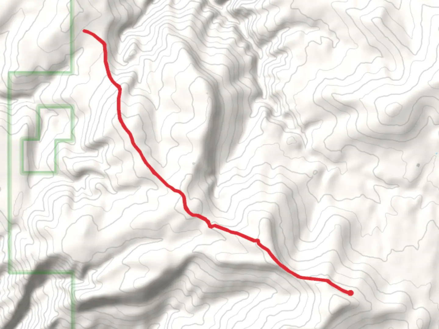
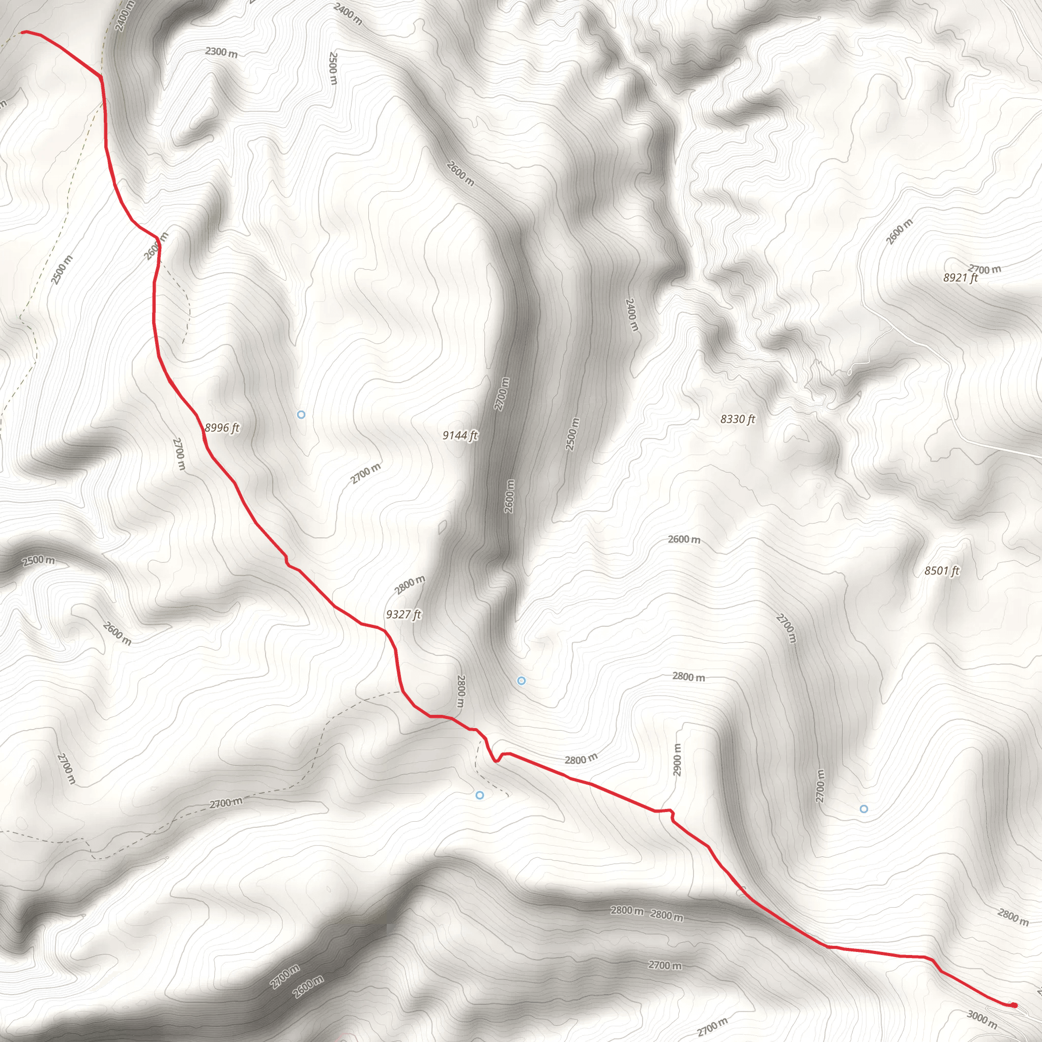
Starting near Big Horn County, Wyoming, this 21 km (approximately 13 miles) out-and-back trail offers a moderately challenging hike with an elevation gain of around 700 meters (approximately 2,300 feet). The trailhead is accessible by car, with the nearest significant landmark being the town of Greybull, Wyoming. From Greybull, head east on US-14 for about 30 miles until you reach the turnoff for the trailhead.### Trail OverviewThe Mexican Hill trail begins with a gentle ascent through a mixed forest of pine and aspen. The initial 3 km (1.9 miles) are relatively easy, with an elevation gain of about 100 meters (328 feet). This section is perfect for warming up your legs and getting accustomed to the terrain. Keep an eye out for mule deer and wild turkeys, which are commonly seen in this area.### Mid-Trail FeaturesAs you progress further, the trail becomes steeper and more rugged. Between the 3 km (1.9 miles) and 10 km (6.2 miles) marks, you'll gain approximately 400 meters (1,312 feet) in elevation. This section offers stunning views of the Bighorn Mountains and the surrounding valleys. Make sure to take breaks and hydrate, as the incline can be quite demanding. The trail is well-marked, but it's advisable to use HiiKER for navigation to ensure you stay on the correct path.### Historical SignificanceAround the 8 km (5 miles) mark, you'll come across remnants of old mining operations. This area was historically significant during the late 19th and early 20th centuries when prospectors searched for precious minerals. Take a moment to explore these relics, but be cautious as some structures may be unstable.### Wildlife and FloraThe trail is rich in biodiversity. As you ascend, you'll notice a transition from mixed forest to alpine meadows. These meadows are particularly beautiful in late spring and early summer when wildflowers like lupines and Indian paintbrush are in full bloom. Keep an eye out for elk and, if you're lucky, you might even spot a black bear from a safe distance.### Final Ascent and SummitThe final 3 km (1.9 miles) to the summit of Mexican Hill are the most challenging, with an elevation gain of about 200 meters (656 feet). The trail narrows and becomes rockier, requiring careful footing. Upon reaching the summit, you'll be rewarded with panoramic views of the Bighorn Basin and the Absaroka Range. This is a perfect spot for a well-deserved rest and some photography.### Return JourneyThe return journey follows the same path back to the trailhead. While descending, take your time to enjoy the scenery and perhaps spot some wildlife you may have missed on the way up. The descent is easier on the legs but still requires caution, especially on the steeper sections.### Getting ThereFor those relying on public transport, the nearest major town is Cody, Wyoming. From Cody, you can take a bus to Greybull and then arrange for a taxi or rideshare to the trailhead. If driving, ample parking is available at the trailhead, but it's advisable to arrive early, especially on weekends, to secure a spot.This trail offers a mix of natural beauty, historical intrigue, and physical challenge, making it a rewarding experience for any hiker.
What to expect?
Activity types
Comments and Reviews
User comments, reviews and discussions about the Mexican Hill, Wyoming.
4.5
average rating out of 5
22 rating(s)
