Download
Preview
Add to list
More
17.2 km
~4 hrs 11 min
453 m
Loop
“Embark on a 17 km loop through Dolly Sods Wilderness, featuring panoramic vistas, diverse ecosystems, and rich history.”
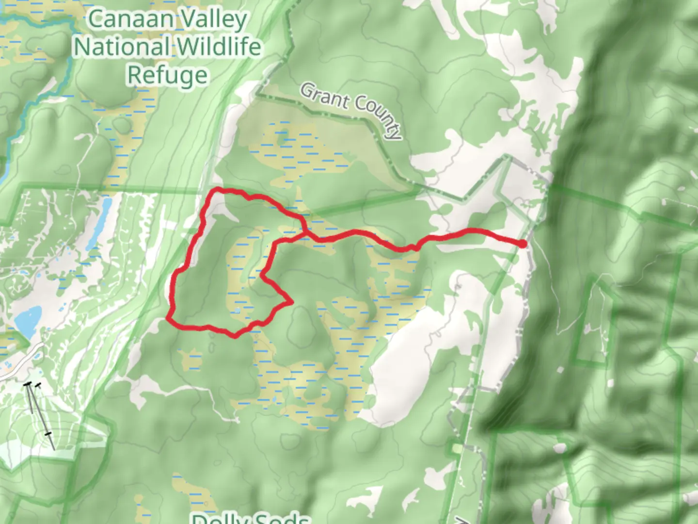
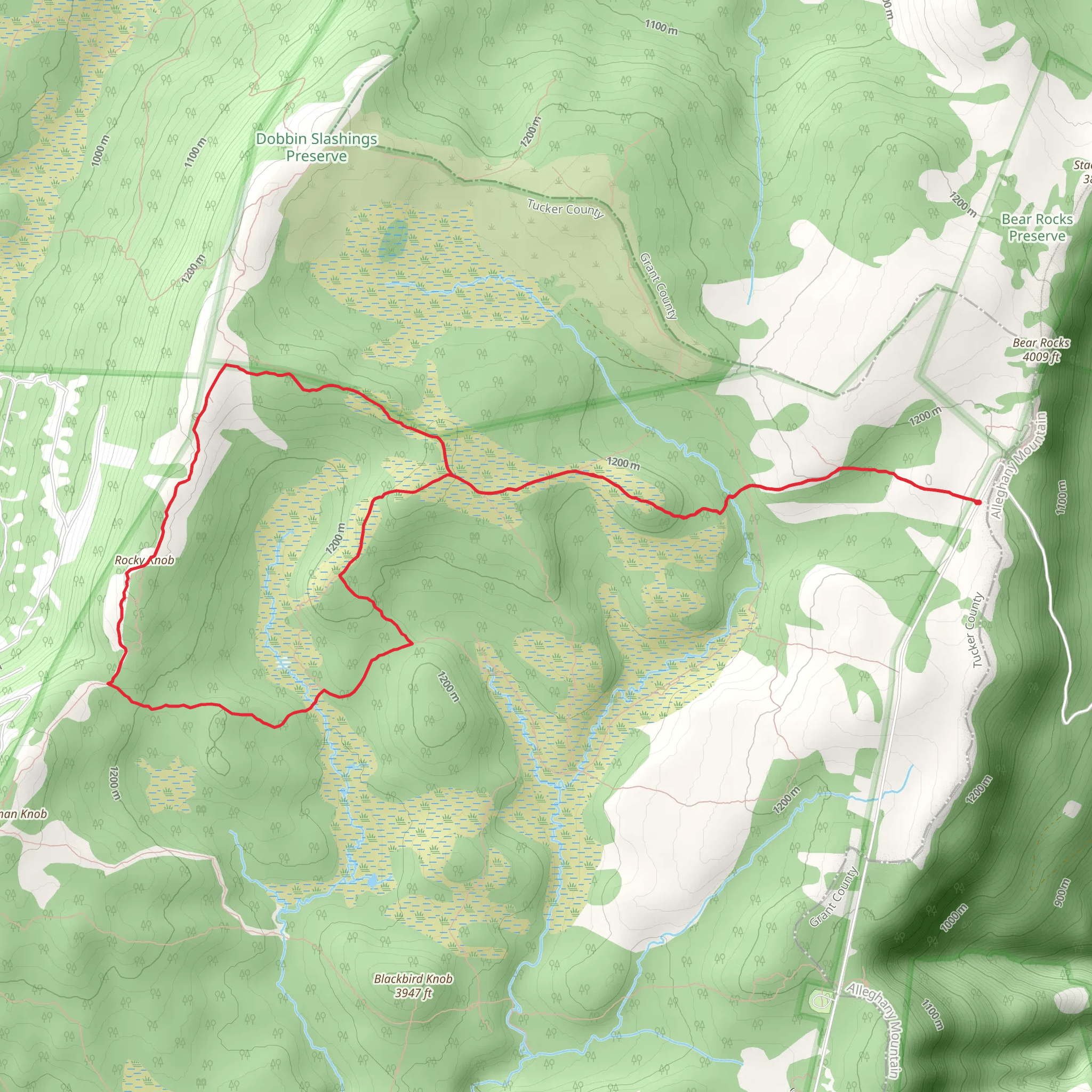
Starting near Tucker County, West Virginia, this 17 km (10.5 miles) loop trail offers a moderate challenge with an elevation gain of approximately 400 meters (1,312 feet). The trailhead is accessible by car, with parking available near the Dolly Sods Wilderness area. For those relying on public transport, the nearest significant landmark is the town of Davis, WV, from where you can arrange a taxi or shuttle service to the trailhead.### Trail OverviewThe Bear Rocks, Raven Ridge, and Beaver View Loop Trail takes you through the stunning landscapes of the Dolly Sods Wilderness. This area is known for its unique high-altitude plateau, which features sweeping vistas, rocky outcrops, and diverse ecosystems. The trail is well-marked, but it's advisable to use the HiiKER app for navigation to ensure you stay on course.### Key Sections and LandmarksBear Rocks (0-3 km / 0-1.9 miles): Starting from the trailhead, the first section leads you to Bear Rocks, a prominent feature offering panoramic views of the surrounding wilderness. The rocky outcrops here are a great spot for photography and a brief rest. The elevation gain in this section is gradual, making it a good warm-up for the more challenging parts ahead.Raven Ridge (3-8 km / 1.9-5 miles): Continuing from Bear Rocks, the trail ascends more steeply as you approach Raven Ridge. This section is characterized by open meadows and patches of dense forest. Keep an eye out for wildlife such as white-tailed deer and various bird species. The ridge itself provides another excellent vantage point, with views extending across the Canaan Valley.Beaver View (8-12 km / 5-7.5 miles): Descending from Raven Ridge, the trail takes you through a series of wetlands and streams. This area is rich in flora and fauna, including beavers, which have created several ponds and dams. The trail can be muddy here, so waterproof boots are recommended. The elevation change is less pronounced, offering a more relaxed hike through this section.Return Loop (12-17 km / 7.5-10.5 miles): The final stretch of the loop brings you back towards the trailhead. This part of the trail is relatively flat and passes through mixed hardwood forests. It's a good opportunity to cool down and reflect on the diverse landscapes you've traversed. The trail here is well-maintained, making for an easy finish to your hike.### Historical SignificanceThe Dolly Sods Wilderness has a rich history, including its use as a training ground for U.S. soldiers during World War II. Evidence of this can still be found in the form of old artillery shells, so it's important to stay on marked trails and avoid disturbing any suspicious objects. The area is also historically significant for its unique ecology, which resembles the tundra found much further north.### Preparation Tips- Navigation: Use the HiiKER app for real-time navigation and trail updates. - Footwear: Waterproof boots are recommended due to wet and muddy sections. - Weather: The weather can change rapidly, so bring layers and rain gear. - Wildlife: Be aware of local wildlife and practice Leave No Trace principles. - Water: Carry sufficient water and a filter, as natural water sources are available but may require purification.This trail offers a rewarding experience for those prepared to tackle its moderate challenges, with diverse landscapes and rich history making it a memorable hike.
What to expect?
Activity types
Comments and Reviews
User comments, reviews and discussions about the Bear Rocks, Raven Ridge and Beaver View Loop Trail, West Virginia.
4.52
average rating out of 5
63 rating(s)
